Visualizing Boston
Information
Overview:
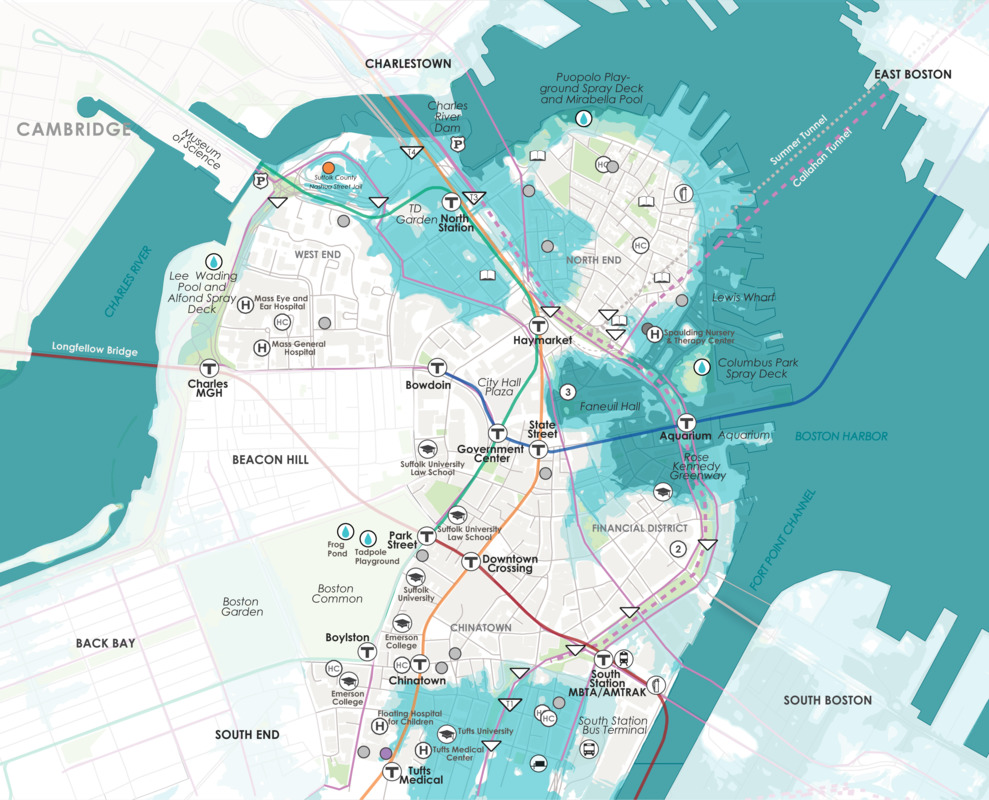
The Map Center has created several different versions of Visualizing Boston. In these lessons, students go through the process of closely reading two individual maps that show some kind of information about Boston and then look at the maps side by side to think about how they inform or complicate one another. These lessons ask students to slow down their examination of each map and consider how the map is showing information and what it can tell them and NOT tell them about some aspect of Boston, from demographics to the climate crisis.
- Material Type:
- Lesson Plan
- Grade Level:
- 6, 7, 8, 9, 10, 11, 12
- Subjects:
- 1945 to the Present, Civics and Government, Boston's Changing Geography, Boston Neighborhoods, Geography
- Location:
- Boston
- Time Period:
- N/A