Harvard University, Harvard Map Collection
The Harvard Map Collection, founded in 1818, is the oldest map collection in the United States. It houses one of the largest collections of maps, atlases and digital data in North America. The collection has grown to include ca. 400,000 maps, more than 6,000 atlases, and several thousand reference books. Topographic maps, city plans, nautical charts, and thematic maps comprise this excellent research collection representing all chronological periods and significant map makers. The Map Collection also has a strong commitment to digital resources and manages the collections of the Harvard Geospatial Library.
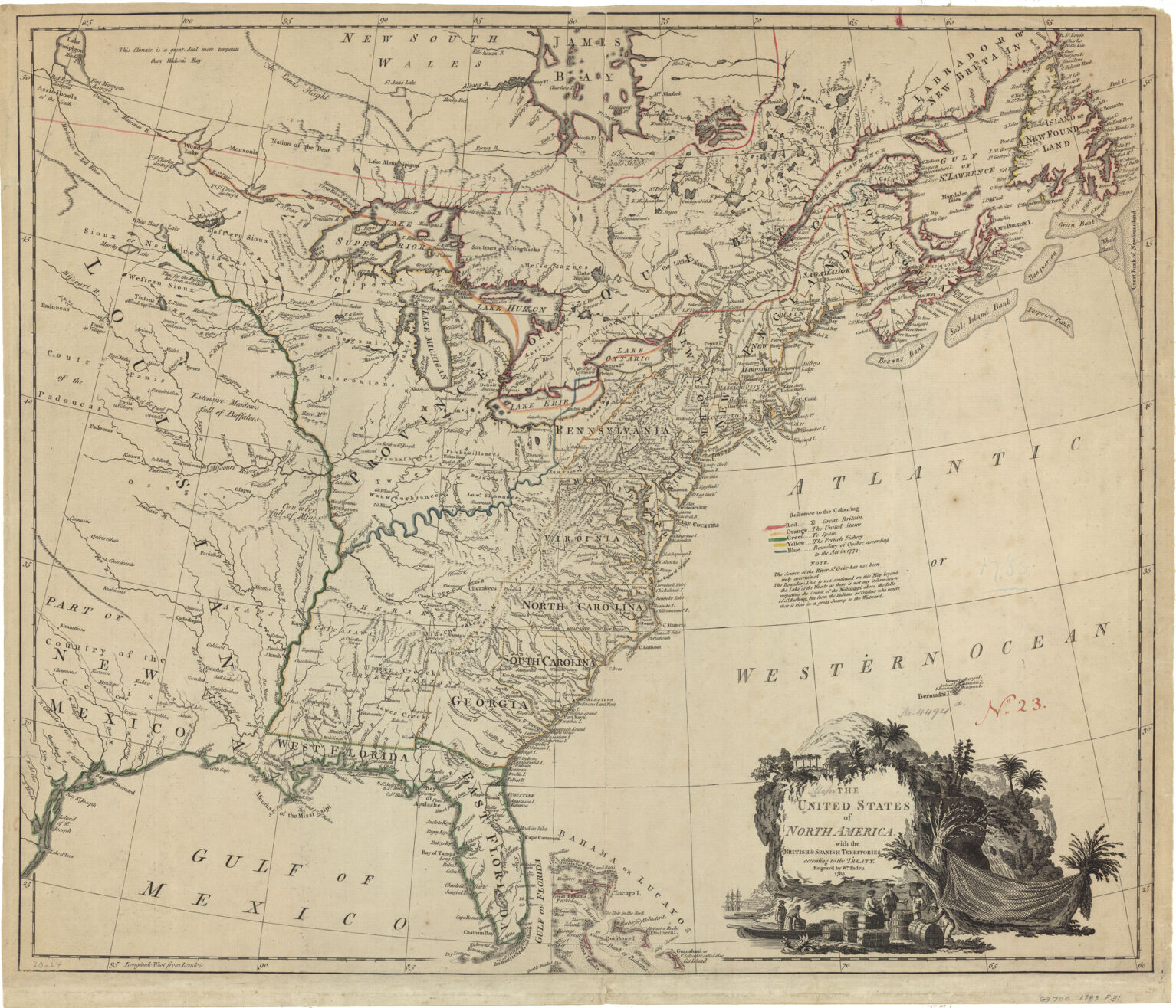
While the Harvard Map Collection holds approximately 2,000 maps dating from the 1750-1800 time period, only a small number of maps (61) pertaining to the American Revolution have been digitized. From these digital files, we have selected approximately 30 printed maps related to the Revolutionary War, dated from 1775-1795. These maps are not duplicated in the collections of the Leventhal Map Center.
https://library.harvard.edu/libraries/harvard-map-collection
The Harvard Map Collection, founded in 1818, is the oldest map collection in the United States. It houses one of the largest collections of maps, atlases and digital data in North America. The collection has grown to include ca. 400,000 maps, more than 6,000 atlases, and several thousand reference books. Topographic maps, city plans, nautical charts, and thematic maps comprise this excellent research collection representing all chronological periods and significant map makers. The Map Collection also has a strong commitment to digital resources and manages the collections of the Harvard Geospatial Library.
While the Harvard Map Collection holds approximately 2,000 maps dating from the 1750-1800 time period, only a small number of maps (61) pertaining to the American Revolution have been digitized. From these digital files, we have selected approximately 30 printed maps related to the Revolutionary War, dated from 1775-1795. These maps are not duplicated in the collections of the Leventhal Map Center.
https://library.harvard.edu/libraries/harvard-map-collection