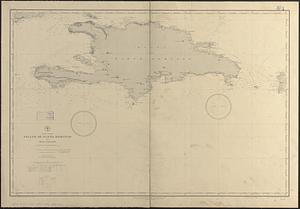
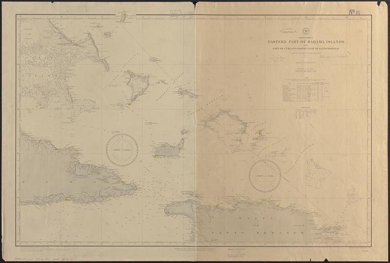
West Indies, eastern part of Bahama Islands with part of Cuba and north coast of Santo Domingo : compiled from the latest British and Spanish charts 1885
Item Information
- Title:
- West Indies, eastern part of Bahama Islands with part of Cuba and north coast of Santo Domingo : compiled from the latest British and Spanish charts 1885
- Issuing body:
- United States. Hydrographic Office
- Engraver:
- Evans, H. C. (Henry C.)
- Draftsman:
- Mahon, Charles
- Name on Item:
-
drawn by Chas. Mahon ; engraved by H.C. Evans
- Date:
-
[1897]
- Format:
-
Maps/Atlases
- Genre:
-
Nautical charts
- Location:
-
Boston Public Library
Norman B. Leventhal Map & Education Center - Collection (local):
-
Norman B. Leventhal Map & Education Center Collection
- Subjects:
-
Bahamas--Maps
Cuba--Maps
Haiti--Maps
Nautical charts--Bahamas
Nautical charts--Cuba
Nautical charts--Haiti
- Places:
-
Bahamas
Cuba
Haiti
- Extent:
- 1 map ; 64 x 95 cm
- Terms of Use:
-
No known copyright restrictions.
No known restrictions on use.
- Publisher:
-
Washington, D.C. :
Hydrographic Office
- Scale:
-
Scale approximately 1:930,000
- Language:
-
English
- Notes:
-
Relief shown by hachures and spot heights. Depths shown by soundings and isolines.
Stamped in bottom margin: This chart corrected to Oct 14 1897 the date of issue from the Hydrographic Office.
- Notes (date):
-
This date is inferred.
- Identifier:
-
06_01_017090
- Call #:
-
G9096.P5 svar .U55 no. 946 1897
- Barcode:
-
39999085953477