Toggle navigation
LMEC Home
Exhibitions
Georeferencing
Tools for Teachers
Collections
My Favorites
Sign Up / Log In
Search
Search the map portal
Map Collection
Map Collection
Map Sets
Search
Search
Search for
Search In
All Fields
Creator
Title
Subject
Place
Search All Digital Collections
Advanced Search
157 Results
My Search
Start Over
georgia
Remove constraint georgia
Filter your Search
Place
North and Central America
136
Georgia
85
United States
75
South Carolina
39
North Carolina
25
Florida
23
Chatham (county)
20
Savannah
18
more
Place
»
Topic
Georgia--Maps
23
Georgia--Maps--Early works to 1800
15
South Carolina--Maps
10
South Carolina--Maps--Early works to 1800
10
Southern States--Maps
9
United States--History--Revolution, 1775-1783--Maps
9
Saint Simons Island (Ga.)--Maps, Manuscript--Early works to 1800
8
Savannah (Ga.)--Maps
8
more
Topic
»
Date
Date range begin
–
Date range end
Current results range from
1482
to
1943
View distribution
Creator
George, III, King of Great Britain, 1738-1820
13
George, IV, King of Great Britain, 1762-1830
13
Thomas, John, the Elder
10
United States. Post Office Dept
8
Ptolemy, 2nd cent
6
De Brahm, John Gerar William, 1717-approximately 1799
5
United States Coast Survey
5
Bellin, Jacques Nicolas, 1703-1772
4
more
Creator
»
Format
Maps/Atlases
155
Manuscripts
29
Drawings/Illustrations
1
Prints
1
Georeferenced
Yes
8
No
149
Collection
American Revolutionary War-Era Maps
88
Norman B. Leventhal Map Center Collection
82
William L. Clements Library Collection
19
British Library Collection
14
Library of Congress Collection
14
American Antiquarian Society Collection
11
Maritime Charts and Atlases
7
New York Public Library Collection
6
more
Collection
»
Available to use
No known restrictions
84
Creative Commons license
42
Search Constraints
Sort by relevance
relevance
title
date (asc)
date (desc)
Number of results to display per page
20 per page
10
per page
20
per page
50
per page
100
per page
View results as:
grid view
map view
Search Results
1.
Northwestern Georgia : (with portions of the adjoining states of Tennessee and Alabama) being part of the Department of the...
2.
Map of northern Georgia
3.
Northern Alabama and Georgia
4.
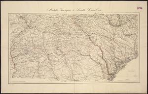
Middle Georgia & South Carolina
5.
Mississippi Territory and Georgia
6.
Georgia from the latest authorities
7.
Georgia, from the latest authorities
8.
[Middle Georgia and South Carolina]
9.
Georgia, from the latest authorities
10.
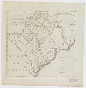
The Carolina's with part of Georgia
11.
[Chart of the coast of Georgia]
12.
[Chart of the coast of Georgia]
13.
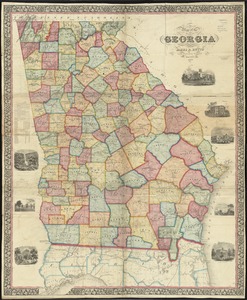
Map of the state of Georgia
14.
Map of Andersonville, Sumter Co., Georgia
15.
Northern Georgia with portions of adjacent states
16.
A chart of South Carolina and Georgia
17.
A chart of South Carolina and Georgia
18.
A chart of South Carolina and Georgia
19.
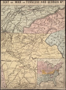
Seat of war in Tennesse and Georgia : 6D
20.
A chart of South Carolina and Georgia
‹ Prev
Next ›
1
2
3
4
5
…
7
8


![[Middle Georgia and South Carolina]](https://bpldcassets.blob.core.windows.net/derivatives/images/commonwealth:7h14b2665/image_thumbnail_300.jpg)

![[Chart of the coast of Georgia]](https://bpldcassets.blob.core.windows.net/derivatives/images/commonwealth:z603vv33t/image_thumbnail_300.jpg)
![[Chart of the coast of Georgia]](https://bpldcassets.blob.core.windows.net/derivatives/images/commonwealth:z603vv35c/image_thumbnail_300.jpg)