Toggle navigation
LMEC Home
Exhibitions
Georeferencing
Tools for Teachers
Collections
My Favorites
Sign Up / Log In
Search
Search the map portal
Map Collection
Map Collection
Map Sets
Search
Search
Search for
Search In
All Fields
Creator
Title
Subject
Place
Search All Digital Collections
Advanced Search
57 Results
My Search
Start Over
Philippines, map
Remove constraint Philippines, map
Filter your Search
Place
Asia
30
Philippines
29
Luzon
7
United States
6
North and Central America
4
Manila
3
Manila Bay
3
Caribbean Sea
2
more
Place
»
Topic
Philippines--Maps
16
Luzon (Philippines)--Maps
7
Philippines--History--Philippine American War, 1899-1902--Maps
5
United States--Maps
4
Cables, Submarine--Philippines--Maps
3
Manila (Philippines)--Maps
3
Nautical charts--Philippines
3
Philippines--Maps--Early works to 1800
3
more
Topic
»
Date
Date range begin
–
Date range end
Current results range from
1646
to
1945
View distribution
Creator
United States. Office of Strategic Services. Research and Analysis Branch
10
Andrew B. Graham Co.
4
Greely, A. W. (Adolphus Washington), 1844-1935
3
United States. Army. Signal Corps
3
United States. War Department
3
Julius Bien & Co.
2
Siebert, William L.
2
United States. Adjutant-General's Office. Military Information Division
2
more
Creator
»
Format
Maps/Atlases
57
Georeferenced
Yes
10
No
47
Collection
Norman B. Leventhal Map Center Collection
56
Maritime Charts and Atlases
6
Urban Maps
2
MacLean Collection Map Library
1
Available to use
No known restrictions
56
Search Constraints
Sort by relevance
relevance
title
date (asc)
date (desc)
Number of results to display per page
20 per page
10
per page
20
per page
50
per page
100
per page
View results as:
grid view
map view
Search Results
1.
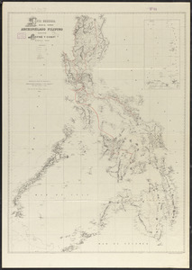
Map of Philippine Islands and adjacent seas : from material of the English and Batavian governments
2.
Philippine Islands : [outline map]
3.
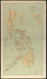
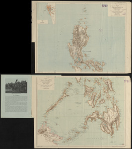
Map of the Philippine Islands and Sulu Archipelago
4.
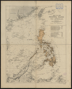
The Philippine Islands
5.
Northern Philippines land utilization
6.
Philippine Islands radio stations and cables
7.
Progress map of Signal Corps telegraph lines & cables in the military division of the Philippines : based on map of Montero y...
8.
Progress map of Signal Corps telegraph lines & cables in the military division of the Philippines : based on map of Montero y...
9.
Philippine Islands population, 1939 census
10.
Geologic reconnaissance map of Mindanao
11.
Ports in the Philippine Islands
12.
Military map of the isle of Luzon
13.
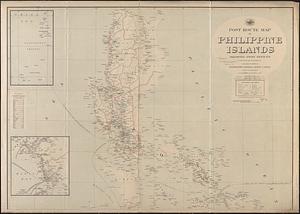
Post route map of Philippine Islands showing post offices in operation on the 1st of December, 1903
14.
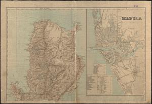
Index map, city of Manila
15.
War maps of Cuba, Porto Rico, and the Philippines
16.
Chart of the Philippine Islands, from the Spanish chart 1808 : the adjacent islands are added from the latest surveys
17.
Carta general del Archipiélago Filipino
18.
Karte der Philippinen : in zwei sectionen : nördliches und südliches blatt
19.
Map of northern Luzon
20.
Pampanga
‹ Prev
Next ›
1
2
3