Toggle navigation
LMEC Home
Exhibitions
Georeferencing
Tools for Teachers
Collections
My Favorites
Sign Up / Log In
Search
Search the map portal
Map Collection
Map Collection
Map Sets
Search
Search
Search for
Search In
All Fields
Creator
Title
Subject
Place
Search All Digital Collections
Advanced Search
6 Results
My Search
Start Over
Pakistan maps
Remove constraint Pakistan maps
Filter your Search
Place
Afghanistan
4
Pakistan
4
Iran
3
Arabian Sea
2
Arabian Peninsula
1
Asia
1
India
1
Topic
Afghanistan--Maps--Early works to 1800
3
Iran--Maps--Early works to 1800
3
Pakistan--Maps--Early works to 1800
3
Afghanistan--Maps
1
Arabian Peninsula--Maps--Early works to 1800
1
Arabian Sea--Maps
1
Arabian Sea--Maps--Early works to 1800
1
Coasts--Iran--Maps
1
more
Topic
»
Date
Date range begin
–
Date range end
Current results range from
1482
to
1953
View distribution
Creator
Ptolemy, 2nd cent
3
Hol, Lienhart
1
Ptolemy, active 2nd century
1
Stiffe, A. W.
1
United States. Hydrographic Office
1
Format
Maps/Atlases
6
Georeferenced
No
6
Collection
Norman B. Leventhal Map Center Collection
6
Maritime Charts and Atlases
1
Available to use
No known restrictions
6
Search Constraints
Sort by relevance
relevance
title
date (asc)
date (desc)
Number of results to display per page
20 per page
10
per page
20
per page
50
per page
100
per page
View results as:
grid view
map view
Search Results
1.
Pashtunistan
2.
Arabian Sea, Maskat to Karáchi
3.
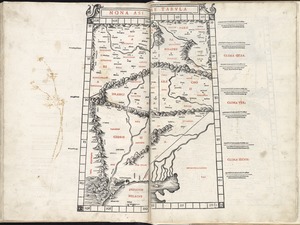
Nona Asiae tabula
4.
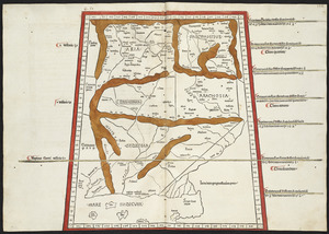
Nona Asie tabula continet Ariam & Paropanisadas & Drangianam & Arachosia & Gedrosiam
5.
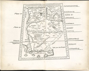
Tabula IX Asiae
6.
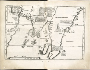
Tab. moderna Indiae