Toggle navigation
LMEC Home
Exhibitions
Georeferencing
Tools for Teachers
Collections
My Favorites
Sign Up / Log In
Search
Search the map portal
Map Collection
Map Collection
Map Sets
Search
Search
Search for
Search In
All Fields
Creator
Title
Subject
Place
Search All Digital Collections
Advanced Search
71 Results
My Search
Start Over
Netherlands, map
Remove constraint Netherlands, map
Filter your Search
Place
Europe
33
Netherlands
25
Belgium
12
North and Central America
11
Asia
7
Germany
6
Low Countries
6
New England
6
more
Place
»
Topic
Netherlands--Maps--Early works to 1800
11
Netherlands--Maps
9
Belgium--Maps
7
Benelux countries--Maps
4
Benelux countries--Maps--Early works to 1800
4
Canada--Boundaries--United States--Maps
4
Gelderland (Netherlands)--Maps--Early works to 1800
4
United States--Boundaries--Canada--Maps
4
more
Topic
»
Date
Date range begin
–
Date range end
Current results range from
1624
to
1993
View distribution
Creator
Blaeu, Willem Janszoon, 1571-1638
5
Netherlands. Topografisch Bureau
5
Wit, Frederik de.
5
Carey, Mathew, 1760-1839
4
Visscher, Nicolaes, 1649-1702
4
Bajetto, G. M. F.
3
Moll, Herman, d. 1732
3
Netherlands. Ministerie van Marine
2
more
Creator
»
Format
Maps/Atlases
71
Georeferenced
Yes
4
No
67
Collection
Norman B. Leventhal Map Center Collection
71
Mapping Boston Collection
4
American Revolutionary War-Era Maps
3
Boston and New England Maps
3
Maritime Charts and Atlases
1
Urban Maps
1
Available to use
No known restrictions
67
Creative Commons license
4
Search Constraints
Sort by relevance
relevance
title
date (asc)
date (desc)
Number of results to display per page
20 per page
10
per page
20
per page
50
per page
100
per page
View results as:
grid view
map view
Search Results
1.
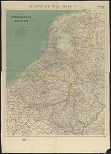
The Netherlands and Belgium
2.
A new and exact map of the United Provinces, or Netherlands &c
3.
The Austrian French and Dutch Netherlands, from the best authorities
4.
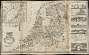
The Seven United Provinces of Netherland : with its circumjacent borders
5.
Choro-topographische kaart der Noordelijke provincien van het Koningrijk der Nederlanden
6.
[Het ko]ningrijk [d]er Nederlanden
7.
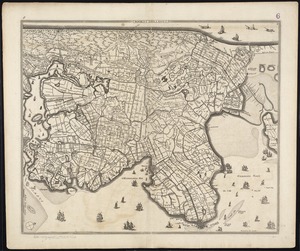
Plan de la ville d'Amsterdam
8.
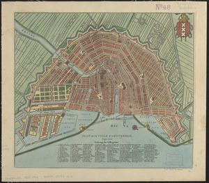
Platte grond der stad Amsterdam
9.
The Seven United Provinces of Holland, Groningen, Gelders, Friesland, Overyssel, Utrecht and Zealand : from the best authorities
10.
Hollandiae septentrionalis & Frisiae occidentalis accuratissima delineatio
11.
Noordt Hollandt
12.
Foederatae Belgicae tabula : in multis locis emendata et in lucem
13.
Hollandiae pars septentrionalis, vulgo Westuriesland et 't Noorder Quartier
14.
Rhenolandiae et Amstellandiae exactissima tabula
15.
Hollandia comitatus
16.
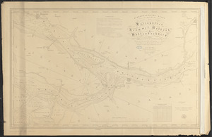
Hydrographische kaart der vaarwaters van het Haringvliet, Krammer, Volkrak & Hollandschdiep : trigonometriesch opgenomen en in...
17.
Transisalania provincia : vulgo Over-Yssel
18.
Tetrachia Ducatus Geldriae Neomagensis
19.
Holland and Belgium
20.
Les provinces des Pays-Bas Catholiques ou A most exact map of Flanders or ye Austrian Netherlands &c : it comprehends all the...
‹ Prev
Next ›
1
2
3
4


![[Het ko]ningrijk [d]er Nederlanden](https://bpldcassets.blob.core.windows.net/derivatives/images/commonwealth:0z709589n/image_thumbnail_300.jpg)