Toggle navigation
LMEC Home
Exhibitions
Georeferencing
Tools for Teachers
Collections
My Favorites
Sign Up / Log In
Search
Search the map portal
Map Collection
Map Collection
Map Sets
Search
Search
Search for
Search In
All Fields
Creator
Title
Subject
Place
Search All Digital Collections
Advanced Search
688 Results
My Search
Start Over
hill
Remove constraint hill
Filter your Search
Place
North and Central America
650
United States
604
Boston
141
Suffolk (county)
141
Middlesex (county)
65
Worcester (county)
61
Massachusetts
52
Berkshire (county)
36
more
Place
»
Topic
United States--History--Revolution, 1775-1783--Maps
30
Boston (Mass.)--History--Revolution, 1775-1783--Maps--Early works to 1800
24
Boston (Mass.)--Maps
23
Fenway (Boston, Mass.)--Maps
21
Mission Hill (Boston, Mass.)--Maps
21
City planning--Massachusetts--Boston--Maps
20
Bunker Hill, Battle of, Boston, Mass., 1775--Maps--Early works to 1800
19
Real property--Massachusetts--Boston--Maps
14
more
Topic
»
Date
Date range begin
–
Date range end
Current results range from
1610
to
2017
View distribution
Creator
Hales, John Groves
45
Boston Redevelopment Authority
22
Hills, John, (Surveyor)
22
Hills, John, active 1777-1819
13
Williams, Richard, active 1750-1776
13
George, III, King of Great Britain, 1738-1820
12
George, IV, King of Great Britain, 1762-1830
12
Page, Thomas Hyde, Sir, 1746-1821
12
more
Creator
»
Format
Maps/Atlases
668
Manuscripts
68
Drawings/Illustrations
17
Prints
3
Objects/Artifacts
2
Photographs
1
Georeferenced
Yes
25
No
663
Collection
Town plans, 1830
324
Norman B. Leventhal Map Center Collection
197
American Revolutionary War-Era Maps
169
Boston and New England Maps
131
Urban Maps
92
Library of Congress Collection
41
William L. Clements Library Collection
30
Boston Redevelopment Authority Collection
26
more
Collection
»
Available to use
No known restrictions
536
Creative Commons license
108
Search Constraints
Sort by relevance
relevance
title
date (asc)
date (desc)
Number of results to display per page
20 per page
10
per page
20
per page
50
per page
100
per page
View results as:
grid view
map view
Search Results
1.
Charlestown, Breed's Hill, and Bunker Hill
2.
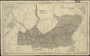
Blue Hills Reservation
3.
Blue Hills Reservation
4.
Forest Hills Cemetery : consecrated June 28th, 1848 : area 203 acres
5.
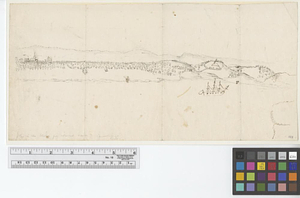
[Battle of Bunker Hill]
6.
[Bunker Hill--rough sketch]
7.
Forest Hills improvement area
8.
Corey Hill Terraces, Brookline
9.
Cambridge to Prospect Hill
10.
Sketch of Bunker Hill Battle
11.
Blue Hill Avenue commercial strip
12.
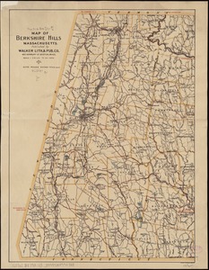
Map of the Berkshire Hills Massachusetts
13.
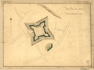
Fort on Fort Hill in Boston
14.
Back Bay and Parker Hill parks : Parker Hill and Jamaica parkways : Boston and Roxbury districts
15.
Perspective view of Bunker Hill Monument
16.
Topographical map of Blue Hills Reservation
17.
Panoramic view from Bunker Hill Monument
18.
South Bay and Savin Hill parks : Dorchester district
19.
Fort on the first hill in Dorc̃ester : Fort on the second hill in Dorc̃ester
20.
Winter sports map of the Berkshire Hills
‹ Prev
Next ›
1
2
3
4
5
…
34
35


![[Battle of Bunker Hill]](https://bpldcassets.blob.core.windows.net/derivatives/images/commonwealth:z603vj11x/image_thumbnail_300.jpg)
![[Bunker Hill--rough sketch]](https://bpldcassets.blob.core.windows.net/derivatives/images/commonwealth:z603vj151/image_thumbnail_300.jpg)