Toggle navigation
LMEC Home
Exhibitions
Georeferencing
Tools for Teachers
Collections
My Favorites
Sign Up / Log In
Search
Search the map portal
Map Collection
Map Collection
Map Sets
Search
Search
Search for
Search In
All Fields
Creator
Title
Subject
Place
Search All Digital Collections
Advanced Search
89 Results
My Search
Start Over
1915
Remove constraint 1915
Filter your Search
Place
North and Central America
30
United States
26
Europe
17
France
11
Belgium
8
Balkan Peninsula
7
Asia
6
Canada
6
more
Place
»
Topic
Europe--Maps
9
Belgium--Maps
8
France--Maps
8
World War, 1914-1918--Europe--Maps
8
World War, 1914-1918--France--Maps
7
Balkan Peninsula--Maps
6
World War, 1914-1918--Belgium--Maps
6
World War, 1914-1918--Balkan Peninsula--Maps
5
more
Topic
»
Date
Date range begin
–
Date range end
Current results range from
1830
to
1932
View distribution
Creator
Gross, Alexander, 1879-1958
28
Nares, George S. (George Strong), 1831-1915
6
United States. Hydrographic Office
6
Army Service Schools (U.S.)
4
Gillman, Henry, 1833-1915
4
U.S. Lake Survey
4
Canada. Railway Lands Branch
3
Dougal, William H., 1822-1895
3
more
Creator
»
Format
Maps/Atlases
89
Manuscripts
1
Georeferenced
Yes
17
No
72
Collection
Norman B. Leventhal Map Center Collection
87
Maritime Charts and Atlases
8
Boston and New England Maps
2
Massachusetts Real Estate Atlases
1
Town plans, 1830
1
Urban Maps
1
Available to use
No known restrictions
87
Search Constraints
Sort by relevance
relevance
title
date (asc)
date (desc)
Number of results to display per page
20 per page
10
per page
20
per page
50
per page
100
per page
View results as:
grid view
map view
Search Results
1.
Woman suffrage, 1915
2.
Map of the Boston Elevated Ry. 1915
3.
Distribution of the iron ores mined in the Lake Superior Region in the year 1902
4.
British Isles
5.
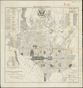
The nation's capital : [Washington D.C.]
6.
Manitoba : map showing disposition of lands
7.
Canary Islands, Tenerife, Santa Cruz
8.
Cape Verde Islands, Porto Grande in the island of St. Vincent
9.
Indian Ocean, Kerguelen Island, Royal Sound ; Royal Sound, Island Harbor
10.
Mediterranean, New Mole Harbor, Gibraltar
11.
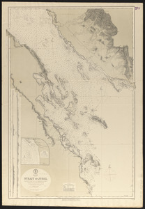
Red Sea, Strait of Jubal
12.
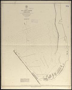
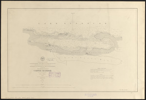
Preliminary chart of Copper Harbor
13.
Hark! Hark! The dogs do bark! : with note by Walter Emanuel = Horch! Horch! Die hunde bellen! : mit einer begleitschrift von...
14.
Boston Elevated Railway track lengths of surface lines and subway
15.
Washington and vicinity
16.
White Mountain region, New Hampshire : showing lands being acquired by the United States
17.
Indo-Chine, carte de la mission Pavie
18.
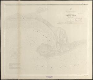
Preliminary chart of Tawas Harbor : (harbor of refuge, Lake Huron)
19.
Preliminary chart of Tawas Harbor : (harbor of refuge, Lake Huron)
20.
A chart of the Cape Verd Islands
‹ Prev
Next ›
1
2
3
4
5