Toggle navigation
LMEC Home
Exhibitions
Georeferencing
Tools for Teachers
Collections
My Favorites
Sign Up / Log In
Search
Search the map portal
Map Collection
Map Collection
Map Sets
Search
Search
Search for
Search In
All Fields
Creator
Title
Subject
Place
Search All Digital Collections
Advanced Search
83 Results
My Search
Start Over
1866
Remove constraint 1866
Filter your Search
Place
North and Central America
65
United States
51
Boston
21
Suffolk (county)
21
Europe
8
Boston Harbor
4
Central Europe
3
Massachusetts
3
more
Place
»
Topic
Boston (Mass.)--Maps
15
Real property--Massachusetts--Boston--Maps
5
Boston (Mass.)--Aerial views
3
Boston Harbor (Mass.)--Maps
3
Europe, Central--Maps
3
Harbors--Massachusetts--Boston--Maps
3
New England--Maps
3
Railroads--New England--Maps
3
more
Topic
»
Date
Date range begin
–
Date range end
Current results range from
1826
to
1898
View distribution
Creator
Hotchkiss, Jedediah, 1828-1899
4
United States Coast Survey
4
United States. Hydrographic Office
4
U.S. Lake Survey
3
Bache, A. D. (Alexander Dallas), 1806-1867
2
Boston (Mass.). Engineering Dept
2
Hayward, James, 1786-1866
2
Johnson, A. J. (Alvin Jewett), 1827-1884
2
more
Creator
»
Format
Maps/Atlases
81
Manuscripts
3
Prints
2
Georeferenced
Yes
10
No
73
Collection
Norman B. Leventhal Map Center Collection
79
Boston and New England Maps
35
Urban Maps
24
Maritime Charts and Atlases
10
Mapping Boston Collection
3
Ralph Finos Map Collection at Phillips Academy
2
Robert E. Diefenbach Map Collection at Phillips Academy
1
Town plans, 1830
1
Available to use
No known restrictions
80
Creative Commons license
3
Search Constraints
Sort by relevance
relevance
title
date (asc)
date (desc)
Number of results to display per page
20 per page
10
per page
20
per page
50
per page
100
per page
View results as:
grid view
map view
Search Results
1.
Washington Sound and approaches, Washington Territory, 1866
2.
West Indies, New Providence Island, Nassau Harbor : from British surveys in 1841, 1866 and 1881
3.
Völker und sprachen-karte von Deutschland und den nachbarländern im j. 1867
4.
Newfoundland--east coast, Conception Bay, Carbonear to Brigus Bay including Harbor Grace : from a Brit. survey in 1866,...
5.
Mediterranean, harbors on the south coast of Italy : from Italian government surveys in 1866-1874 ; republication of Brit....
6.
Japan, harbors in Kii Channel and Isumi Strait : from British surveys in 1861 with auditions in 1866-7 ; republication of Brit....
7.
Plan of real estate in Charlestown belonging to Seth Barker & others : to be sold on the premises at public auction, June 26th,...
8.
Plan of the Brooks estate corner of Court & Washington Street : to be sold at public auction, at the Merchants Exchange Reading...
9.
Stanford's military map of the seat of war
10.
Topographische kaart der residentie Japara : opgenomen ingevolge gouvernements besluit dd. 6 Julij 1866 no. 8 van November 1886...
11.
Plan de la bataille de Sadowa
12.
Map of the Valley of Mexico with a plan of the defences of the capital and the line of operations of the United States Army...
13.
Why don't you take it?
14.
Map of the Nez Perce Indian campaign Brig. Gen. O. O. Howard commanding
15.
Coast of New Jersey between Sandy Hook and Long Branch
16.
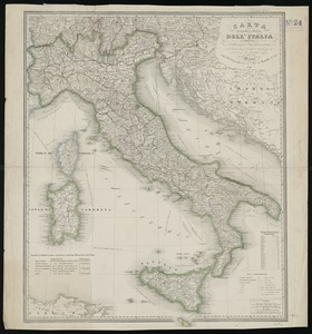
Carta geografica e postale dell' Italia ridotta dalle migliori carte fin' ora esistenti coll' indicazione di tutte le strade...
17.
Indian Territory, with part of the adjoining state of Kansas, &c
18.
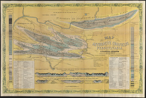
Map of the anthracite coalfields of Pennsylvania
19.
Johnson's new illustrated family atlas of the world, with physical geography, and with descriptions geographical, statistical,...
20.
Map of Madison County, Virginia : prepared under the direction of P.S. Michie
‹ Prev
Next ›
1
2
3
4
5


![Johnson's new illustrated family atlas of the world, with physical geography, and with descriptions geographical, statistical, and historical, including the latest federal census, and the existing religious denominations in the world [frontispiece]](https://bpldcassets.blob.core.windows.net/derivatives/images/commonwealth:0r96fp61c/image_thumbnail_300.jpg)
