Toggle navigation
LMEC Home
Exhibitions
Georeferencing
Tools for Teachers
Collections
My Favorites
Sign Up / Log In
Search
Search the map portal
Map Collection
Map Collection
Map Sets
Search
Search
Search for
Search In
All Fields
Creator
Title
Subject
Place
Search All Digital Collections
Advanced Search
132 Results
My Search
Start Over
1864
Remove constraint 1864
Filter your Search
Place
North and Central America
115
United States
83
Virginia
14
Suffolk (county)
9
Boston
8
Georgia
7
Massachusetts
7
Richmond
7
more
Place
»
Topic
United States--History--Civil War, 1861-1865--Maps
15
Virginia--History--Civil War, 1861-1865--Maps
10
Richmond (Va.)--History--Civil War, 1861-1865--Maps
7
Nautical charts--Superior, Lake
6
Boston (Mass.)--Maps
5
Massachusetts--Maps
5
United States--Maps
5
Alabama--Maps
4
more
Topic
»
Date
Date range begin
–
Date range end
Current results range from
1758
to
1932
View distribution
Creator
Smith, Leonard S. (Leonard Sewall), 1864-1947
8
Wisconsin Geological and Natural History Survey
8
U.S. Lake Survey
7
Graham, J. D. (James Duncan), 1799-1865
6
Michler, N. (Nathaniel), 1827-1881
6
Raynolds, W. F. (William Franklin), 1820-1894
6
Strasser, J.
6
Theilkuhl, F.
6
more
Creator
»
Format
Maps/Atlases
130
Manuscripts
3
Prints
2
Georeferenced
Yes
18
No
114
Collection
Norman B. Leventhal Map Center Collection
122
Boston and New England Maps
16
Urban Maps
14
Maritime Charts and Atlases
13
David Judkins Weaver Papers
6
Ralph Finos Map Collection at Phillips Academy
3
Massachusetts Real Estate Atlases
2
Sidney R. Knafel Map Collection at Phillips Academy
2
more
Collection
»
Available to use
No known restrictions
125
Creative Commons license
1
Search Constraints
Sort by relevance
relevance
title
date (asc)
date (desc)
Number of results to display per page
20 per page
10
per page
20
per page
50
per page
100
per page
View results as:
grid view
map view
Search Results
1.
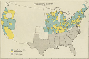
Presidential election 1864
2.
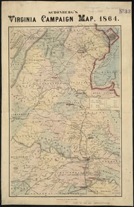
Schonberg's Virginia campaign map, 1864
3.
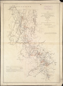
Map[s] illustrating the military operations of the Atlanta campaign ... 1864
4.
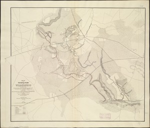
Map of the battle fields of the Wilderness May 5th, 6th, and 7th, 1864 : showing the field of operations of the Army of the...
5.
Central Virginia showing Lieut. Gen'l. U.S. Grant's Campaign and marches of the armies under his command in 1864-65
6.
Map of the country in the vicinity of Todds Tavern, with the position of the 2nd Corps Army of the Potomac, May 8th, 1864
7.
Lloyd's new map of the United States, the Canadas, and New Brunswick, from the latest surveys showing every railroad & station...
8.
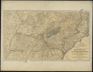
Military map showing the marches of the United States forces under command of Maj. Genl. W.T. Sherman, U.S.A., during the years...
9.
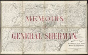
Military map showing the marches of the United States forces under command of Maj. Genl. W.T. Sherman, U.S.A. during the years...
10.
Plan for the diversion and enclosure of Stony Brook : to accompany report of W.H. Bradley, November 1864
11.
Map illustrating the defence [sic] of Savannah, Ga. and the operations resulting in its capture by the army commanded by Maj....
12.
Map showing the operations of the national forces under the command of Maj. Gen. W.T. Sherman during the campaign resulting in...
13.
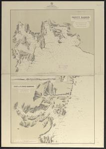
Newfoundland, east coast, harbors in Trinity Bay : from British surveys in 1864 & 1865, corrected to 1874
14.
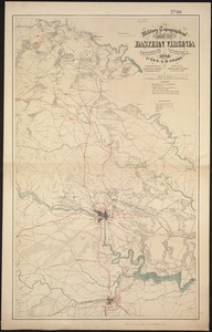
Military topographical map of eastern Virginia showing the routes taken by the several army corps & the battles fought in the...
15.
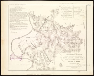
Battlefields in front of Nashville where the United States forces commanded by Major General Geo. H. Thomas defeated and routed...
16.
Map illustrating the siege of Atlanta, Ga. by the U.S. forces, under command of Maj. Gen. W.T. Sherman : from the passage of...
17.
Map illustrating the military operations in front of Atlanta, Ga : from the passage of Peach Tree Creek, July 19th, 1864, to...
18.
What the administration has done : map showing the progress of the national armies during the years 1861, 1862, 1863, and 1864
19.
Arctic Sea, Spitzbergen : from the Swedish survey of 1861 to 1864, corrected from the German & Norwegian explorations to 1872
20.
East India Archipelago, Singapore roads : from British surveys in 1864 : republication of Brit. Admty. chart no. 1995, with...
‹ Prev
Next ›
1
2
3
4
5
6
7
![Map[s] illustrating the military operations of the Atlanta campaign ... 1864](https://bpldcassets.blob.core.windows.net/derivatives/images/commonwealth:3f463432v/image_thumbnail_300.jpg)


![Map illustrating the defence [sic] of Savannah, Ga. and the operations resulting in its capture by the army commanded by Maj. Genl. W.T. Sherman, Dec. 21st, 1864](https://bpldcassets.blob.core.windows.net/derivatives/images/commonwealth:4m90f544n/image_thumbnail_300.jpg)