Toggle navigation
LMEC Home
Exhibitions
Georeferencing
Tools for Teachers
Collections
My Favorites
Sign Up / Log In
Search
Search the map portal
Map Collection
Map Collection
Map Sets
Search
Search
Search for
Search In
All Fields
Creator
Title
Subject
Place
Search All Digital Collections
Advanced Search
594 Results
My Search
Start Over
Date
1850
to
1859
Remove constraint Date: <span class='from'>1850</span> to <span class='to'>1859</span>
Filter your Search
Place
North and Central America
440
United States
384
Suffolk (county)
90
Boston
85
Europe
54
Middlesex (county)
34
New York
26
Asia
23
more
Place
»
Topic
Boston (Mass.)--Maps
60
Real property--Massachusetts--Boston--Maps
28
United States--Maps
17
Landowners--Massachusetts--Boston--Maps
15
New England--Maps
12
Railroads--New England--Maps
11
Boston Harbor (Mass.)--Maps
10
Massachusetts--Maps
10
more
Topic
»
Date
1850
to
1859
[remove]
594
Date range begin
–
Date range end
Current results range from
1770
to
1990
1850
to
1850
152
1851
to
1851
139
1852
to
1852
140
1853
to
1853
145
1854
to
1854
144
1855
to
1855
159
1856
to
1856
154
1857
to
1857
145
1858
to
1858
149
1859
to
1859
126
Creator
Walling, Henry Francis, 1825-1888
66
U.S. Lake Survey
13
Boynton, George W., d. 1884
10
Bradshaw, George, 1801-1853
10
United States Coast Survey
10
Dougal, William H., 1822-1895
9
Macomb, J. N. (John N.), 1810 or 1811-1889
9
Smith, George Girdler, 1795-1878
7
more
Creator
»
Format
Maps/Atlases
590
Manuscripts
35
Prints
4
Georeferenced
Yes
63
No
531
Collection
Norman B. Leventhal Map Center Collection
557
Boston and New England Maps
259
Urban Maps
222
Maritime Charts and Atlases
39
American Revolutionary War-Era Maps
14
MacLean Collection Map Library
10
Robert E. Diefenbach Map Collection at Phillips Academy
6
Library of Congress Collection
5
more
Collection
»
Available to use
No known restrictions
563
Creative Commons license
10
Search Constraints
Sort by relevance
relevance
title
date (asc)
date (desc)
Number of results to display per page
20 per page
10
per page
20
per page
50
per page
100
per page
View results as:
grid view
map view
Search Results
1.
1. Prise de Newport par d'Estaing, 1778 : 2. Embossage de Ternay à Newport, 1780
2.
Aboriginal map of North America, denoting the boundaries and the locations of various Indian tribes
3.
Afrika
4.
Afrique
5.
Aleutian Archipelago
6.
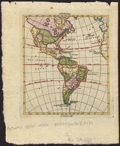
America settle
7.
Amerika
8.
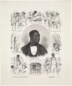
Anthony Burns
9.
An astronomical chart or diagram, in which the structure of the solar system is exhibited at one view
10.
Die aufnahmen der Engländer, Franzosen und Russen in hinter-Asien bis zum jahre 1858
11.
The battle-field of the nations : a panoramic view of the seat of war in the Danubian provinces, Turkey, Asia Minor, Southern...
12.
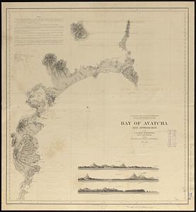
Bay of Avatcha and approaches
13.
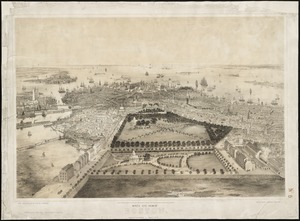
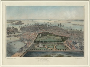
Bird's eye view of Boston
14.
Bird's eye view of Boston
15.
Bird's-eye view of New York City
16.
Bloomingville, [Ohio]
17.
Boston
18.
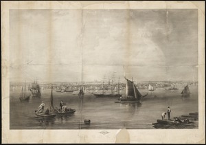
Boston Harbor
19.
Boston Harbour : from the survey of A.S. Wadsworth Esq. U.S.N. and the chart of Des Barres
20.
[Boston wharves, from Long Wharf]
‹ Prev
Next ›
1
2
3
4
5
…
29
30


![Bloomingville, [Ohio]](https://bpldcassets.blob.core.windows.net/derivatives/images/commonwealth:1v53jx86m/image_thumbnail_300.jpg)


![[Boston wharves, from Long Wharf]](https://bpldcassets.blob.core.windows.net/derivatives/images/commonwealth:9s161966z/image_thumbnail_300.jpg)