Toggle navigation
LMEC Home
Exhibitions
Georeferencing
Tools for Teachers
Collections
My Favorites
Sign Up / Log In
Search
Search the map portal
Map Collection
Map Collection
Map Sets
Search
Search
Search for
Search In
All Fields
Creator
Title
Subject
Place
Search All Digital Collections
Advanced Search
26 Results
My Search
Start Over
"G1005 .P7 1511"
Remove constraint "G1005 .P7 1511"
Filter your Search
Place
Asia
3
Europe
3
North Africa
3
Balkan Peninsula
2
Greece
2
India
2
Iran
2
Kyrgyzstan
2
more
Place
»
Topic
Africa, North--Maps--Early works to 1800
3
Balkan Peninsula--Maps--Early works to 1800
2
Greece--Maps--Early works to 1800
2
India--Maps--Early works to 1800
2
Iran--Maps--Early works to 1800
2
Kyrgyzstan--Maps--Early works to 1800
2
Tajikistan--Maps--Early works to 1800
2
Ukraine--Maps--Early works to 1800
2
more
Topic
»
Date
1511
26
Creator
Ptolemy, 2nd cent
24
Ptolemy, active 2nd century
1
Silvani, Bernardo
1
Silvani, Bernardo.
1
Format
Maps/Atlases
26
Georeferenced
No
26
Collection
Norman B. Leventhal Map Center Collection
26
Available to use
No known restrictions
26
Search Constraints
Sort by date (asc)
relevance
title
date (asc)
date (desc)
Number of results to display per page
20 per page
10
per page
20
per page
50
per page
100
per page
View results as:
grid view
map view
Search Results
1.
Decima Asiae tabula
2.
Decima et ultima Europae tabula
3.
Duodecima Asiae tabula
4.
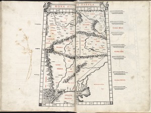
Nona Asiae tabula
5.
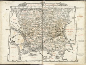
Nona Europae tabula
6.
Octava Asiae tabula
7.
Octava Europae tabula
8.
Prima Africae tabula
9.
Prima Europae tabula
10.
Quarta Africae tabula
11.
Quarta Asiae tabula
12.
Quarta Europae tabula
13.
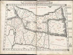
Quinta Asiae tabula
14.
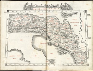
Quinta Europae tabula
15.
Secunda Africae tabula
16.
Secunda Asiae tabula
17.
Secunda Europae tabula
18.
Septima Asiae tabula
19.
Septima Europae tabula
20.
Sexta Asiae tabula
‹ Prev
Next ›
1
2