Toggle navigation
LMEC Home
Exhibitions
Georeferencing
Tools for Teachers
Collections
My Favorites
Sign Up / Log In
Search
Search the map portal
Map Collection
Map Collection
Map Sets
Search
Search
Search for
Search In
All Fields
Creator
Title
Subject
Place
Search All Digital Collections
Advanced Search
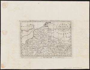
452 Results
My Search
Start Over
g1015
Remove constraint g1015
Filter your Search
Place
Europe
217
North and Central America
46
England
45
France
35
South America
27
Asia
26
United States
26
Germany
23
more
Place
»
Topic
Germany--Maps--Early works to 1800
14
Netherlands--Maps--Early works to 1800
10
England--Maps--Early works to 1800
9
North Rhine-Westphalia (Germany)--Maps--Early works to 1800
9
Rhineland-Palatinate (Germany)--Maps--Early works to 1800
8
South America--Maps--Early works to 1800
8
America--Maps--Early works to 1800
7
North America--Maps--Early works to 1800
7
more
Topic
»
Date
Date range begin
–
Date range end
Current results range from
1584
to
1800
View distribution
Creator
Jansson, Jan, 1588-1664
59
Wit, Frederik de.
58
Carey, Mathew, 1760-1839
49
Blaeu, Willem Janszoon, 1571-1638
46
Blaeu, Joan, 1596-1673
33
Moll, Herman, d. 1732
31
Visscher, Nicolaes, 1649-1702
26
Lea, Philip, fl. 1683-1700
24
more
Creator
»
Format
Maps/Atlases
452
Manuscripts
4
Georeferenced
Yes
27
No
425
Collection
Norman B. Leventhal Map Center Collection
452
American Revolutionary War-Era Maps
16
Boston and New England Maps
6
Maritime Charts and Atlases
5
Available to use
No known restrictions
452
Search Constraints
Sort by date (desc)
relevance
title
date (asc)
date (desc)
Number of results to display per page
50 per page
10
per page
20
per page
50
per page
100
per page
View results as:
grid view
map view
Search Results
1.
An accurate map of England and Wales with the principal roads from the best authorities
2.
An accurate map of Europe from the best authorities
3.
An accurate map of Hindostan or India, from the best authorities
4.
Africa according to the best authorities
5.
Asia, according to the best authorities
6.
The Austrian French and Dutch Netherlands, from the best authorities
7.
The British possessions in North America from the best authorities
8.
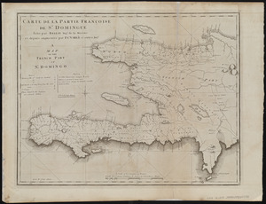
Carte de la partie Françoise de St. Domingue = A map of the French part of St. Domingo
9.
A chart of the West Indies, from the latest marine journals and surveys
10.
A chart of the world, according to Mercators projection, shewing the latest discoveries of Capt. Cook
11.
China, divided into it's great provinces according to the best authorities
12.
Connecticut from the best authorities
13.
Delaware, from the best authorities
14.
The empire of Germany with the 13 cantons of Switzerland from the best authorities
15.
France divided into circles and departments
16.
Georgia, from the latest authorities
17.
Italy, and Sardinia, from the best authorities
18.
Kentucky, reduced from Elihu Barker's large map
19.
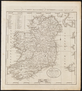
A map of Ireland according to the best authorities
20.
A map of part of the N:W: Territory of the United States : compiled from actual surveys, and the best information
21.
A map of South America according to the best authorities
22.
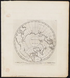
A map of the countries situate about the North Pole as far as the 50th. degree of north latitude
23.
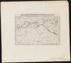
A map of the discoveries made by Capts. Cook & Clerke in the years 1778 & 1779 between the eastern coast of Asia and the...
24.
A map of the seat of war in France, with the country divided into its several departments
25.
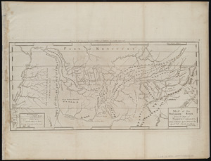
A map of the Tennassee state formerly part of North Carolina taken chiefly from surveys by Genl. D. Smith & others
26.
A map of the United States : compiled chiefly from the state maps, and other authentic information
27.
A map of the world from the best authorities
28.
A map of those countries in which the apostles travelled : in propagating Christianity
29.
Plat of the seven ranges of townships being part of the territory of the United States n.w. of the Ohio River which by a late...
30.
Poland, shewing the claims of Russia, Prussia & Austria, until the late depredations, the extent of which cannot as yet be...
31.
The province of Maine, from the best authorities
32.
The Russian Empire, in Europe and Asia
33.
Scotland with the principal roads from the best authorities
34.
The Seven United Provinces of Holland, Groningen, Gelders, Friesland, Overyssel, Utrecht and Zealand : from the best authorities
35.
Spain and Portugal, from the best authorities
36.
The state of Maryland, from the best authorities
37.
The state of Massachusetts : compiled from the best authorities
38.
The state of New Hampshire : compiled chiefly from actual surveys
39.
The state of New Jersey, compiled from the most authentic information
40.
The state of New York, compiled from the best authorities
41.
The state of North Carolina from the best authorities, &c
42.
The state of Pennsylvania : reduced with permission from Reading Howells map
43.
The state of Rhode Island : compiled from the surveys and observations of Caleb Harris
44.
The state of South Carolina : from the best authorities
45.
The state of Virginia from the best authorities
46.
Sweden, Denmark, Norway and Finland : from the best authorities
47.
Switzerland according to the best authorities
48.
Turkey, in Europe and Hungary : from the best authorities
49.
Vermont from actual survey
50.
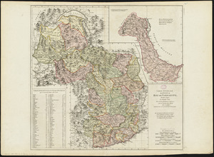
Carte générale des états du Roi de Sardaigne, reduite d'après la grande carte : pour trouver facilement ce qu'on a envie de...
‹ Prev
Next ›
1
2
3
4
5
…
9
10