Toggle navigation
LMEC Home
Exhibitions
Georeferencing
Tools for Teachers
Collections
My Favorites
Sign Up / Log In
Search
Search the map portal
Map Collection
Map Collection
Map Sets
Search
Search
Search for
Search In
All Fields
Creator
Title
Subject
Place
Search All Digital Collections
Advanced Search
102 Results
My Search
Start Over
Brookline
Remove constraint Brookline
Filter your Search
Place
North and Central America
102
United States
101
Boston
49
Suffolk (county)
49
Norfolk (county)
44
Brookline
43
Middlesex (county)
12
Cambridge
8
more
Place
»
Topic
Brookline (Mass.)--Maps
38
Real property--Massachusetts--Brookline--Maps
26
Boston (Mass.)--Maps
23
Landowners--Massachusetts--Brookline--Maps
22
Buildings--Massachusetts--Brookline--Maps
9
City planning--Massachusetts--Boston--Maps
9
Fenway (Boston, Mass.)--Maps
8
Cambridge (Mass.)--Maps
7
more
Topic
»
Date
Date range begin
–
Date range end
Current results range from
1775
to
1990
View distribution
Creator
Bromley, George Washington
14
Bromley, Walter Scott
14
G.W. Bromley & Co.
14
Sampson, Murdock & Co
9
Sampson, Davenport & Co
6
Olmsted, Frederick Law, 1822-1903
5
Massachusetts. Department of Environmental Management
4
Olmsted Historic Landscape Preservation Program (Mass.)
4
more
Creator
»
Format
Maps/Atlases
101
Manuscripts
1
Photographs
1
Georeferenced
Yes
6
No
96
Collection
Norman B. Leventhal Map Center Collection
84
Boston and New England Maps
83
Urban Maps
74
Boston Redevelopment Authority Collection
9
Massachusetts Real Estate Atlases
9
American Revolutionary War-Era Maps
5
Mapping Boston Collection
2
Campus Maps from Phillips Academy Archives and Special Collections
1
more
Collection
»
Available to use
No known restrictions
87
Creative Commons license
4
Search Constraints
Sort by date (desc)
relevance
title
date (asc)
date (desc)
Number of results to display per page
50 per page
10
per page
20
per page
50
per page
100
per page
View results as:
grid view
map view
Search Results
1.
Boston's bikemap : Arlington, Belmont, Brookline, Cambridge, Chelsea, Everett, Lexington, Malden, Medford, Needham, Newton,...
2.
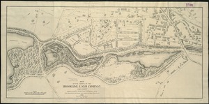
Sears Park conceptual site plan with historic waterway
3.
FPIR/FEIR Olmsted Plaza : a redevelopment of the Sears property, 309 Park Drive/201 Brookline Avenue in the Fenway
4.
Back Bay Fens master plan
5.
Jamaica Pond master plan
6.
Olmsted Park master plan
7.
The Riverway master plan
8.
Water distribution system map, Boston proper, sheet no. 22h
9.
Water system map, Boston proper, sheet no. 22h
10.
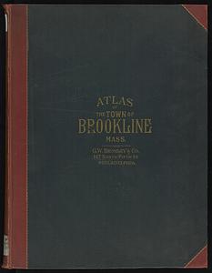
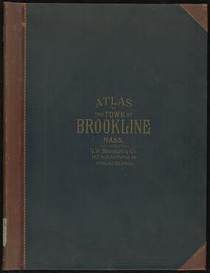
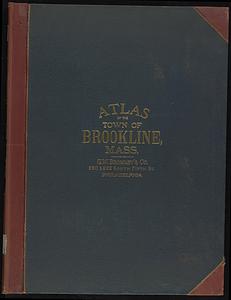
Atlas of the town of Brookline 1972
11.
Atlas of the town of Brookline 1969
12.
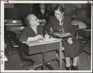
Age is no bar to studying for American citizenship
13.
Town of Brookline, Mass. assessors' plans 1944
14.
Town of Brookline Mass. Assessors' plans 1943
15.
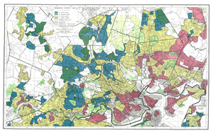
Residential security map of Boston, Mass.
16.
Town of Brookline, Mass. assessors' plans 1930
17.
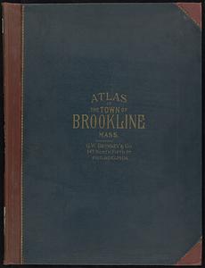
Atlas of the town of Brookline, Norfolk County, Massachusetts : from actual surveys and official plans
18.
Atlas of the town of Brookline, Norfolk County, Massachusetts
19.
Atlas of the town of Brookline, Norfolk County, Massachusetts : from actual surveys and official plans
20.
Atlas of the town of Brookline, Norfolk County, Massachusetts
21.
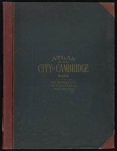
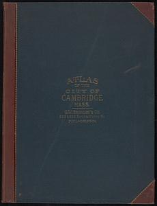
Atlas of the city of Cambridge, Massachusetts
22.
Atlas of the town of Brookline, Norfolk County, Massachusetts : from actual surveys and official plans
23.
Atlas of the town of Brookline, Norfolk County, Massachusetts
24.
Topographical map of Cedar Square, Roxbury
25.
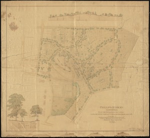
Phillips Academy, Andover, Mass. : plan for development of lands lying between Bartlett, Morton and Highland Sts.
26.
Atlas of the town of Brookline, Norfolk County, Massachusetts : from actual surveys and official plans
27.
Map of Brookline and vicinity
28.
Atlas of the city of Cambridge, Massachusetts
29.
Atlas of the town of Brookline, Norfolk County, Massachusetts : from actual surveys and official plans
30.
Atlas of the town of Brookline, Norfolk County, Massachusetts
31.
Trees in Brookline, Massachusetts
32.
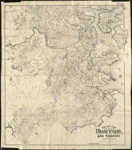
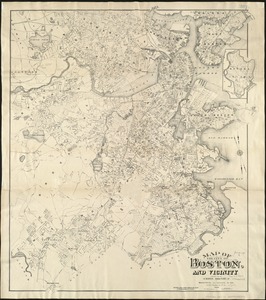
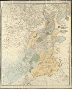
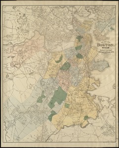
Map of the city of Boston and vicinity
33.
Map of the city of Boston and vicinity
34.
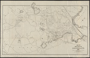
The town of Brookline : 1896
35.
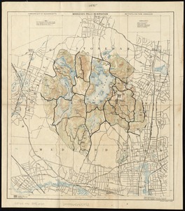
Middlesex Fells Reservation
36.
Official map of Boston
37.
Topographical map of Middlesex Fells Reservation
38.
Atlas of the city of Cambridge, Massachusetts
39.
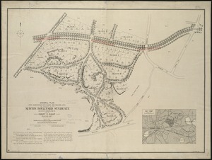
General plan for subdividing into roads and building lots, the property of the Newton Boulevard Syndicate, blocks 1, 2, 3, 4,...
40.
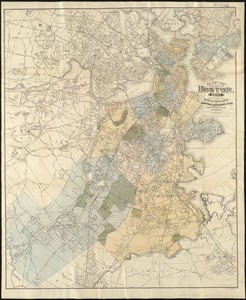
Map of the city of Boston, for 1894
41.
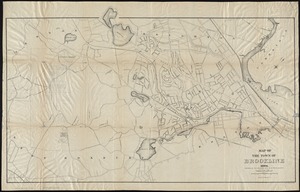
Map of the town of Brookline : 1894
42.
Atlas of the town of Brookline, Massachusetts : from official records, private plans and actual surveys
43.
Atlas of the town of Brookline, Norfolk County, Massachusetts : from actual surveys and official plans
44.
Map of the city of Boston, for 1893
45.
Map of the town of Brookline : 1893
46.
Map of the city of Boston, for 1892
47.
Map of the estate of the Brookline Land Company and vicinity : showing especially the relation of this property to the park...
48.
Corey Hill Terraces, Brookline
49.
Jamaica Plain, Massachusetts : Ward 23, City of Boston, 1891
50.
Map of the city of Boston, for 1891
‹ Prev
Next ›
1
2
3