Search Constraints
Search Results


17. Connecticut


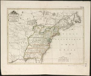
19. États Unis


56. Massachusetts


62. New Hampshire


71. State of Maine


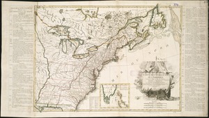
74. United States

75. United States

76. United States

77. United States


![[United States]](https://bpldcassets.blob.core.windows.net/derivatives/images/commonwealth:7h149x55n/image_thumbnail_300.jpg)
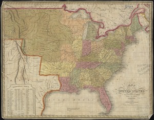
80. [United States]

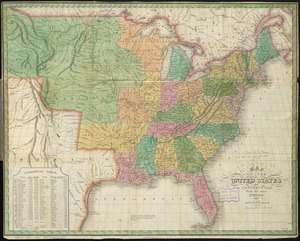
81. United States


83. United States


