Toggle navigation
LMEC Home
Exhibitions
Georeferencing
Tools for Teachers
Collections
My Favorites
Sign Up / Log In
Search
Search the map portal
Map Collection
Map Collection
Map Sets
Search
Search
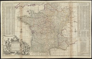
Search for
Search In
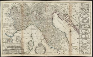
All Fields
Creator
Title
Subject
Place
Search All Digital Collections
Advanced Search
452 Results
My Search
Start Over
g1015
Remove constraint g1015
Filter your Search
Place
Europe
217
North and Central America
46
England
45
France
35
South America
27
Asia
26
United States
26
Germany
23
more
Place
»
Topic
Germany--Maps--Early works to 1800
14
Netherlands--Maps--Early works to 1800
10
England--Maps--Early works to 1800
9
North Rhine-Westphalia (Germany)--Maps--Early works to 1800
9
Rhineland-Palatinate (Germany)--Maps--Early works to 1800
8
South America--Maps--Early works to 1800
8
America--Maps--Early works to 1800
7
North America--Maps--Early works to 1800
7
more
Topic
»
Date
Date range begin
–
Date range end
Current results range from
1584
to
1800
View distribution
Creator
Jansson, Jan, 1588-1664
59
Wit, Frederik de.
58
Carey, Mathew, 1760-1839
49
Blaeu, Willem Janszoon, 1571-1638
46
Blaeu, Joan, 1596-1673
33
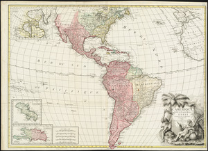
Moll, Herman, d. 1732
31
Visscher, Nicolaes, 1649-1702
26
Lea, Philip, fl. 1683-1700
24
more
Creator
»
Format
Maps/Atlases
452
Manuscripts
4
Georeferenced
Yes
27
No
425
Collection
Norman B. Leventhal Map Center Collection
452
American Revolutionary War-Era Maps
16
Boston and New England Maps
6
Maritime Charts and Atlases
5
Available to use
No known restrictions
452
Search Constraints
Sort by date (desc)
relevance
title
date (asc)
date (desc)
Number of results to display per page
100 per page
10
per page
20
per page
50
per page
100
per page
View results as:
grid view
map view
Search Results
1.
An accurate map of England and Wales with the principal roads from the best authorities
2.
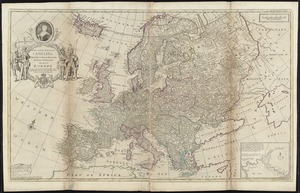
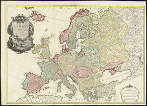
An accurate map of Europe from the best authorities
3.
An accurate map of Hindostan or India, from the best authorities
4.
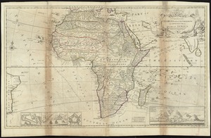
Africa according to the best authorities
5.
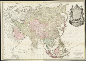
Asia, according to the best authorities
6.
The Austrian French and Dutch Netherlands, from the best authorities
7.
The British possessions in North America from the best authorities
8.
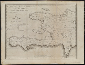
Carte de la partie Françoise de St. Domingue = A map of the French part of St. Domingo
9.
A chart of the West Indies, from the latest marine journals and surveys
10.
A chart of the world, according to Mercators projection, shewing the latest discoveries of Capt. Cook
11.
China, divided into it's great provinces according to the best authorities
12.
Connecticut from the best authorities
13.
Delaware, from the best authorities
14.
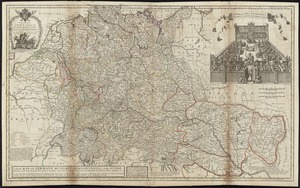
The empire of Germany with the 13 cantons of Switzerland from the best authorities
15.
France divided into circles and departments
16.
Georgia, from the latest authorities
17.
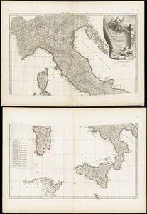
Italy, and Sardinia, from the best authorities
18.
Kentucky, reduced from Elihu Barker's large map
19.
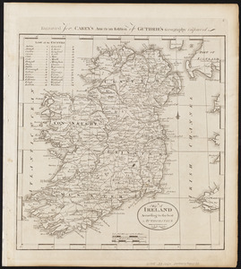
A map of Ireland according to the best authorities
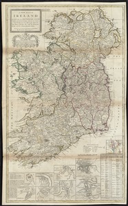
20.
A map of part of the N:W: Territory of the United States : compiled from actual surveys, and the best information
21.
A map of South America according to the best authorities
22.
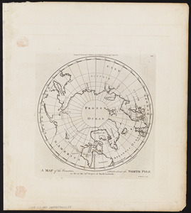
A map of the countries situate about the North Pole as far as the 50th. degree of north latitude
23.
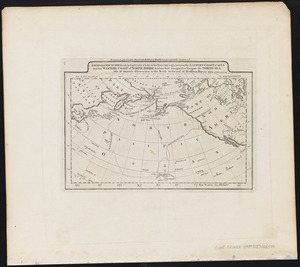
A map of the discoveries made by Capts. Cook & Clerke in the years 1778 & 1779 between the eastern coast of Asia and the...
24.
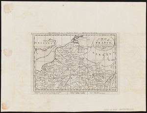
A map of the seat of war in France, with the country divided into its several departments
25.
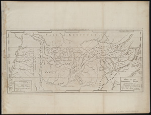
A map of the Tennassee state formerly part of North Carolina taken chiefly from surveys by Genl. D. Smith & others
26.
A map of the United States : compiled chiefly from the state maps, and other authentic information
27.
A map of the world from the best authorities
28.
A map of those countries in which the apostles travelled : in propagating Christianity
29.
Plat of the seven ranges of townships being part of the territory of the United States n.w. of the Ohio River which by a late...
30.
Poland, shewing the claims of Russia, Prussia & Austria, until the late depredations, the extent of which cannot as yet be...
31.
The province of Maine, from the best authorities
32.
The Russian Empire, in Europe and Asia
33.
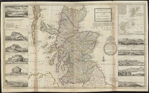
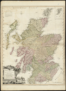
Scotland with the principal roads from the best authorities
34.
The Seven United Provinces of Holland, Groningen, Gelders, Friesland, Overyssel, Utrecht and Zealand : from the best authorities
35.
Spain and Portugal, from the best authorities
36.
The state of Maryland, from the best authorities
37.
The state of Massachusetts : compiled from the best authorities
38.
The state of New Hampshire : compiled chiefly from actual surveys
39.
The state of New Jersey, compiled from the most authentic information
40.
The state of New York, compiled from the best authorities
41.
The state of North Carolina from the best authorities, &c
42.
The state of Pennsylvania : reduced with permission from Reading Howells map
43.
The state of Rhode Island : compiled from the surveys and observations of Caleb Harris
44.
The state of South Carolina : from the best authorities
45.
The state of Virginia from the best authorities
46.
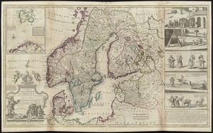
Sweden, Denmark, Norway and Finland : from the best authorities
47.
Switzerland according to the best authorities
48.
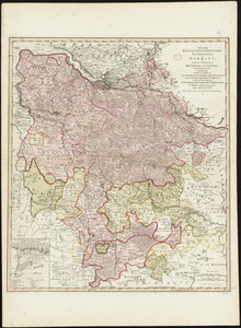
Turkey, in Europe and Hungary : from the best authorities
49.
Vermont from actual survey
50.
Carte générale des états du Roi de Sardaigne, reduite d'après la grande carte : pour trouver facilement ce qu'on a envie de...
51.
To his excellency the Count of Czernichew, Commander in Chief of her Majesty the Empress, of all the Russia's fleet and...
52.
The United States of North America : with the British & Spanish territories according to the treaty
53.
The Dutch colony of the Cape of Good Hope
54.
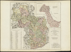
Hindoostan
55.
A map of the King of Great Britains dominions in Germany, or, the Electorate of Brunswick-Luneburg, with its dependencies :...
56.
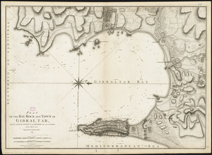
Plan of the bay, rock and town of Gibraltar, from an actual survey by an officer who was at Gibraltar from 1769 to 1775
57.
A chart of the British Channel and the Bay of Biscay, with a part of the North Sea, and the entrance of St. George's Channel
58.
L'Amérique divisée en ses principaux états
59.
Carte de l'Asie divisée en ses principaux etats
60.
Carte de l'Europe divisée en ses principaux états
61.
L'Afrique divisée en ses principaux états
62.
North Britain or Scotland divided into its counties : corrected from the best surveys & astronomical observations
63.
Nouvelle carte de la Suisse dans laquelle sont exactement distingués les treize cantons, leurs alliés, et leurs sujets :...
64.
A new map of Ireland divided into provinces, counties, &c
65.
South Britain or England & Wales : drawn from several surveys &c. on the new projection ; corrected from astronomical...
66.
A chart of the world upon Mercator's projection : describing the tracks of Capt. Cook in the year 1768, 69, 70, 71, and in...
67.
Map of the Empire of Germany : including all the states comprehended under that name : with the Kingdom of Prussia, &c
68.
The Catholic Netherlands, divided into their several provinces with the roads
69.
The kingdom of Poland and Great Dutchy of Lithuania with all their divisions
70.
The kingdoms of Spain and Portugal, divided into their great provinces
71.
The seven United Provinces, with their roads and divisions
72.
A new and correct map of the coast of Africa, from Sta. Cruz lat. 30 north. to the coast of Angola lat 11. S. with explanatory...
73.
A new chart of the vast Atlantic or Western Ocean including the sea coast of Europe, Africa, America, and the West India...
74.
La France divisée par généralités
75.
Egypte nommée dans le pays Missir
76.
Turquie d'Europe
77.
Le Royaume de Hongrie, divisé en Haute et Basse Hongrie, Transilvanie, Esclavonie et Croatie
78.
A new and exact map of the dominions of the King of Great Britain on ye continent of North America : containing Newfoundland,...
79.
Constantinople, or Stambol
80.
A new and exact map of France divided into all its provinces and acquisitions, according to the newest observations, and that...
81.
A new map of the upper part of Italy containing ye principality of Piemont ye Dutchies of Savoy, Milan, Parma, Mantua, Modena,...
82.
Les provinces des Pays-Bas Catholiques ou A most exact map of Flanders or ye Austrian Netherlands &c : it comprehends all the...
83.
The Turkish Empire in Europe, Asia and Africa, dividid into all its governments, together with the other territories that are...
84.
A new map of Denmark and Sweden : according to ye newest and most exact observations
85.
A new map of Germany, Hungary, Transilvania & the Suisse cantons : with many remarks not extant in any map
86.
A new map of Ireland divided into its provinces, counties and baronies, wherein are distinguished the bishopricks, borroughs,...
87.
Royaume de Danemarck : qui comprend le Nort-Jutland divisé en ses quatre dioceses, le Sud-Jutland divisé en ses deux duchés...
88.
The south part of Great Britain, called England and Wales
89.
To the Right Honourable Charles, Earl of Peterborow, and Monmouth, &c. this map of Africa, according to ye newest and most...
90.
Amérique méridionale : publiée sous les auspices de Monseigneur le Duc d'Orleans prémier prince du Sang
91.
L'Italie : publiée sous les auspices de Monseigneur le Duc d'Orleans, Prémier Prince du Sang
92.
A new & exact map of the electorate of Brunswick-Lunenburg and ye rest of ye Kings dominions in Germany : very much improved by...
93.
A new and exact map of Spain & Portugal divided into its kingdoms and principalities &c with ye principal roads and...
94.
Nobmo. prudmoq[ue] viro Joanni Six Wimnae Toparchae, Vronmadae Domino, Consuli et Senatori Amstelaedamensi, hanc novissimam...
95.
The north part of Great Britain called Scotland : with considerable inprovements [sic] and many remarks not extant in any map,...
96.
To Her most Sacred Majesty Carolina Queen of Great Britain, France & Ireland, this map of Europe, according to the newest and...
97.
To His Most Serene and August Majesty Peter Alexovitz absolute lord of Russia &c. this map of Moscovy, Poland, Little Tartary,...
98.
Steden Wyser synde een perfecte en klare aenwysinge ... Leggen = L'echelle des villes montrant la distance ... l'autre
99.
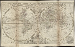
A new and correct map of the world, laid down according to the newest discoveries, and from the most exact observations
100.
The seat of war on the Rhine being a new map of the course of that river from Basil to Bonn with the adjacent countries
‹ Prev
Next ›
1
2
3
4
5


![Nobmo. prudmoq[ue] viro Joanni Six Wimnae Toparchae, Vronmadae Domino, Consuli et Senatori Amstelaedamensi, hanc novissimam Britanniae, olim Armoricae tabulam](https://bpldcassets.blob.core.windows.net/derivatives/images/commonwealth:cj82ks229/image_thumbnail_300.jpg)