Search Constraints
Search Results


![[Plan of the State House grounds and the adjacent district]](https://bpldcassets.blob.core.windows.net/derivatives/images/commonwealth:js956k629/image_thumbnail_300.jpg)


12. Boston

13. Boston

14. Boston

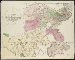
15. Boston

16. Boston, 1838


23. Boston II


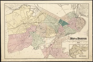
30. City of Boston


![[Map of a part of Boston]](https://bpldcassets.blob.core.windows.net/derivatives/images/commonwealth:9s161h10b/image_thumbnail_300.jpg)
![[Map of a part of Boston]](https://bpldcassets.blob.core.windows.net/derivatives/images/commonwealth:9s161j60r/image_thumbnail_300.jpg)

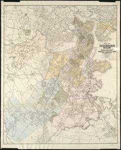
41. Map of Boston


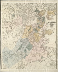
43. Map of Boston

44. Map of Boston

45. Map of Boston


48. Map of Boston


![[Map of Boston and vicinity, for the use of guests]](https://bpldcassets.blob.core.windows.net/derivatives/images/commonwealth:9s161d25b/image_thumbnail_300.jpg)


![[Map of the city of Boston]](https://bpldcassets.blob.core.windows.net/derivatives/images/commonwealth:x059cc29t/image_thumbnail_300.jpg)