Search Constraints
Search Results


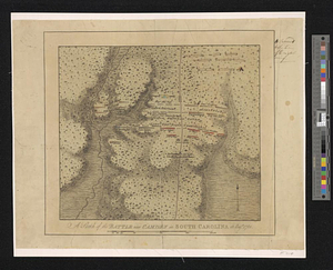
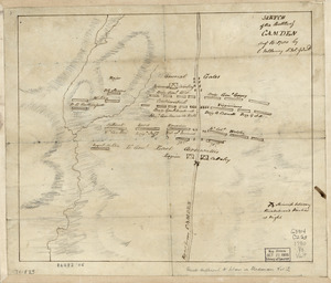
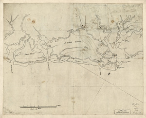
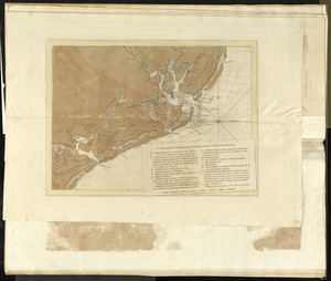
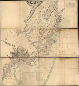
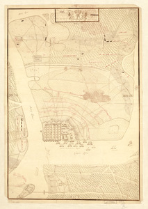
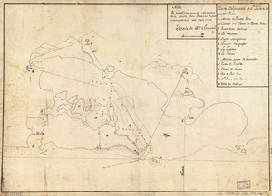
9614. North America


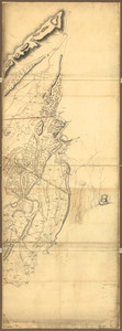
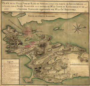
![[Panoramic view of Newport, Rhode Island and the harbor showing the position of the French fleet and troop encampments]](https://bpldcassets.blob.core.windows.net/derivatives/images/commonwealth:dz010v493/image_thumbnail_300.jpg)

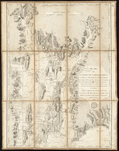
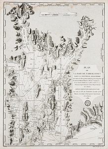
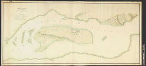
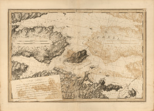
![Partie occidentale du Canada contenant les cinqs grands lac [sic], avec les pays criconvoisins [sic]](https://bpldcassets.blob.core.windows.net/derivatives/metadata/commonwealth-oai:tx31vg299/image_thumbnail_300.jpg)
![[Plan de Gibraltar]](https://bpldcassets.blob.core.windows.net/derivatives/images/commonwealth:z603vt83t/image_thumbnail_300.jpg)
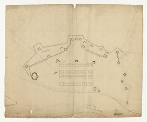
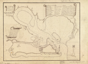
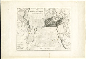
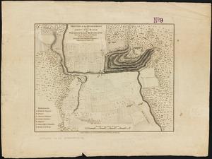
9628. [Plan de Gibraltar]
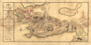
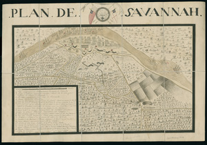
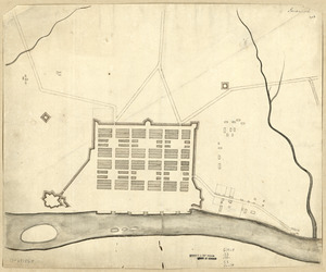
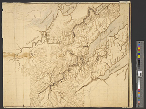
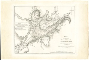
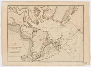
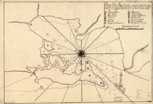
9636. Plan de Savannah


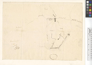
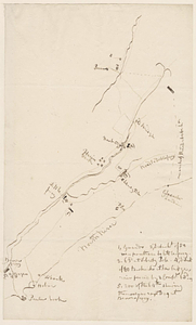
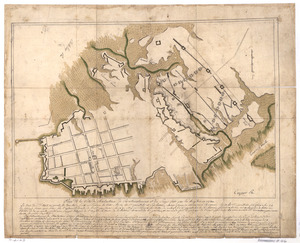
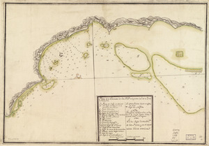
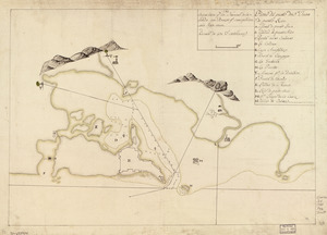
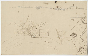
9643. Plan of Damons land

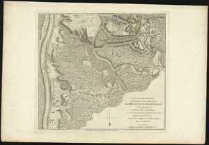
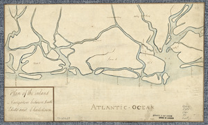
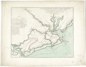
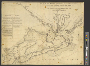
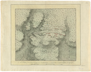
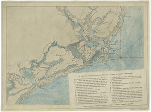
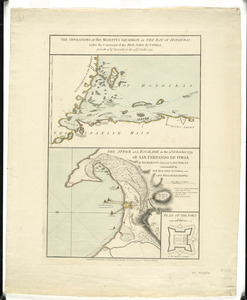
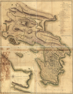
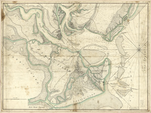
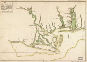
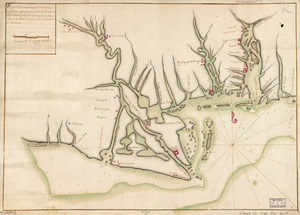
![Plan of the seige [sic] of Charlestown in South Carolina](https://bpldcassets.blob.core.windows.net/derivatives/metadata/commonwealth-oai:rb692949z/image_thumbnail_300.jpg)
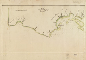
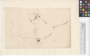
9678. Port Campbell

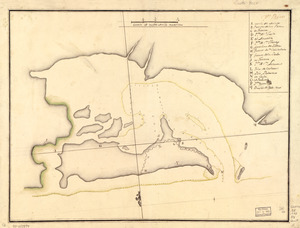
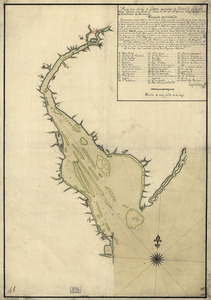
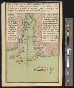
9683. Pto. Rico
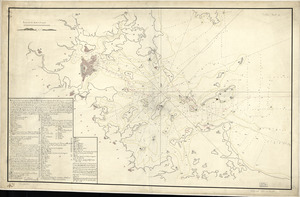
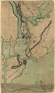
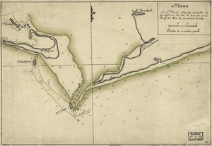
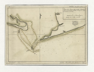
9684. Puerto del Boston
9685. Puerto Rico

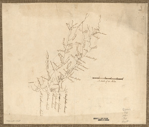
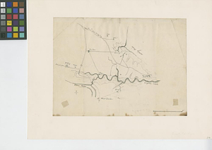
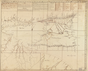
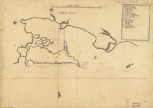
9688. The River St. John