Toggle navigation
LMEC Home
Collections
My Favorites
Exhibitions
Georeferencing
Tools for Teachers
Sign Up / Log In
Search
Search the map portal
Search
Search
Search for
Search in
All Fields
Title
Subject
Place
Creator
Search All Digital Collections
Advanced Search
15438 Results
Filter your Search
Show filters
Hide filters
Place
North and Central America
12,095
United States
10,050
Massachusetts
3,968
Suffolk (county)
1,745
Boston
1,695
Europe
1,465
Canada
1,035
New York
890
more
Place
»
Topic
Boston (Mass.)--Maps
772
City planning--Massachusetts--Boston--Maps
423
United States--Maps
360
United States--History--Revolution, 1775-1783--Maps
331
Real property--Massachusetts--Boston--Maps
264
Urban renewal--Massachusetts--Boston--Maps
254
Massachusetts--Maps
250
North America--Maps--Early works to 1800
242
more
Topic
»
Date
Begin
End
View distribution
Creator
United States. National Ocean Service
722
United States. Hydrographic Office
600
Boston Redevelopment Authority
404
Des Barres, Joseph F. W. (Joseph Frederick Wallet), 1722-1824
246
Jefferys, Thomas, -1771
188
Royal United Services Institute for Defence and Security Studies
160
George, III, King of Great Britain, 1738-1820
152
George, IV, King of Great Britain, 1762-1830
151
more
Creator
»
Format
Maps/Atlases
15,225
Manuscripts
985
Prints
109
Books
73
Drawings/Illustrations
44
Objects/Artifacts
18
Ephemera
15
Photographs
15
more
Format
»
Georeferenced
Yes
1,312
No
14,126
Collection
Norman B. Leventhal Map & Education Center Collection
9,516
American Revolutionary War-Era Maps
3,914
Boston and New England Maps
3,095
Urban Maps
2,575
Maritime Charts and Atlases
1,171
William L. Clements Library Collection
910
U.S. Government Documents Maps Collection
756
Library of Congress Collection
618
more
Collection
»
Available to use
No known restrictions
11,388
Creative Commons license
1,688
Sort
by relevance
relevance
title
date (asc)
date (desc)
recently added
Number of results to display per page
20
per page
per page
10
per page
20
per page
50
per page
100
per page
Search Results
14801.
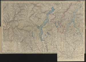
Viaggio ai tre laghi Maggiore, di Lugano e di Como al Monte Rosa, al Sempione ed al Sacro Monte di Varallo
14802.
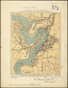
Vicksburg and its defences : constructed and engraved to illustrate "The war with the South"
14803.
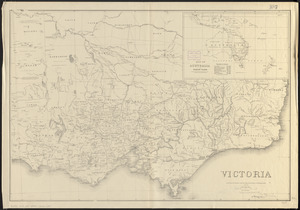
Victoria
14804.
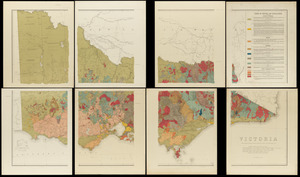
Victoria
14805.
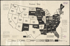
Victory map
14806.
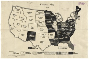
Victory map 1919
14807.
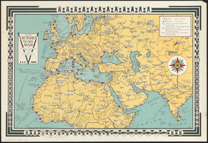
The victory war map
14808.
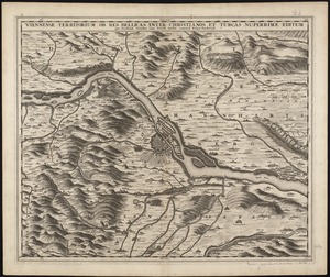
Viennense territorium ob res bellicas inter Christianos et Turcas nuperrime editum
14809.
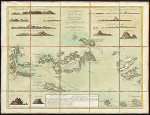
Les Vierges, levées par les Anglais, et par les Dannois : traduit de l'Anglais
14810.
Le vieux carre de la Nouvelle Orleans : over a span of many years : a map done in the year 1928
14811.
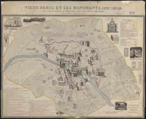
Vieux Paris et ses monuments (XVIIe siècle) : avec le tracé de ses limites sous Philippe-Auguste, Charles VI, Louis XII et...
14812.
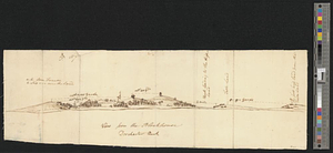
View from the blockhouse : Dorchester Neck
14813.
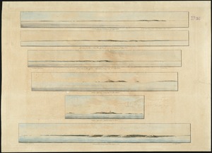
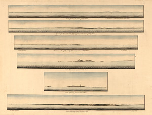
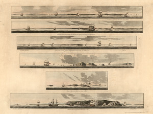
A view from the south eastward of Halifax Harbor : Appearance of the shore, (at three miles off,) four or five leagues to the...
14814.
A view from the south eastward of Halifax Harbor ; Appearance of the shore at three miles off four or five leagues to the...
14815.
A view from the south eastward of Halifax Harbor ; Appearance of the shore at three miles off four or five leagues to the...
14816.
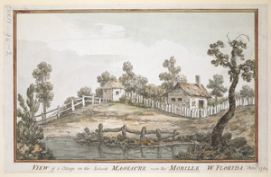
VIEW of a Cottage on the Island MASSACRE near the MOBILLE W. FLORIDA. Oct.r 1764
14817.
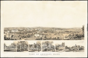
View of Amherst, Mass
14818.
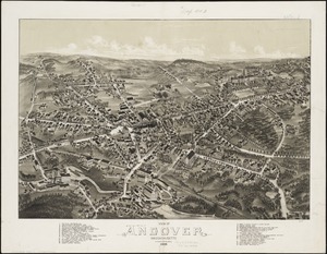
View of Andover, Massachusetts : 1882
14819.
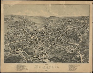
View of Andover, Massachusetts : 1882
14820.
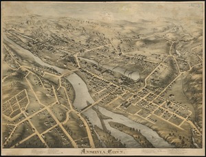
View of Ansonia, Conn : 1875
« Previous
Next »
1
2
…
737
738
739
740
741
742
743
744
745
…
771
772