Toggle navigation
LMEC Home
Exhibitions
Georeferencing
Tools for Teachers
Collections
My Favorites
Sign Up / Log In
Search
Search the map portal
Map Collection
Map Collection
Map Sets
Search
Search
Search for
Search In
All Fields
Creator
Title
Subject
Place
Search All Digital Collections
Advanced Search
13385 Results
Filter your Search
Place
North and Central America
9,353
United States
7,078
Suffolk (county)
1,664
Boston
1,621
Europe
1,035
Canada
949
Massachusetts
794
New York
532
more
Place
»
Topic
Boston (Mass.)--Maps
741
City planning--Massachusetts--Boston--Maps
418
United States--History--Revolution, 1775-1783--Maps
329
United States--Maps
315
Urban renewal--Massachusetts--Boston--Maps
254
Real property--Massachusetts--Boston--Maps
252
Massachusetts--Maps
219
Insurance surveys
197
more
Topic
»
Date
Date range begin
–
Date range end
Current results range from
1482
to
2023
View distribution
Creator
United States. Hydrographic Office
595
Boston Redevelopment Authority
403
Des Barres, Joseph F. W. (Joseph Frederick Wallet), 1722-1824
247
Royal United Services Institute for Defence and Security Studies
160
Jefferys, Thomas, -1771
154
George, III, King of Great Britain, 1738-1820
152
George, IV, King of Great Britain, 1762-1830
151
O.H. Bailey & Co
148
more
Creator
»
Format
Maps/Atlases
13,205
Manuscripts
985
Prints
102
Books
49
Drawings/Illustrations
44
Photographs
15
Objects/Artifacts
13
Documents
7
more
Format
»
Georeferenced
Yes
979
No
12,406
Collection
Norman B. Leventhal Map Center Collection
8,891
American Revolutionary War-Era Maps
3,305
Boston and New England Maps
2,804
Urban Maps
2,397
Maritime Charts and Atlases
1,150
William L. Clements Library Collection
910
Library of Congress Collection
618
Boston Redevelopment Authority Collection
475
more
Collection
»
Available to use
No known restrictions
9,952
Creative Commons license
1,677
Search Constraints
Sort by date (asc)
relevance
title
date (asc)
date (desc)
Number of results to display per page
20 per page
10
per page
20
per page
50
per page
100
per page
View results as:
grid view
map view
Search Results
11861.
China
11862.
[Chippewa] National Forest, Minnesota
11863.
City of Boston zoning map
11864.
Electric transmission systems of the United States, showing all transmission lines and interconnections above 11,000 volts also...
11865.
Erez Israel = Erets Yiśraʼel : adamah ʻIvrit
11866.
Kootenai National Forest, Montana
11867.
Landing facilities and proposed airway system in the United States, 1924
11868.
Map of a part of the City of Nashua, New Hampshire
11869.
Map of central Boston and Cambridge
11870.
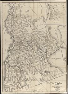
Map of the city of Fall River, Mass.
11871.
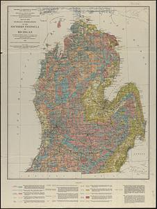
Map of the surface formations of the southern peninsula of Michigan
11872.
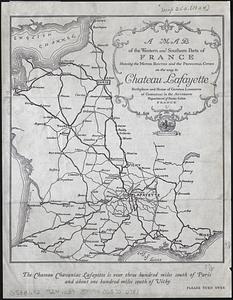
A map of the western and southern parts of France showing the motor routes and the principal cities on the way to Chateau...
11873.
North America
11874.
Official highway map of the state of Vermont
11875.
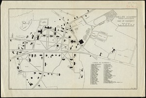
Phillips Academy, Andover, Massachusetts, map of property
11876.
Plan of land at Buzzards Bay, Mass., belonging to the N.E. Telephone & Telegraph Co.
11877.
Rand McNally official 1924 auto trails map Maine ; Rand McNally official 1924 auto trails map New Hampshire, Vermont
11878.
Rand McNally standard map of Toronto and environs
11879.
Rand McNally standard map of Washington D.C.
11880.
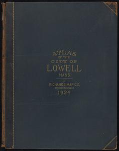
Richards standard atlas of the city of Lowell, Massachusetts
‹ Prev
Next ›
1
2
…
590
591
592
593
594
595
596
597
598
…
669
670

![[Chippewa] National Forest, Minnesota](https://bpldcassets.blob.core.windows.net/derivatives/images/commonwealth:th83pg40d/image_thumbnail_300.jpg)