Toggle navigation
LMEC Home
Exhibitions
Georeferencing
Tools for Teachers
Collections
My Favorites
Sign Up / Log In
Search
Search the map portal
Map Collection
Map Collection
Map Sets
Search
Search
Search for
Search In
All Fields
Creator
Title
Subject
Place
Search All Digital Collections
Advanced Search
13385 Results
Filter your Search
Place
North and Central America
9,353
United States
7,078
Suffolk (county)
1,664
Boston
1,621
Europe
1,035
Canada
949
Massachusetts
794
New York
532
more
Place
»
Topic
Boston (Mass.)--Maps
741
City planning--Massachusetts--Boston--Maps
418
United States--History--Revolution, 1775-1783--Maps
329
United States--Maps
315
Urban renewal--Massachusetts--Boston--Maps
254
Real property--Massachusetts--Boston--Maps
252
Massachusetts--Maps
219
Insurance surveys
197
more
Topic
»
Date
Date range begin
–
Date range end
Current results range from
1482
to
2023
View distribution
Creator
United States. Hydrographic Office
595
Boston Redevelopment Authority
403
Des Barres, Joseph F. W. (Joseph Frederick Wallet), 1722-1824
247
Royal United Services Institute for Defence and Security Studies
160
Jefferys, Thomas, -1771
154
George, III, King of Great Britain, 1738-1820
152
George, IV, King of Great Britain, 1762-1830
151
O.H. Bailey & Co
148
more
Creator
»
Format
Maps/Atlases
13,205
Manuscripts
985
Prints
102
Books
49
Drawings/Illustrations
44
Photographs
15
Objects/Artifacts
13
Documents
7
more
Format
»
Georeferenced
Yes
979
No
12,406
Collection
Norman B. Leventhal Map Center Collection
8,891
American Revolutionary War-Era Maps
3,305
Boston and New England Maps
2,804
Urban Maps
2,397
Maritime Charts and Atlases
1,150
William L. Clements Library Collection
910
Library of Congress Collection
618
Boston Redevelopment Authority Collection
475
more
Collection
»
Available to use
No known restrictions
9,952
Creative Commons license
1,677
Search Constraints
Sort by date (asc)
relevance
title
date (asc)
date (desc)
Number of results to display per page
20 per page
10
per page
20
per page
50
per page
100
per page
View results as:
grid view
map view
Search Results
11541.
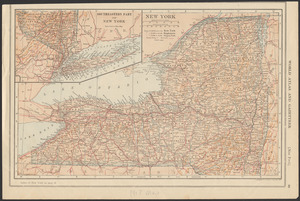
New York
11542.
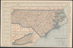
North Carolina
11543.
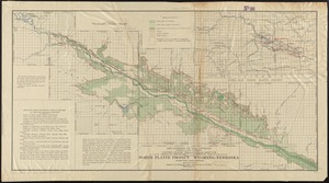
North Platte Project, Wyoming-Nebraska
11544.
Philips' large scale contoured map of the Anglo-French front
11545.
Population of the world divided according to states
11546.
Railroad distance map of the United States, Mexico & Canada
11547.
The Rand-McNally new commercial atlas map of Alabama
11548.
Richard Mayer's commercial map of Northern Chili, Bolivia & southern Peru
11549.
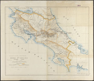
Richard Mayer's commercial of the Republic of Costa Rica
11550.
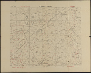
Schaap-balie
11551.
State of Illinois
11552.
Stovel's map of Winnipeg, including St. Boniface and surrounding suburbs
11553.
Subject nationalities of the German alliance : from the Allies' peace terms as stated in their reply to President Wilson's note...
11554.
Topographic map of Hardin County, Illinois
11555.
Topographic map of Lawrence County, Illinois
11556.
Topographic map of the Plattsburg Training Camp, New York
11557.
Venezuela with Trinidad and part of West Indies and British Guiana
11558.
A vision of Private Kutschkes of the German National Guard = Traumgebild des deutschen Landwehrmanns Kutschke!
11559.
Washington and vicinity
11560.
Adriatic
‹ Prev
Next ›
1
2
…
574
575
576
577
578
579
580
581
582
…
669
670