Search Constraints
Search Results


11382. Shawmut Avenue

11383. Sheboygan County, Wis.
![The Sheffield Corporation, et al., Greenfield, Mass. [insurance map]](https://bpldcassets.blob.core.windows.net/derivatives/images/commonwealth:ww72bz02r/image_thumbnail_300.jpg)


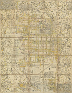
11388. Shíjú tú

11389. Shinsen zouho Kyo oezu
11390. Shinsen zouho Kyo oezu
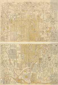
11391. Shinsen zouho Kyo oezu

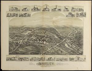
11393. Shirley, Massachusetts, 1892


11397. Siberia