Toggle navigation
LMEC Home
Exhibitions
Georeferencing
Tools for Teachers
Collections
My Favorites
Sign Up / Log In
Search
Search the map portal
Map Collection
Map Collection
Map Sets
Search
Search
Search for
Search In
All Fields
Creator
Title
Subject
Place
Search All Digital Collections
Advanced Search
13385 Results
Filter your Search
Place
North and Central America
9,353
United States
7,078
Suffolk (county)
1,664
Boston
1,621
Europe
1,035
Canada
949
Massachusetts
794
New York
532
more
Place
»
Topic
Boston (Mass.)--Maps
741
City planning--Massachusetts--Boston--Maps
418
United States--History--Revolution, 1775-1783--Maps
329
United States--Maps
315
Urban renewal--Massachusetts--Boston--Maps
254
Real property--Massachusetts--Boston--Maps
252
Massachusetts--Maps
219
Insurance surveys
197
more
Topic
»
Date
Date range begin
–
Date range end
Current results range from
1482
to
2023
View distribution
Creator
United States. Hydrographic Office
595
Boston Redevelopment Authority
403
Des Barres, Joseph F. W. (Joseph Frederick Wallet), 1722-1824
247
Royal United Services Institute for Defence and Security Studies
160
Jefferys, Thomas, -1771
154
George, III, King of Great Britain, 1738-1820
152
George, IV, King of Great Britain, 1762-1830
151
O.H. Bailey & Co
148
more
Creator
»
Format
Maps/Atlases
13,205
Manuscripts
985
Prints
102
Books
49
Drawings/Illustrations
44
Photographs
15
Objects/Artifacts
13
Documents
7
more
Format
»
Georeferenced
Yes
979
No
12,406
Collection
Norman B. Leventhal Map Center Collection
8,891
American Revolutionary War-Era Maps
3,305
Boston and New England Maps
2,804
Urban Maps
2,397
Maritime Charts and Atlases
1,150
William L. Clements Library Collection
910
Library of Congress Collection
618
Boston Redevelopment Authority Collection
475
more
Collection
»
Available to use
No known restrictions
9,952
Creative Commons license
1,677
Search Constraints
Sort by relevance
relevance
title
date (asc)
date (desc)
Number of results to display per page
20 per page
10
per page
20
per page
50
per page
100
per page
View results as:
grid view
map view
Search Results
11061.
Revised map of western hydroelectric systems showing transmission lines, power plants and some major undeveloped power sites as...
11062.
Revised plan of house lots belonging to the Duxbury Shore Co : Duxbury, Mass., July 1871
11063.
Rhein Panorama von Cöln nach Düsseldorf und Mainz
11064.
Rhemi : Partie meridionale du dioecese, et archevesché de Rheims en Champagne : la ou sont les Duché, et pairrie partie du...
11065.
Rhemi : partie septentrle du Dioecse et Archevesché de Rheims en Champagne : la ou sont les Bailiage, Duche, et Eslection de...
11066.
Rhenolandiae et Amstellandiae exactissima tabula
11067.
Rhode Island
11068.
Rhode Island
11069.
Rhode Island
11070.
Richard Borden Mills Corp., Fall River, Mass. [insurance map]
11071.
Richard Mayer's commercial map of Northern Chili, Bolivia & southern Peru
11072.
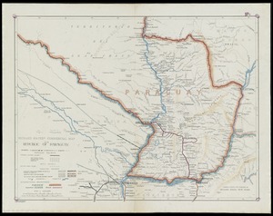
Richard Mayer's commercial map of the republic of Paraguay
11073.
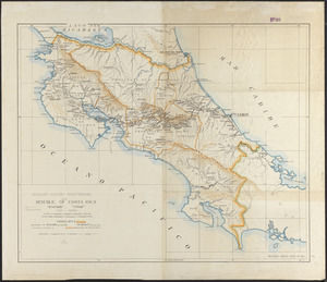
Richard Mayer's commercial of the Republic of Costa Rica
11074.
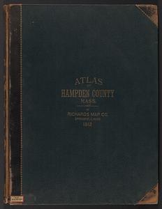
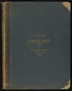
Richards standard atlas of Hampden County, Massachusetts : based upon, and carefully compiled from, the official plans, surveys...
11075.
Richards standard atlas of Hampden County, Massachusetts
11076.
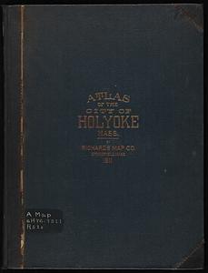
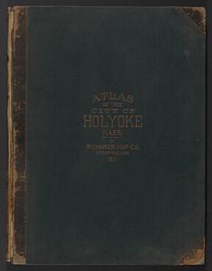
Richards standard atlas of the city of Holyoke, Massachusetts : containing ten double page maps in colors, covering the entire...
11077.
Richards standard atlas of the city of Holyoke, Massachusetts : containing ten double page maps in colors, covering the entire...
11078.
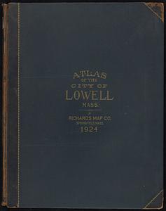
Richards standard atlas of the city of Lowell, Massachusetts
11079.
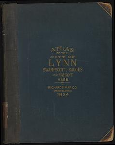
Richards standard atlas of the city of Lynn and the towns of Swampscott, Saugus and Nahant, Massachusetts : from official...
11080.
Richards standard atlas of the city of Lynn and the towns of Swampscott, Saugus, and Nahant, Massachusetts
‹ Prev
Next ›
1
2
…
550
551
552
553
554
555
556
557
558
…
669
670


![Richard Borden Mills Corp., Fall River, Mass. [insurance map]](https://bpldcassets.blob.core.windows.net/derivatives/images/commonwealth:4j03df49v/image_thumbnail_300.jpg)