Toggle navigation
LMEC Home
Exhibitions
Georeferencing
Tools for Teachers
Collections
My Favorites
Sign Up / Log In
Search
Search the map portal
Map Collection
Map Collection
Map Sets
Search
Search
Search for
Search In
All Fields
Creator
Title
Subject
Place
Search All Digital Collections
Advanced Search
13385 Results
Filter your Search
Place
North and Central America
9,353
United States
7,078
Suffolk (county)
1,664
Boston
1,621
Europe
1,035
Canada
949
Massachusetts
794
New York
532
more
Place
»
Topic
Boston (Mass.)--Maps
741
City planning--Massachusetts--Boston--Maps
418
United States--History--Revolution, 1775-1783--Maps
329
United States--Maps
315
Urban renewal--Massachusetts--Boston--Maps
254
Real property--Massachusetts--Boston--Maps
252
Massachusetts--Maps
219
Insurance surveys
197
more
Topic
»
Date
Date range begin
–
Date range end
Current results range from
1482
to
2023
View distribution
Creator
United States. Hydrographic Office
595
Boston Redevelopment Authority
403
Des Barres, Joseph F. W. (Joseph Frederick Wallet), 1722-1824
247
Royal United Services Institute for Defence and Security Studies
160
Jefferys, Thomas, -1771
154
George, III, King of Great Britain, 1738-1820
152
George, IV, King of Great Britain, 1762-1830
151
O.H. Bailey & Co
148
more
Creator
»
Format
Maps/Atlases
13,205
Manuscripts
985
Prints
102
Books
49
Drawings/Illustrations
44
Photographs
15
Objects/Artifacts
13
Documents
7
more
Format
»
Georeferenced
Yes
979
No
12,406
Collection
Norman B. Leventhal Map Center Collection
8,891
American Revolutionary War-Era Maps
3,305
Boston and New England Maps
2,804
Urban Maps
2,397
Maritime Charts and Atlases
1,150
William L. Clements Library Collection
910
Library of Congress Collection
618
Boston Redevelopment Authority Collection
475
more
Collection
»
Available to use
No known restrictions
9,952
Creative Commons license
1,677
Search Constraints
Sort by date (asc)
relevance
title
date (asc)
date (desc)
Number of results to display per page
20 per page
10
per page
20
per page
50
per page
100
per page
View results as:
grid view
map view
Search Results
10201.
New topographical atlas of the county of Hampden, Massachusetts
10202.
New topographical atlas of the county of Hampden, Massachusetts : containing thirty-three double page maps, in colors, of the...
10203.
The New York, New Haven & Hartford Railroad and connections
10204.
Plan of Charles River : from the Waltham line to Boston harbor
10205.
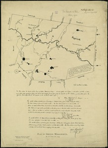
Plan of Groton, Massachusetts : as it was in 1794
10206.
Plan of Orient Heights, Boston, Mass
10207.
Plan of portion of park system from Common to Franklin Park : including Charles River Basin, Charlesbank, Commonwealth Avenue,...
10208.
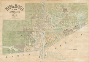
Plano de Manila y sus arrabales 1894
10209.
Post route map of the State of Georgia showing post offices with the intermediate distances and mail routes in operation on the...
10210.
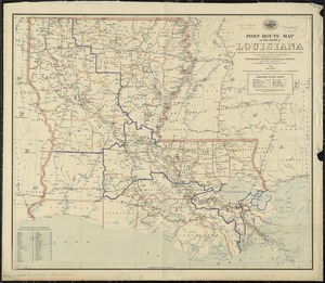
Post route map of the State of Louisiana showing post offices with the intermediate distances and mail routes in operation on...
10211.
Relief practice map
10212.
Rugby : belonging to Wood, Harmon & Co
10213.
Sketch plan showing the existing and proposed public reservations upon the banks of the Charles between Waltham line and...
10214.
South end of Lake Michigan
10215.
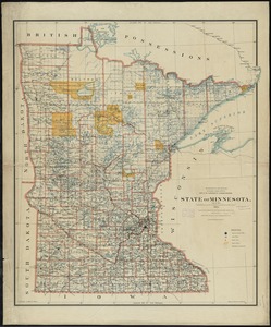
State of Minnesota
10216.
State of Nevada
10217.
Atlas of the city of Boston : Boston proper and Roxbury
10218.
Atlas of the city of Boston : Boston proper and Roxbury : from actual surveys and official plans
10219.
Atlas of the city of Fitchburg, Worcester County, Massachusetts : from official records and surveys
10220.
Atlas of the city of Newton, Massachusetts : from actual surveys and official plans
‹ Prev
Next ›
1
2
…
507
508
509
510
511
512
513
514
515
…
669
670