Toggle navigation
LMEC Home
Collections
My Favorites
Exhibitions
Georeferencing
Tools for Teachers
Sign Up / Log In
Search
Search the map portal
Search
Search
Search for
Search in
All Fields
Title
Subject
Place
Creator
Search All Digital Collections
Advanced Search
15438 Results
Filter your Search
Show filters
Hide filters
Place
North and Central America
12,095
United States
10,050
Massachusetts
3,968
Suffolk (county)
1,745
Boston
1,695
Europe
1,465
Canada
1,035
New York
890
more
Place
»
Topic
Boston (Mass.)--Maps
772
City planning--Massachusetts--Boston--Maps
423
United States--Maps
360
United States--History--Revolution, 1775-1783--Maps
331
Real property--Massachusetts--Boston--Maps
264
Urban renewal--Massachusetts--Boston--Maps
254
Massachusetts--Maps
250
North America--Maps--Early works to 1800
242
more
Topic
»
Date
Begin
End
View distribution
Creator
United States. National Ocean Service
722
United States. Hydrographic Office
600
Boston Redevelopment Authority
404
Des Barres, Joseph F. W. (Joseph Frederick Wallet), 1722-1824
246
Jefferys, Thomas, -1771
188
Royal United Services Institute for Defence and Security Studies
160
George, III, King of Great Britain, 1738-1820
152
George, IV, King of Great Britain, 1762-1830
151
more
Creator
»
Format
Maps/Atlases
15,225
Manuscripts
985
Prints
109
Books
73
Drawings/Illustrations
44
Objects/Artifacts
18
Ephemera
15
Photographs
15
more
Format
»
Georeferenced
Yes
1,312
No
14,126
Collection
Norman B. Leventhal Map & Education Center Collection
9,516
American Revolutionary War-Era Maps
3,914
Boston and New England Maps
3,095
Urban Maps
2,575
Maritime Charts and Atlases
1,171
William L. Clements Library Collection
910
U.S. Government Documents Maps Collection
756
Library of Congress Collection
618
more
Collection
»
Available to use
No known restrictions
11,388
Creative Commons license
1,688
Sort
by date (desc)
relevance
title
date (asc)
date (desc)
recently added
Number of results to display per page
20
per page
per page
10
per page
20
per page
50
per page
100
per page
Search Results
81.
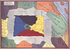
Map of the countries near to the land of Oz
82.
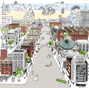
A South Ender's view of the world
83.
Cape Cod Canal
84.
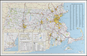
Massachusetts official transportation map
85.
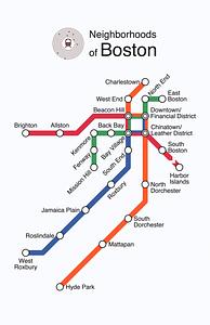
Neighborhoods of Boston
86.
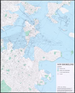
1630 shoreline
87.
1. Egypt and the Near East, 3000-1200 BCE
88.
2. Egypt and the Near East, 1200 to 500 BCE
89.
3. Greece and the Aegean in the fifth century BCE
90.
4. Greece and Persia in the Time of Alexander the Great
91.
5. Italy in the mid-first century CE
92.
6. The world of the New Testament and the journeys of Paul
93.
7. The Roman Empire around 200 CE
94.
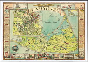
Nantucket
95.
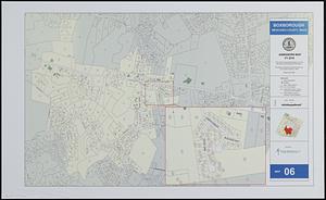
Boxborough, Middlesex County, Mass map 06
96.
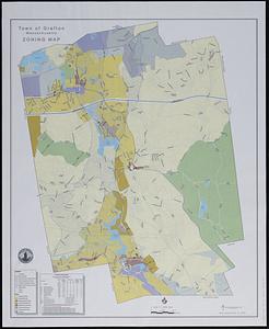
Town of Grafton, Massachusetts, zoning map
97.
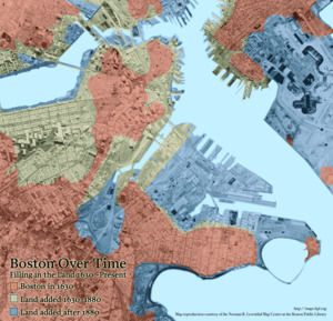
Boston Over Time : filling in the land 1630 - present
98.
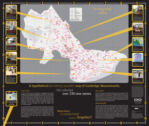
The people's republic of Cambridge
99.
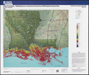
State of Louisiana, highlighting low-lying areas derived from USGS digital elevation data
100.
Town of Lincoln, Massachusetts assessor's atlas
« Previous
Next »
1
2
3
4
5
6
7
8
9
…
771
772