Toggle navigation
LMEC Home
Exhibitions
Georeferencing
Tools for Teachers
Collections
My Favorites
Sign Up / Log In
Search
Search the map portal
Map Collection
Map Collection
Map Sets
Search
Search
Search for
Search In
All Fields
Creator
Title
Subject
Place
Search All Digital Collections
Advanced Search
146 Results
My Search
Start Over
1883
Remove constraint 1883
Filter your Search
Place
North and Central America
105
United States
84
Boston
22
Suffolk (county)
22
Chile
15
Magallanes y de la Antártica Chilena
14
Asia
10
China
5
more
Place
»
Topic
Boston (Mass.)--Maps
12
Real property--Massachusetts--Boston--Maps
12
Fire risk assessment--Massachusetts--Boston--Maps
8
Coasts--Chile--Maps
6
Landowners--Massachusetts--Boston--Maps
6
Roxbury (Boston, Mass.)--Maps
5
East Boston (Boston, Mass.)--Maps
4
South Boston (Boston, Mass.)--Maps
4
more
Topic
»
Date
Date range begin
–
Date range end
Current results range from
1711
to
1935
View distribution
Creator
United States. Hydrographic Office
37
O.H. Bailey & Co
11
Sanborn, D. A. (Daniel Alfred), -1883
9
Humphreys, A. A. (Andrew Atkinson), 1810-1883
8
G.W. Bromley & Co.
6
United States. Army. Corps of Engineers
5
Collinson, Richard, Sir, 1811-1883
4
Kellett, Henry, 1806-1875
4
more
Creator
»
Format
Maps/Atlases
146
Manuscripts
2
Georeferenced
Yes
7
No
139
Collection
Norman B. Leventhal Map Center Collection
139
Urban Maps
49
Maritime Charts and Atlases
45
Boston and New England Maps
42
David Judkins Weaver Papers
4
Mapping Boston Collection
3
American Revolutionary War-Era Maps
2
New York Public Library Collection
2
more
Collection
»
Available to use
No known restrictions
138
Creative Commons license
6
Search Constraints
Sort by relevance
relevance
title
date (asc)
date (desc)
Number of results to display per page
20 per page
10
per page
20
per page
50
per page
100
per page
View results as:
grid view
map view
Search Results
81.
Harper's Ferry
82.
Jetersville and Sailors Creek
83.
Cold Harbor
84.
Map of Hawaii
85.
Boston Bay and approaches
86.
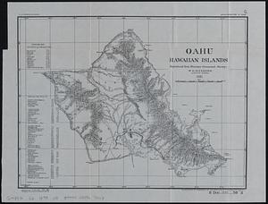
Oahu, Hawaiian Islands
87.
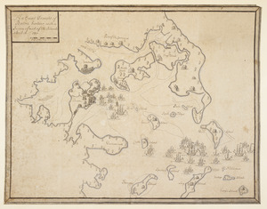
An Exact Draught of Bostone harbour, with a Survey of most of the Islands about it
88.
L'Asie antérieure : d'après le texte de la Nouvelle Géographie Universelle et d'autres documents récents
89.
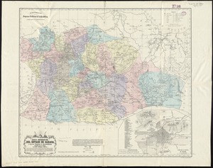
Carta corográfica del estado de Oaxaca y de su capital y alrededores
90.
Colton's Florida
91.
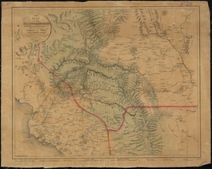
Map of the Texas, Topolobampo and Pacific Railroad and Telegraph Cpy. (Western Division) : from Chihuahua and Parral to...
92.
Atlas of Fall River City, Massachusetts
93.
Azores
94.
Belvidere : New Jersey
95.
Blairstown, New Jersey
96.
Chicago, Burlington & Quincy R.R. and intersecting lines
97.
Flemington : New Jersey
98.
Forest map of the Yakima Region, Washington Ter. showing the predominant elements of the forest covering
99.
Frenchtown : New Jersey
100.
A geological and topographical sketch map of the New York and Westmoreland Gas Coal Company's lands, at Manor Sta., Westm'd...
‹ Prev
Next ›
1
2
3
4
5
6
7
8