Search Constraints
Search Results

401. Plan of Boston


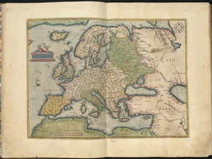
410. Europae

![Hemispheriu[m] ab aequinoctiali linea, ad circulu[m] Poli Arctici](https://bpldcassets.blob.core.windows.net/derivatives/images/commonwealth:3f462s45p/image_thumbnail_300.jpg)


421. Plan of Boston


431. United States


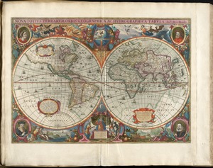
434. Western hemisphere


446. Plan of Boston

447. Plan of Boston


![[Plan of the State House grounds and the adjacent district]](https://bpldcassets.blob.core.windows.net/derivatives/images/commonwealth:js956k629/image_thumbnail_300.jpg)


462. Tab. moderna Indiae

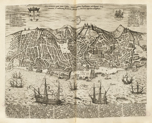
463. Bloys


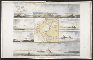
480. Town of Nahant


484. Chicago


486. Terra de Lavoratore


496. Florida


