Toggle navigation
LMEC Home
Exhibitions
Georeferencing
Tools for Teachers
Collections
My Favorites
Sign Up / Log In
Search
Search the map portal
Map Collection
Map Collection
Map Sets
Search
Search
Search for
Search In
All Fields
Creator
Title
Subject
Place
Search All Digital Collections
Advanced Search
2843 Results
My Search
Start Over
atlas
Remove constraint atlas
Filter your Search
Place
North and Central America
1,401
United States
829
Europe
351
Canada
271
Suffolk (county)
163
Boston
157
Asia
136
South America
101
more
Place
»
Topic
Landowners--Massachusetts--Boston--Maps
115
Real property--Massachusetts--Boston--Maps
106
United States--Maps
87
Boston (Mass.)--Maps
63
United States--History--French and Indian War, 1754-1763--Maps
63
Saint Lawrence River--Maps
41
Nautical charts--Early works to 1800
39
North America--Maps--Early works to 1800
36
more
Topic
»
Date
Date range begin
–
Date range end
Current results range from
1482
to
2023
View distribution
Creator
United States. Hydrographic Office
582
Des Barres, Joseph F. W. (Joseph Frederick Wallet), 1722-1824
118
Ptolemy, 2nd cent
100
Bromley, George Washington
99
Bromley, Walter Scott
97
G.W. Bromley & Co.
75
Carey, Mathew, 1760-1839
74
Paullin, Charles Oscar, 1868 or 1869-1944
70
more
Creator
»
Format
Maps/Atlases
2,827
Manuscripts
58
Books
37
Prints
8
Documents
5
Drawings/Illustrations
1
Georeferenced
Yes
142
No
2,701
Collection
Norman B. Leventhal Map Center Collection
2,386
Maritime Charts and Atlases
1,150
American Revolutionary War-Era Maps
504
Boston and New England Maps
374
Urban Maps
250
Massachusetts Real Estate Atlases
144
William L. Clements Library Collection
92
Mapping Boston Collection
61
more
Collection
»
Available to use
No known restrictions
2,292
Creative Commons license
158
Search Constraints
Sort by relevance
relevance
title
date (asc)
date (desc)
Number of results to display per page
50 per page
10
per page
20
per page
50
per page
100
per page
View results as:
grid view
map view
Search Results
2351.
A chart of the Atlantic Ocean : its islands and the adjacent continents: In which the British Dominions in Europe and America,...
2352.
Delflandia, Schielandia, et insulae trans Mosam illis objacentes ut sunt Voorna, Overflackea, Goerea, Yselmonda, etc
2353.
Electoratus et Palatinatus Rheni Episcopatuum Spirensis et Wormacensis ducatuum Bipontii et Simmerae et Comitatuum...
2354.
Exactissima Palatinatus Rheni ac Ducatus Bipontini tabula, qua tam omnes eorundem Balliviatus subjacentes, quam aliae ditiones...
2355.
Foederatae Belgicae tabula : in multis locis emendata et in lucem
2356.
Guinea
2357.
Hassia Landgraviatus
2358.
Hollandiae pars septentrionalis, vulgo Westuriesland et 't Noorder Quartier
2359.
Illustrissimo Celsissimoque Principii Guiljelmo Henrico D.G. Arausionum Principi Domino suo Clementissimo hanc Comitatus...
2360.
The island of Antego
2361.
Leodiensis dioecesis
2362.
A map of the most inhabited part of New England containing the provinces of Massachusets Bay and New Hampshire with the...
2363.
Map of the state of New York compiled from the latest authorities
2364.
A new and most exact map of Europe described by N.I. Visscher and don into English and corrected according to I Bleau and...
2365.
Recentissima novi orbis, sive Americae Septentrionalis et Meridionalis tabula
2366.
Steden Wyser synde een perfecte en klare aenwysinge ... Leggen = L'echelle des villes montrant la distance ... l'autre
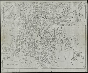
2367.
Stoneham, Massachusetts
2368.
Syriae sive Soriae : nova et accurata descriptio
2369.
Tabula ducatus Brabantiae continens Marchionatum sacri imperii et dominium Mechliniense
2370.
Tabula geographica qua pars meridionalis sive superior Rheni, Mosae, et Mosellae, ac minores in eosdem influentes Fluvii nec...
2371.
Tabula geographica qua pars septentrionalis sive Inferior Rheni, Mosae, et Mosellae, maximaeque partes Visurgis, Moeni, Amasi,...
2372.
Tabula Indiae orientalis
2373.
Tabula Russia vulgo Moscovia
2374.
Welt-karte zur übersicht der meeres-strömungen und des schnellverkehrs
2375.
Chart of the Banks of Newfoundland, drawn from a great number of hydrographical surveys, these charts are followed, according...
2376.
Africae nova descriptio
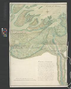
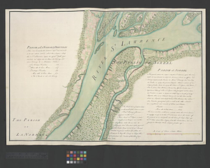
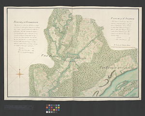
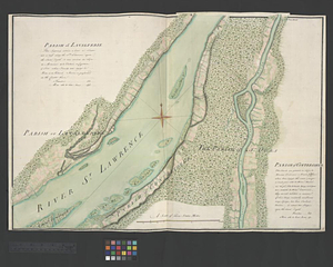
2377.
Archiepiscopatus Trevirensis recentissima delineatio
2378.
Asia recens summa cura delineata
2379.
The Cedres
2380.
Comitatus Northantonensis vernacule Northampton Shire
2381.
Continuation of the Grande Riviere with the village of Fariole lying near Cape Torment on the north shore
2382.
Ducatus Meklenburgicus in quo sunt Ducatus Vandaliae et Meklenburgi Comitatus et Episcopatus Swerinensis Rostochiense et...
2383.
Gouvernement de l'Isle de France
2384.
India Orientalis
2385.
Lotharingia ducatus noua descriptio
2386.
A map of Chili, Patagonia, La Plata and ye south part of Brasil
2387.
Marca d'Ancona olim Picenum
2388.
Nortfolcia : vernacule Norfolke
2389.
Novissima Flandriae comitatus tabula cum omnibus praefecturis, ect : et suis adjacentis provinciis
2390.
Palatinatus ad Rhenum
2391.
Parish of Batiscant. Parish of St. Pierre Becquet. Parish of Champlain. Parish of Gentilly
2392.
Parish of Berthier. Parish of St. François. Parish of St. Thomas
2393.
Parish of Bertier. Isle du Pas
2394.
Parish of Boucherville. Parish de la Magdelaine. Parish of La Prairie
2395.
Parish of Dechaillon or St. Jean. Parish of Grondines
2396.
Parish of Dechambeaux. Parish of Cape Sante. Parish of Lotbinière. Parish of St. Croix
2397.
Parish of Iamaska
2398.
Parish of La Norray & Dautray. Parish of Sorrel
2399.
Parish of L'Assomption. Parish of St. Sulpice
2400.
Parish of Lavalterie. Parish of Contrecoeur
‹ Prev
Next ›
1
2
…
44
45
46
47
48
49
50
51
52
…
56
57