Toggle navigation
LMEC Home
Exhibitions
Georeferencing
Tools for Teachers
Collections
My Favorites
Sign Up / Log In
Search
Search the map portal
Map Collection
Map Collection
Map Sets
Search
Search
Search for
Search In
All Fields
Creator
Title
Subject
Place
Search All Digital Collections
Advanced Search
13385 Results
Filter your Search
Place
North and Central America
9,353
United States
7,078
Suffolk (county)
1,664
Boston
1,621
Europe
1,035
Canada
949
Massachusetts
794
New York
532
more
Place
»
Topic
Boston (Mass.)--Maps
741
City planning--Massachusetts--Boston--Maps
418
United States--History--Revolution, 1775-1783--Maps
329
United States--Maps
315
Urban renewal--Massachusetts--Boston--Maps
254
Real property--Massachusetts--Boston--Maps
252
Massachusetts--Maps
219
Insurance surveys
197
more
Topic
»
Date
Date range begin
–
Date range end
Current results range from
1482
to
2023
View distribution
Creator
United States. Hydrographic Office
595
Boston Redevelopment Authority
403
Des Barres, Joseph F. W. (Joseph Frederick Wallet), 1722-1824
247
Royal United Services Institute for Defence and Security Studies
160
Jefferys, Thomas, -1771
154
George, III, King of Great Britain, 1738-1820
152
George, IV, King of Great Britain, 1762-1830
151
O.H. Bailey & Co
148
more
Creator
»
Format
Maps/Atlases
13,205
Manuscripts
985
Prints
102
Books
49
Drawings/Illustrations
44
Photographs
15
Objects/Artifacts
13
Documents
7
more
Format
»
Georeferenced
Yes
979
No
12,406
Collection
Norman B. Leventhal Map Center Collection
8,891
American Revolutionary War-Era Maps
3,305
Boston and New England Maps
2,804
Urban Maps
2,397
Maritime Charts and Atlases
1,150
William L. Clements Library Collection
910
Library of Congress Collection
618
Boston Redevelopment Authority Collection
475
more
Collection
»
Available to use
No known restrictions
9,952
Creative Commons license
1,677
Search Constraints
Sort by date (asc)
relevance
title
date (asc)
date (desc)
Number of results to display per page
20 per page
10
per page
20
per page
50
per page
100
per page
View results as:
grid view
map view
Search Results
9301.
Map of Massachusetts
9302.
Map of senatorial districts of Massachusetts, as established by the legislature of 1886 : with population and legal voters...
9303.
Map of the city of Boston
9304.
Map of the city of Boston and vicinity
9305.
Map of the Department of Dakota including Minnesota, Dakota and Montana
9306.
Map of the environs of the City of Mexico : authorized for publication with the Mexican guide
9307.
Map of the town of Dedham taken in the year 1795 by order of the General Court at their session June 18 1794
9308.
Map of Woodstock, Conn
9309.
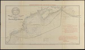
Map showing the Mackay-Bennett cables in the vicinity of the principal fishing grounds
9310.
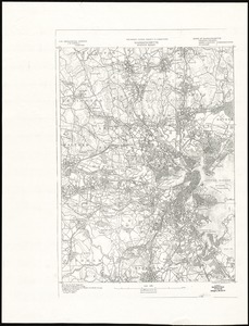
Massachusetts, Boston sheet
9311.
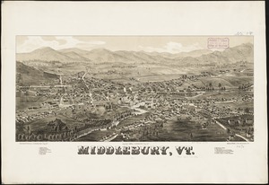
Middlebury, Vt
9312.
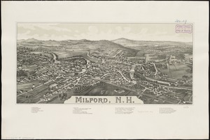
Milford, N.H
9313.
New bicycle & driving road map of Worcester Co., Massachusetts
9314.
New bond paper map of the city of Washington
9315.
New Boston and Charles River Bay
9316.
Newfoundland - east coast - Canada Bay with adjacent anchorages : from a French government survey ; 1862-3
9317.
Newfoundland--south coast, the Burgeo Islands : from British surveys in 1872 ; republication of Brit. Admty. chart no. 272
9318.
North America, east coast of Newfoundland, Fogo Id. to Cape Bonavista : from Brit. surveys 1869-1871 ; republication of Brit....
9319.
North Pacific Ocean, Loo Choo Archipelago-- Ou-sima, Hancock Bay : from British surveys in 1872 & 1882
9320.
Official map of the territory of Dakota, showing the two general divisions of Dakota, South and North, the land districts,...
‹ Prev
Next ›
1
2
…
462
463
464
465
466
467
468
469
470
…
669
670