Toggle navigation
LMEC Home
Exhibitions
Georeferencing
Tools for Teachers
Collections
My Favorites
Sign Up / Log In
Search
Search the map portal
Map Collection
Map Collection
Map Sets
Search
Search
Search for
Search In
All Fields
Creator
Title
Subject
Place
Search All Digital Collections
Advanced Search
13385 Results
Filter your Search
Place
North and Central America
9,353
United States
7,078
Suffolk (county)
1,664
Boston
1,621
Europe
1,035
Canada
949
Massachusetts
794
New York
532
more
Place
»
Topic
Boston (Mass.)--Maps
741
City planning--Massachusetts--Boston--Maps
418
United States--History--Revolution, 1775-1783--Maps
329
United States--Maps
315
Urban renewal--Massachusetts--Boston--Maps
254
Real property--Massachusetts--Boston--Maps
252
Massachusetts--Maps
219
Insurance surveys
197
more
Topic
»
Date
Date range begin
–
Date range end
Current results range from
1482
to
2023
View distribution
Creator
United States. Hydrographic Office
595
Boston Redevelopment Authority
403
Des Barres, Joseph F. W. (Joseph Frederick Wallet), 1722-1824
247
Royal United Services Institute for Defence and Security Studies
160
Jefferys, Thomas, -1771
154
George, III, King of Great Britain, 1738-1820
152
George, IV, King of Great Britain, 1762-1830
151
O.H. Bailey & Co
148
more
Creator
»
Format
Maps/Atlases
13,205
Manuscripts
985
Prints
102
Books
49
Drawings/Illustrations
44
Photographs
15
Objects/Artifacts
13
Documents
7
more
Format
»
Georeferenced
Yes
979
No
12,406
Collection
Norman B. Leventhal Map Center Collection
8,891
American Revolutionary War-Era Maps
3,305
Boston and New England Maps
2,804
Urban Maps
2,397
Maritime Charts and Atlases
1,150
William L. Clements Library Collection
910
Library of Congress Collection
618
Boston Redevelopment Authority Collection
475
more
Collection
»
Available to use
No known restrictions
9,952
Creative Commons license
1,677
Search Constraints
Sort by relevance
relevance
title
date (asc)
date (desc)
Number of results to display per page
20 per page
10
per page
20
per page
50
per page
100
per page
View results as:
grid view
map view
Search Results
9201.
Plan of modern Rome
9202.
Plan of modern Rome
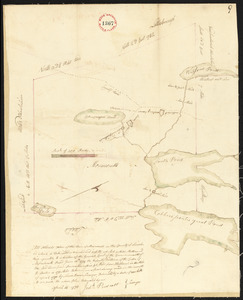
9203.
Plan of Monmouth, made by Jedediah Prescott, dated April 16, 1798.
9204.
Plan of Monroe, surveyor's name not given, dated 1830
9205.
Plan of Monson made by Aaron Bliss, dated 1831
9206.
Plan of Monson surveyed by Admatha Blodgett, dated March 14, 1795.
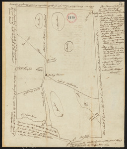
9207.
Plan of Montague made by Elisha Root, dated November 1794.
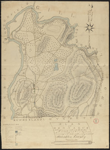
9208.
Plan of Montague made by Josiah Gould, dated August, 1830
9209.
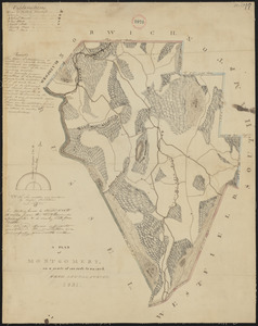
Plan of Montgomery, surveyor's name not given, dated 1831
9210.
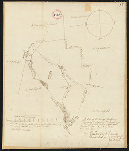
Plan of Montgomery, surveyor's name not given, dated November 1794.
9211.
Plan of Mount Auburn
9212.
Plan of Mount Desert, made by John Peters, dated 1795.
9213.
Plan of Mount Hope Cemetery : including the City Cemetery belonging to the City of Boston and situated in West Roxbury &...
9214.
Plan of Mount Hope Cemetery belonging to the City of Boston
9215.
A plan of Mr. Clifton's neck land platted by a scale of 50 poles to the inch : recto
9216.
A plan of Mr. Clifton's neck land platted by a scale of 50 poles to the inch : verso
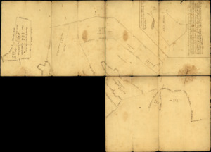
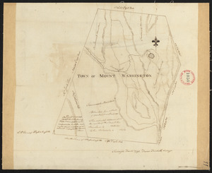
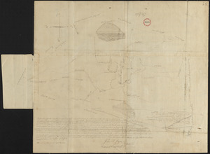
9217.
Plan of Mt. Washington surveyed by David Fairchild, dated December, 1794.
9218.
Plan of Mt. Washington, surveyor's name not given, dated January 4, 1831
9219.
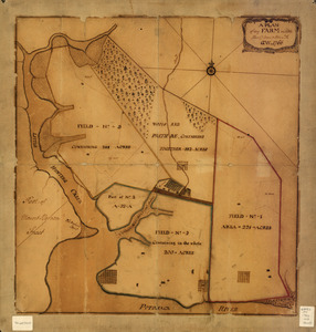
A plan of my farm on Little Huntg. Creek & Potomk. R
9220.
Plan of Mystic River showing the Harbor Commissioners lines : Dec. 1854
‹ Prev
Next ›
1
2
…
457
458
459
460
461
462
463
464
465
…
669
670