Toggle navigation
LMEC Home
Exhibitions
Georeferencing
Tools for Teachers
Collections
My Favorites
Sign Up / Log In
Search
Search the map portal
Map Collection
Map Collection
Map Sets
Search
Search
Search for
Search In
All Fields
Creator
Title
Subject
Place
Search All Digital Collections
Advanced Search
13385 Results
Filter your Search
Place
North and Central America
9,353
United States
7,078
Suffolk (county)
1,664
Boston
1,621
Europe
1,035
Canada
949
Massachusetts
794
New York
532
more
Place
»
Topic
Boston (Mass.)--Maps
741
City planning--Massachusetts--Boston--Maps
418
United States--History--Revolution, 1775-1783--Maps
329
United States--Maps
315
Urban renewal--Massachusetts--Boston--Maps
254
Real property--Massachusetts--Boston--Maps
252
Massachusetts--Maps
219
Insurance surveys
197
more
Topic
»
Date
Date range begin
–
Date range end
Current results range from
1482
to
2023
View distribution
Creator
United States. Hydrographic Office
595
Boston Redevelopment Authority
403
Des Barres, Joseph F. W. (Joseph Frederick Wallet), 1722-1824
247
Royal United Services Institute for Defence and Security Studies
160
Jefferys, Thomas, -1771
154
George, III, King of Great Britain, 1738-1820
152
George, IV, King of Great Britain, 1762-1830
151
O.H. Bailey & Co
148
more
Creator
»
Format
Maps/Atlases
13,205
Manuscripts
985
Prints
102
Books
49
Drawings/Illustrations
44
Photographs
15
Objects/Artifacts
13
Documents
7
more
Format
»
Georeferenced
Yes
979
No
12,406
Collection
Norman B. Leventhal Map Center Collection
8,891
American Revolutionary War-Era Maps
3,305
Boston and New England Maps
2,804
Urban Maps
2,397
Maritime Charts and Atlases
1,150
William L. Clements Library Collection
910
Library of Congress Collection
618
Boston Redevelopment Authority Collection
475
more
Collection
»
Available to use
No known restrictions
9,952
Creative Commons license
1,677
Search Constraints
Sort by relevance
relevance
title
date (asc)
date (desc)
Number of results to display per page
20 per page
10
per page
20
per page
50
per page
100
per page
View results as:
grid view
map view
Search Results
9181.
Plan of Mercantile Wharf property in Boston Mass : showing 5 lots of land thereon to be sold at public auction on Tuesday April...
9182.
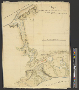
Plan of Merritck [sic] in the township of Southold on Long Island
9183.
A plan of Merritick in the township of Southold on Long Island
9184.
Plan of Methuen made by Stephen Barker, 2nd, dated July 1831
9185.
Plan of Methuen, surveyor's name not given, dated November 1795.
9186.
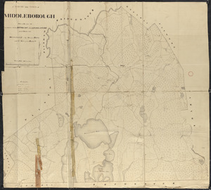
Plan of Middleborough, surveyor's name not given, dated 1794-5.
9187.
Plan of Middleborough, surveyor's name not given, dated 1830
9188.
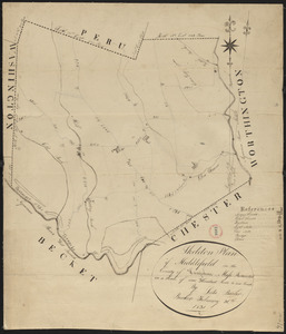
Plan of Middlefield made by Luke Barber, dated February 26, 1831
9189.
Plan of Middlefield surveyor's name not given, dated 1794-5.
9190.
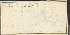
Plan of Middlesex County in the province of East Jersey : copied from the original by Lieut. I. Hills, asst. engr.
9191.
Plan of Middlesex County, Massachusetts
9192.
Plan of Middleton made by Moses Dorman, Jr., dated 1830
9193.
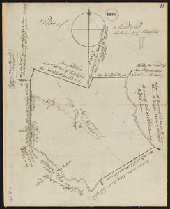
Plan of Middleton surveyed by Simeon Kenney, dated April 25, 1795. [description]
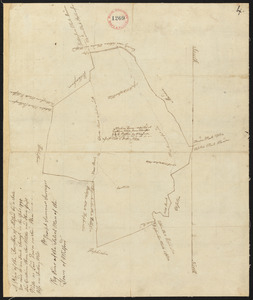
9194.
Plan of Middleton surveyed by Simeon Kenney, dated April 25, 1795.[map]
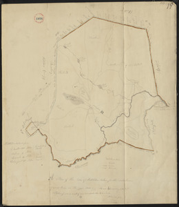
9195.
Plan of Milford, made by Joseph Sumner, dated 1795.
9196.
Plan of Milford made by Newell Nelson, dated 1831
9197.
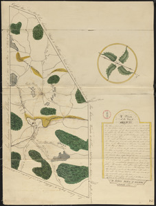
Plan of Millbury made by Hervey Peirce, dated January 1831
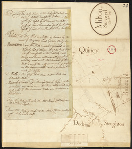
9198.
Plan of Milton Cemetery
9199.
Plan of Milton, surveyor's name not given, dated 1794-5.
9200.
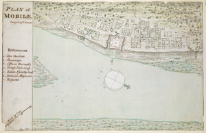
PLAN of MOBILE
‹ Prev
Next ›
1
2
…
456
457
458
459
460
461
462
463
464
…
669
670

![Plan of Merritck [sic] in the township of Southold on Long Island](https://bpldcassets.blob.core.windows.net/derivatives/metadata/commonwealth-oai:8623ns35f/image_thumbnail_300.jpg)
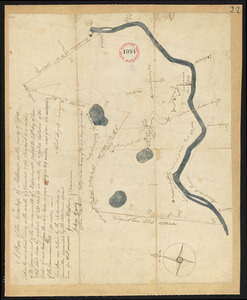

![Plan of Middleton surveyed by Simeon Kenney, dated April 25, 1795. [description]](https://bpldcassets.blob.core.windows.net/derivatives/images/commonwealth:2227nk51n/image_thumbnail_300.jpg)
![Plan of Middleton surveyed by Simeon Kenney, dated April 25, 1795.[map]](https://bpldcassets.blob.core.windows.net/derivatives/images/commonwealth:2227nk49m/image_thumbnail_300.jpg)