Search Constraints
Search Results


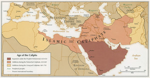
156. Africa

157. Africa

158. Africa

159. Africa

160. Africa

161. Africa

162. Africa

163. Africa


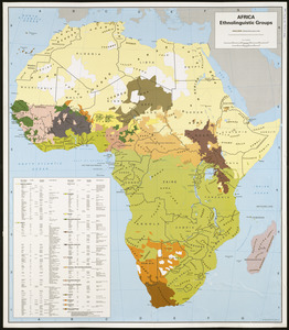


171. Africa vegetation


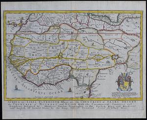
175. Africae nova tabula

176. Africae tabula nova


182. Afrika

183. Afrika

184. Afrika

185. L'Afrique


188. Afrique

189. Afrique

190. Afrique 1899