Toggle navigation
LMEC Home
Collections
My Favorites
Exhibitions
Georeferencing
Tools for Teachers
Sign Up / Log In
Search
Search the map portal
Search
Search
Search for
Search in
All Fields
Title
Subject
Place
Creator
Search All Digital Collections
Advanced Search
15446 Results
Filter your Search
Show filters
Hide filters
Place
North and Central America
12,095
United States
10,050
Massachusetts
3,968
Suffolk (county)
1,745
Boston
1,695
Europe
1,465
Canada
1,035
New York
890
more
Place
»
Topic
Boston (Mass.)--Maps
772
City planning--Massachusetts--Boston--Maps
423
United States--Maps
360
United States--History--Revolution, 1775-1783--Maps
331
Real property--Massachusetts--Boston--Maps
264
Urban renewal--Massachusetts--Boston--Maps
254
Massachusetts--Maps
250
North America--Maps--Early works to 1800
242
more
Topic
»
Date
Begin
End
View distribution
Creator
United States. National Ocean Service
729
United States. Hydrographic Office
600
Boston Redevelopment Authority
404
Des Barres, Joseph F. W. (Joseph Frederick Wallet), 1722-1824
246
Jefferys, Thomas, -1771
188
Royal United Services Institute for Defence and Security Studies
160
George, III, King of Great Britain, 1738-1820
152
George, IV, King of Great Britain, 1762-1830
151
more
Creator
»
Format
Maps/Atlases
15,233
Manuscripts
985
Prints
109
Books
73
Drawings/Illustrations
44
Objects/Artifacts
18
Ephemera
15
Photographs
15
more
Format
»
Georeferenced
Yes
1,312
No
14,134
Collection
Norman B. Leventhal Map & Education Center Collection
9,517
American Revolutionary War-Era Maps
3,914
Boston and New England Maps
3,095
Urban Maps
2,575
Maritime Charts and Atlases
1,171
William L. Clements Library Collection
910
U.S. Government Documents Maps Collection
763
Library of Congress Collection
618
more
Collection
»
Available to use
No known restrictions
11,396
Creative Commons license
1,688
Sort
by relevance
relevance
title
date (asc)
date (desc)
recently added
Number of results to display per page
50
per page
per page
10
per page
20
per page
50
per page
100
per page
Search Results
151.
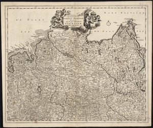
Accuratissima Circuli Saxoniae tabula quae est pars septentrionalis Germaniae
152.
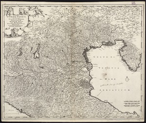
Accuratissima Dominii Veneti in Italia, Ducatus Parmae, Placentiae, Modenae Regii Et Mantuae, Episcopatus Tridentini Tabula...
153.
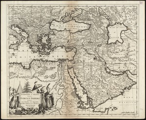
Accuratissima et maxima totius Turcici Imperii tabula cum omnibus suis regionibus novissima delineatio
154.
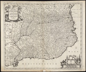
Accuratissima principatus Cataloniae, et comitatuum Ruscinonis, et Cerretaniae descriptio
155.
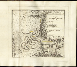
Action at Spencer's ordinary : June 26th. 1781
156.
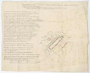
Action between Genl. St Clairs army & that of the American Indians Novr. 4th 1791 : collected from his public letter
157.
An actual survey of the sea coast from New York to the I. Cape Brition : with tables of the direct and thwart courses &...
158.
An actual survey of the sea coast from New York to the I. Cape Briton : with tables of the direct and thwart courses &...
159.
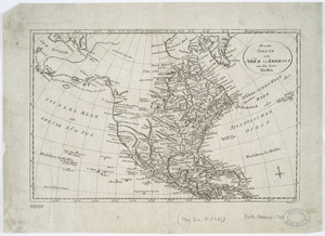
Acurate charte von Nord-America : aus dem besten quellen
160.
Acushnet Mill Corp. (Cotton Mill), New Bedford, Mass. [insurance map]
161.
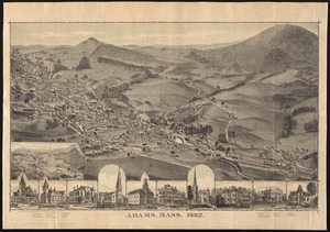
Adams, Mass : 1882
162.
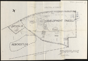
Adams Nervine Asylum
163.
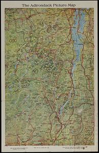
The Adirondack picture map
164.
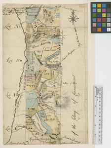
Admiral George Clinton's lands in the "Oblong"
165.
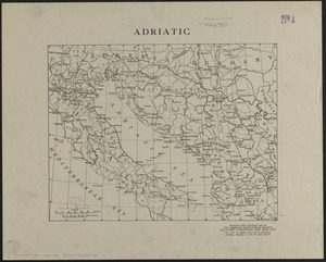
Adriatic
166.
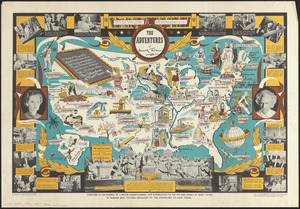
The adventures of Mark Twain
167.
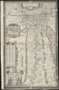
Aegyptus Antiqua
168.
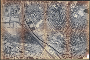
Aerial photo of Charlestown, Massachusetts
169.
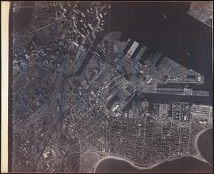
Aerial photograph of South Boston
170.
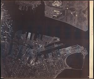
Aerial photograph of South Boston
171.
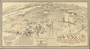
An aerial view of New York City showing how easily the weary traveler may reach the Herald Square Hotel wherein he will find...
172.
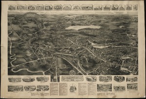
Aero view of Canton, Mass. 1918
173.
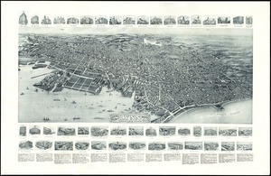
Aero view of Lynn, Mass, 1916 : looking north
174.
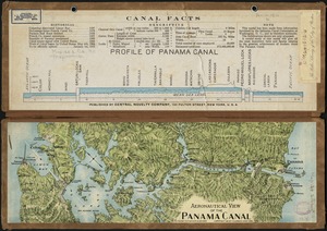
Aeronautical view of the Panama Canal
175.
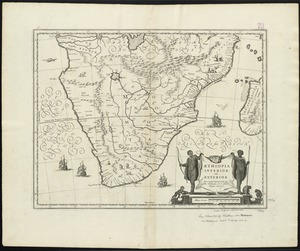
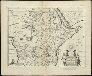
Aethiopia inferior, vel exterior : partes magis septentrionales, quae hic desiderantur, vide in tabula Ethiopiae superioris
176.
Aethiopia superior vel interior : vulgo Abissinorum, sive Presbiteri Ioannis imperium
177.
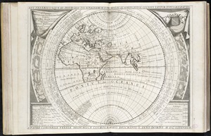
Ævi veteris usque ad annum salutis nonagesimum supra milles quadringentos cogniti tantum, typus geographica
178.
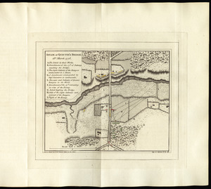
Affair at Quintin's Bridge : 18th March 1778
179.
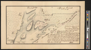
Affaire de Monmouth ce 28me Juin 1778
180.
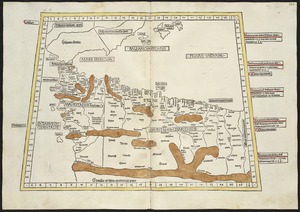
Affrice Tabule Quatuor : Prima Libie tabula continet ambas Mauritanias
181.
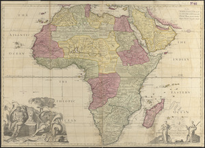
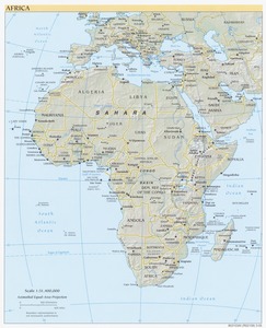
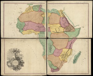
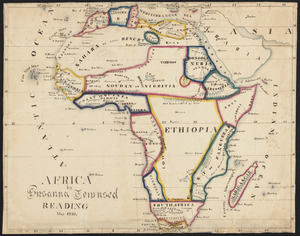
Africa
182.
Africa
183.
Africa
184.
Africa
185.
Africa : corrected from the observations of the Royal Society of London and Paris
186.
Africa
187.
Africa
188.
Africa
189.
Africa
190.
Africa
191.
Africa according to the best authorities
192.
Africa, east coast, Brava Harbor
193.
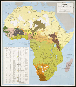
Africa, ethnolinguistic groups
194.
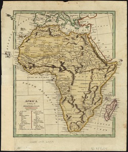
Africa, including the Mediterranean
195.
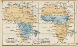
Africa January rainfall -- Africa July rainfall
196.
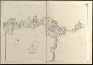
Africa, north coast, Strait of Gibraltar, Ceuta anchorages and approaches : from the French surveys 1855, corrected to 1876
197.
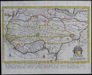
Africa or Libia Ulterior : where are the countries of Saara Desert and the countrie of Negroes and Guine with the circumjacent...
198.
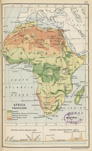
Africa vegetation
199.
Africae antiquae, et quarundam Europae, Asiaeque adiacentium regionum
200.
Africæ, described, the manners of their habits and buildings, newly done into English
« Previous
Next »
1
2
3
4
5
6
7
8
…
308
309