Toggle navigation
LMEC Home
Collections
My Favorites
Exhibitions
Georeferencing
Tools for Teachers
Sign Up / Log In
Search
Search the map portal
Search
Search
Search for
Search in
All Fields
Title
Subject
Place
Creator
Search All Digital Collections
Advanced Search
15446 Results
Filter your Search
Show filters
Hide filters
Place
North and Central America
12,095
United States
10,050
Massachusetts
3,968
Suffolk (county)
1,745
Boston
1,695
Europe
1,465
Canada
1,035
New York
890
more
Place
»
Topic
Boston (Mass.)--Maps
772
City planning--Massachusetts--Boston--Maps
423
United States--Maps
360
United States--History--Revolution, 1775-1783--Maps
331
Real property--Massachusetts--Boston--Maps
264
Urban renewal--Massachusetts--Boston--Maps
254
Massachusetts--Maps
250
North America--Maps--Early works to 1800
242
more
Topic
»
Date
Begin
End
View distribution
Creator
United States. National Ocean Service
729
United States. Hydrographic Office
600
Boston Redevelopment Authority
404
Des Barres, Joseph F. W. (Joseph Frederick Wallet), 1722-1824
246
Jefferys, Thomas, -1771
188
Royal United Services Institute for Defence and Security Studies
160
George, III, King of Great Britain, 1738-1820
152
George, IV, King of Great Britain, 1762-1830
151
more
Creator
»
Format
Maps/Atlases
15,233
Manuscripts
985
Prints
109
Books
73
Drawings/Illustrations
44
Objects/Artifacts
18
Ephemera
15
Photographs
15
more
Format
»
Georeferenced
Yes
1,312
No
14,134
Collection
Norman B. Leventhal Map & Education Center Collection
9,517
American Revolutionary War-Era Maps
3,914
Boston and New England Maps
3,095
Urban Maps
2,575
Maritime Charts and Atlases
1,171
William L. Clements Library Collection
910
U.S. Government Documents Maps Collection
763
Library of Congress Collection
618
more
Collection
»
Available to use
No known restrictions
11,396
Creative Commons license
1,688
Sort
by relevance
relevance
title
date (asc)
date (desc)
recently added
Number of results to display per page
10
per page
per page
10
per page
20
per page
50
per page
100
per page
Search Results
351.
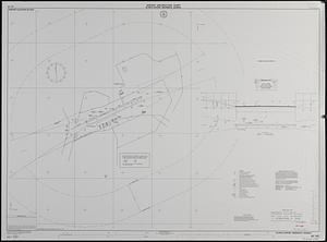
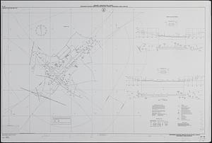
Airport obstruction chart OC 167, Glynco Jetport, Brunswick, Georgia
352.
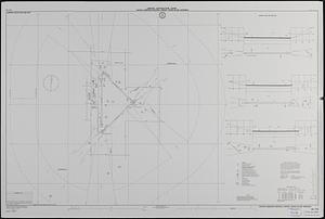
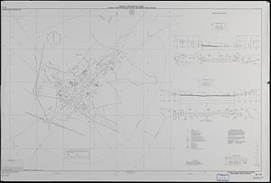
Airport obstruction chart OC 173, Central Nebraska Regional Airport, Grand Island, Nebraska
353.
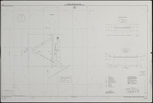
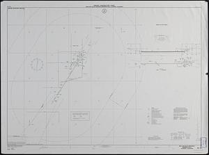
Airport obstruction chart OC 175, Great Bend Municipal Airport, Great Bend, Kansas
354.
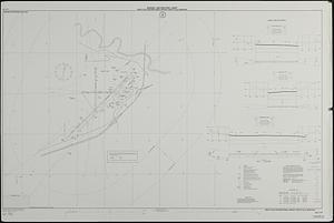
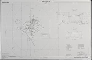
Airport obstruction chart OC 177, Great Falls International Airport, Great Falls, Montana
355.
Airport obstruction chart OC 178, Greensboro-Highpoint-Winston Salem Regional Airport, Greensboro, North Carolina
356.
Airport obstruction chart OC 178, Piedmont Triad International Airport, Greensboro, North Carolina
357.
Airport obstruction chart OC 18, San Luis Valley Regional/Bergman Field, Alamosa, Colorado
358.
Airport obstruction chart OC 180, Greenville Downtown Airport, Greenville, South Carolina
359.
Airport obstruction chart OC 181, Greenwood-Leflore Airport, Greenwood, Mississippi
360.
Airport obstruction chart OC 184, Toledo Express Airport, Toledo, Ohio
« Previous
Next »
1
2
…
32
33
34
35
36
37
38
39
40
…
1,544
1,545