Toggle navigation
LMEC Home
Exhibitions
Georeferencing
Tools for Teachers
Collections
My Favorites
Sign Up / Log In
Search
Search the map portal
Map Collection
Map Collection
Map Sets
Search
Search
Search for
Search In
All Fields
Creator
Title
Subject
Place
Search All Digital Collections
Advanced Search
50 Results
My Search
Start Over
"G1005 .P7 1525"
Remove constraint "G1005 .P7 1525"
Filter your Search
Place
Europe
10
Asia
8
Africa
5
France
4
Germany
4
Greece
3
India
3
Italy
3
more
Place
»
Topic
Africa--Maps--Early works to 1800
3
Eastern Hemisphere--Maps--Early works to 1800
3
France--Maps--Early works to 1800
3
Greece--Maps--Early works to 1800
3
India--Maps--Early works to 1800
3
Romania--Maps--Early works to 1800
3
Ukraine--Maps--Early works to 1800
3
Albania--Maps--Early works to 1800
2
more
Topic
»
Date
1525
50
Creator
Ptolemy, 2nd cent
45
Fries, Lorenz, ca. 1490-1531
3
Grüninger, Johann, -1532?
2
Ptolemy, active 2nd century
2
Format
Maps/Atlases
50
Georeferenced
No
50
Collection
Norman B. Leventhal Map Center Collection
50
Available to use
No known restrictions
50
Search Constraints
Sort by relevance
relevance
title
date (asc)
date (desc)
Number of results to display per page
20 per page
10
per page
20
per page
50
per page
100
per page
View results as:
grid view
map view
Search Results
41.
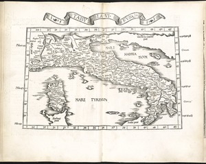
Tabula VI Europae
42.
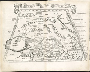
Tabula VII Asiae
43.
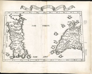
Tabula VII Europae
44.
Tabula VIII Asiae
45.
Tabula VIII Europae
46.
Tabula X Asiae
47.
Tabula X Europae
48.
Tabula XI Asiae
49.
Tabula XII Asiae
50.
[The World]
‹ Prev
Next ›
1
2
3


![[The World]](https://bpldcassets.blob.core.windows.net/derivatives/images/commonwealth:9g54xj67p/image_thumbnail_300.jpg)