Toggle navigation
LMEC Home
Collections
My Favorites
Exhibitions
Georeferencing
Tools for Teachers
Sign Up / Log In
Search
Search the map portal
Search
Search
Search for
Search in
All Fields
Title
Subject
Place
Creator
Search All Digital Collections
Advanced Search
15351 Results
Filter your Search
Show filters
Hide filters
Place
North and Central America
12,055
United States
10,013
Massachusetts
3,954
Suffolk (county)
1,734
Boston
1,684
Europe
1,461
Canada
1,032
New York
890
more
Place
»
Topic
Boston (Mass.)--Maps
769
City planning--Massachusetts--Boston--Maps
421
United States--Maps
353
United States--History--Revolution, 1775-1783--Maps
331
Real property--Massachusetts--Boston--Maps
260
Urban renewal--Massachusetts--Boston--Maps
254
Massachusetts--Maps
249
North America--Maps--Early works to 1800
242
more
Topic
»
Date
Begin
End
View distribution
Creator
United States. National Ocean Service
684
United States. Hydrographic Office
599
Boston Redevelopment Authority
404
Des Barres, Joseph F. W. (Joseph Frederick Wallet), 1722-1824
246
Jefferys, Thomas, -1771
188
Royal United Services Institute for Defence and Security Studies
160
George, III, King of Great Britain, 1738-1820
152
George, IV, King of Great Britain, 1762-1830
151
more
Creator
»
Format
Maps/Atlases
15,142
Manuscripts
985
Prints
109
Books
70
Drawings/Illustrations
44
Objects/Artifacts
18
Photographs
15
Ephemera
11
more
Format
»
Georeferenced
Yes
1,312
No
14,039
Collection
Norman B. Leventhal Map & Education Center Collection
9,467
American Revolutionary War-Era Maps
3,914
Boston and New England Maps
3,077
Urban Maps
2,564
Maritime Charts and Atlases
1,169
William L. Clements Library Collection
910
U.S. Government Documents Maps Collection
718
Library of Congress Collection
618
more
Collection
»
Available to use
No known restrictions
11,301
Creative Commons license
1,688
Sort
by date (asc)
relevance
title
date (asc)
date (desc)
recently added
Number of results to display per page
50
per page
per page
10
per page
20
per page
50
per page
100
per page
Search Results
101.
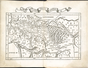
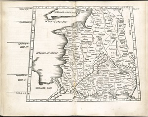
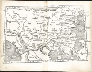
Tabu. provi. Rheni
102.
Tabu. provi. Rheni [verso]
103.
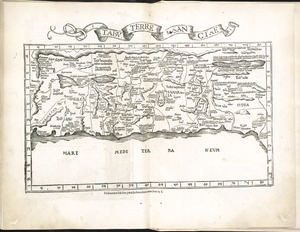
Tabu. terre Sanctae
104.
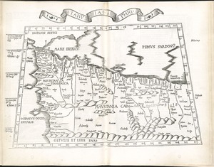
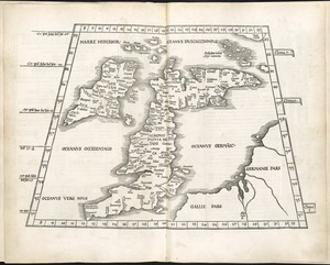
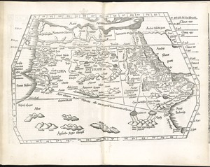
Tabula I Aphri
105.
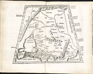
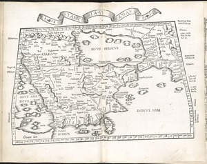
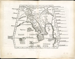
Tabula I Asiae
106.
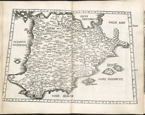
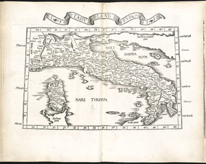
Tabula I Europae
107.
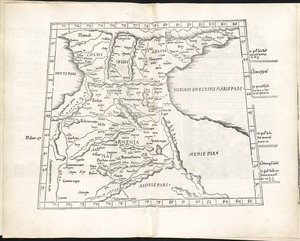
Tabula II Asiae
108.
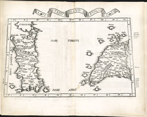
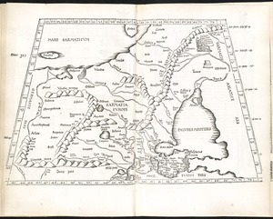
Tabula II Europae
109.
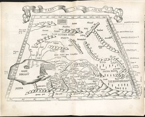
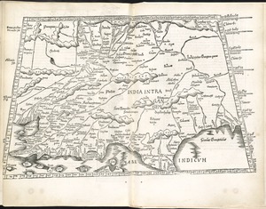
Tabula III Asiae
110.
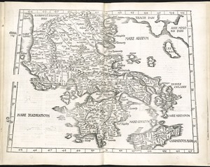
Tabula III Europae
111.
Tabula IIII Aphricae
112.
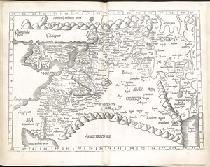
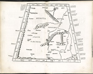
Tabula IIII Asiae
113.
Tabula IIII Europae
114.
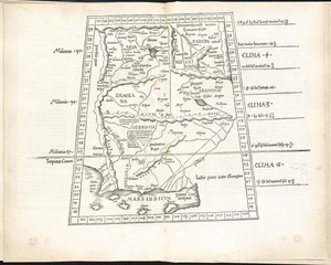
Tabula IX Asiae
115.
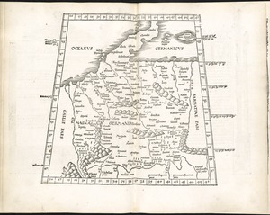
Tabula IX Europae
116.
Tabula moder. Gronlandiae et Russiae
117.
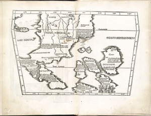
Tabula moder. Indiae Orientalis
118.
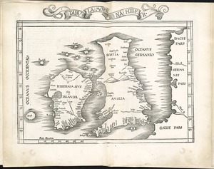
Tabula moderna Hiber
119.
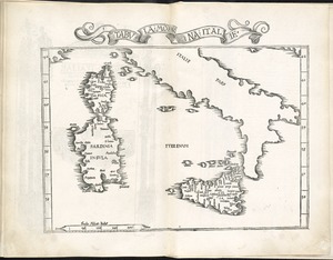
Tabula moderna Italie
120.
Tabula V Asiae
121.
Tabula V Europae
122.
Tabula VI Asiae
123.
Tabula VI Europae
124.
Tabula VII Asiae
125.
Tabula VII Europae
126.
Tabula VIII Asiae
127.
Tabula VIII Europae
128.
Tabula X Asiae
129.
Tabula X Europae
130.
Tabula XI Asiae
131.
Tabula XII Asiae
132.
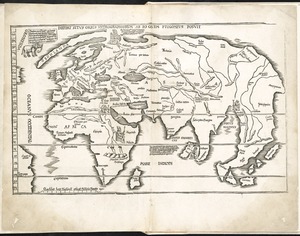
[The World]
133.
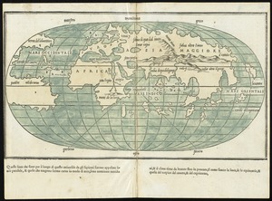
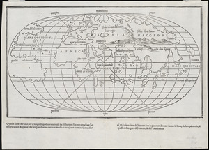
Oval map of the world
134.
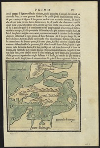
Scandinavia
135.
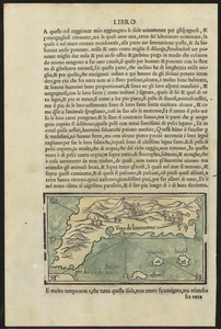
Terra de Lavoratore
136.
World map
137.
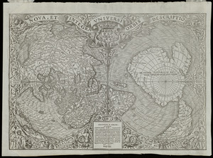
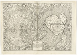
Noua, et integra vniuersi orbis descriptio
138.
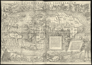
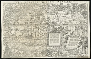
Typus cosmographicus uniuersalis
139.
Typus cosmographicus uniuersalis
140.
Nova, et integra universi orbis descriptio
141.
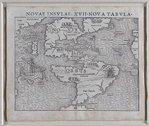
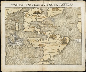
Novae insulae, XVII, nova tabula
142.
Novae insulae XVII, nova tabula
143.
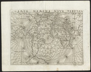
Carta marina nova tabula
144.
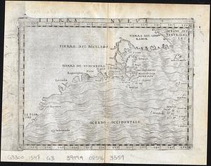
Tierra nveva
145.
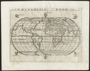
Universale novo
146.
Quam hic vides orbis imagine[m] lector ca[n]dide ea[m] ut posteriore[m] ita & eme[n]datiorem ijs que hactenus...
147.
Universalis de terrao orarium ex vera recen [...] traditione
148.
Atlantic Ocean
149.
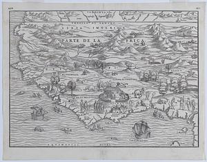
Illustrated map of parte de lAfrica
150.
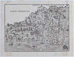
La Nuova Francia
« Previous
Next »
1
2
3
4
5
6
7
…
307
308