Toggle navigation
LMEC Home
Collections
My Favorites
Exhibitions
Georeferencing
Tools for Teachers
Sign Up / Log In
Search
Search the map portal
Search
Search
Search for
Search in
All Fields
Title
Subject
Place
Creator
Search All Digital Collections
Advanced Search
15446 Results
Filter your Search
Show filters
Hide filters
Place
North and Central America
12,095
United States
10,050
Massachusetts
3,968
Suffolk (county)
1,745
Boston
1,695
Europe
1,465
Canada
1,035
New York
890
more
Place
»
Topic
Boston (Mass.)--Maps
772
City planning--Massachusetts--Boston--Maps
423
United States--Maps
360
United States--History--Revolution, 1775-1783--Maps
331
Real property--Massachusetts--Boston--Maps
264
Urban renewal--Massachusetts--Boston--Maps
254
Massachusetts--Maps
250
North America--Maps--Early works to 1800
242
more
Topic
»
Date
Begin
End
View distribution
Creator
United States. National Ocean Service
729
United States. Hydrographic Office
600
Boston Redevelopment Authority
404
Des Barres, Joseph F. W. (Joseph Frederick Wallet), 1722-1824
246
Jefferys, Thomas, -1771
188
Royal United Services Institute for Defence and Security Studies
160
George, III, King of Great Britain, 1738-1820
152
George, IV, King of Great Britain, 1762-1830
151
more
Creator
»
Format
Maps/Atlases
15,233
Manuscripts
985
Prints
109
Books
73
Drawings/Illustrations
44
Objects/Artifacts
18
Ephemera
15
Photographs
15
more
Format
»
Georeferenced
Yes
1,312
No
14,134
Collection
Norman B. Leventhal Map & Education Center Collection
9,517
American Revolutionary War-Era Maps
3,914
Boston and New England Maps
3,095
Urban Maps
2,575
Maritime Charts and Atlases
1,171
William L. Clements Library Collection
910
U.S. Government Documents Maps Collection
763
Library of Congress Collection
618
more
Collection
»
Available to use
No known restrictions
11,396
Creative Commons license
1,688
Sort
by title
relevance
title
date (asc)
date (desc)
recently added
Number of results to display per page
20
per page
per page
10
per page
20
per page
50
per page
100
per page
Search Results
41.
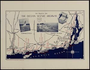
74 miles on the ocean scenic highway U.S. 1
42.
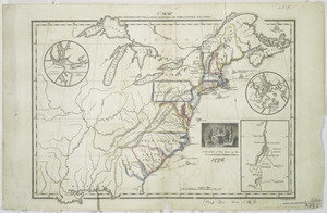
7th map to accompany Willards History of the United States
43.
[A chart of Boston Bay and vicinity]
44.
[A chart of New York Island & North River : East River, passage through Hell Gate, Flushing Bay, Hampstead Bay, Oyster,...
45.
[A colored map of the route between Albany and Oswego; drawn about 1756, on a scale of 2 miles to an inch]
46.
[A coloured chart of the upper part of Lake Erie at Fort Erie and a detailed plan of Fort Erie, together with three cross...
47.
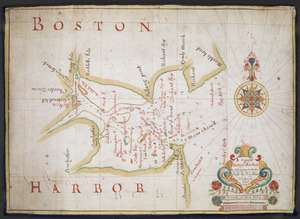
A= draught of Boston Harbor
48.
[A manuscript map of Isle Royalle]
49.
[A map of Fort Carillon and environs]
50.
[A map of Fort Carillon and environs]
51.
[A map of Lake Champlain and Lake George, showing the route from Fort Edward to Montreal]
52.
[A map of Lake Erie with the route southward from Fort Presqu'Isle to Fort Cumberland, with inset plans of Fort Pitt, Fort...
53.
[A map of Lake George from Fort William Henry to Ticonderoga]
54.
[A map of Nova Scotia showing the post roads]
55.
[A map of part of New York, comprehending the country between New York and Quebec, the river Connecticut, &c., to shew "the way...
56.
[A map of part of New York, comprehending the country between New York and Quebec, the river Connecticut, &c., to shew "the way...
57.
[A map of part of Pennsylvania & Maryland intended to shew, at one view, the several places proposed for opening a...
58.
[A map of the east coast of America from Newfoundland to the Bay of Honduras]
59.
[A map of the River Schohary with a plan and elevation of the new fort]
60.
[A map of the southern part of the Lake Champlain, from "Tienderoga fort" to Crown Point]
« Previous
Next »
1
2
3
4
5
6
7
…
772
773