Toggle navigation
LMEC Home
Collections
My Favorites
Exhibitions
Georeferencing
Tools for Teachers
Sign Up / Log In
Search
Search the map portal
Search
Search
Search for
Search in
All Fields
Title
Subject
Place
Creator
Search All Digital Collections
Advanced Search
517 Results
Search Constraints
My Search
Start Over
pennsylvania
Remove constraint pennsylvania
Filter your Search
Show filters
Hide filters
Place
North and Central America
511
United States
504
Pennsylvania
372
Philadelphia
81
Philadelphia (county)
81
Maryland
40
Allegheny (county)
39
New York
37
more
Place
»
Topic
Pennsylvania--Maps
53
Pennsylvania--Maps--Early works to 1800
39
Philadelphia (Pa.)--Maps
24
Philadelphia (Pa.)--Maps--Early works to 1800
22
Maryland--Maps
18
United States--History--Revolution, 1775-1783--Maps
17
Virginia--Maps
16
New Jersey--Maps--Early works to 1800
15
more
Topic
»
Date
Begin
End
View distribution
Creator
O.H. Bailey & Co
19
George, III, King of Great Britain, 1738-1820
16
George, IV, King of Great Britain, 1762-1830
15
Hutchins, Thomas, 1730-1789
15
Royal United Services Institute for Defence and Security Studies
15
United States. National Ocean Service
15
Jefferys, Thomas, -1771
14
Mitchell, S. Augustus, (Samuel Augustus), Jr
14
more
Creator
»
Format
Maps/Atlases
506
Manuscripts
66
Books
5
Photographs
3
Drawings/Illustrations
2
Prints
1
Georeferenced
Yes
34
No
483
Collection
American Revolutionary War-Era Maps
278
Norman B. Leventhal Map & Education Center Collection
255
William L. Clements Library Collection
64
Urban Maps
54
Library of Congress Collection
46
British Library Collection
36
Richard H. Brown Revolutionary War Map Collection at Mount Vernon
31
MacLean Collection Map Library
26
more
Collection
»
Available to use
No known restrictions
271
Creative Commons license
139
Sort
by relevance
relevance
title
date (asc)
date (desc)
recently added
Number of results to display per page
20
per page
per page
10
per page
20
per page
50
per page
100
per page
Search Results
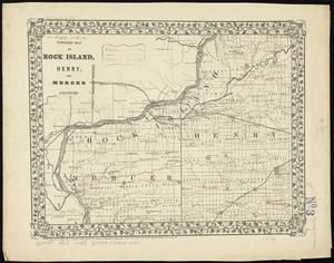
501.
Township map of Rock Island, Henry, and Mercer Counties
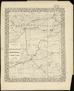
502.
Township map of Stephenson Winnebago, Ogle & Lee Counties
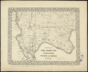
503.
Township map of Union, Johnson, Pope, Alexander, Pulaski, and Massac Counties
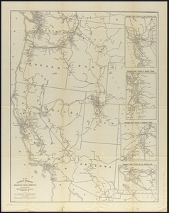
504.
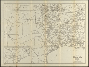
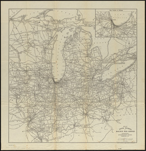
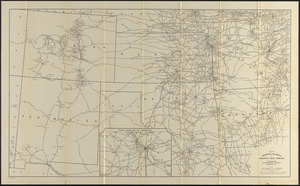
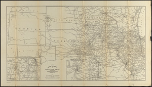
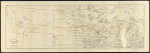
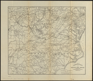
Map eighth division railway mail service
505.
Map eleventh division railway mail service
506.
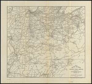
Map fifth division railway mail service
507.
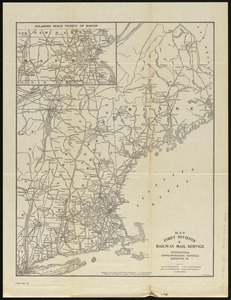
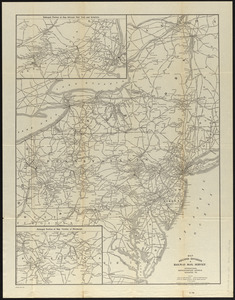
Map first division railway mail service
508.
Map fourth division railway mail service
509.
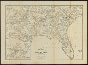
Map ninth division railway mail service
510.
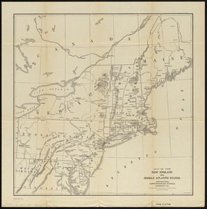
Map of the New England and Middle Atlantic States
511.
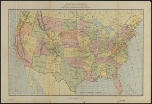
Map of the United States showing principal cities, rivers, and mountain ranges
512.
Map second division railway mail service
513.
Map seventh division railway mail service
514.
Map sixth division railway mail service
515.
Map tenth division railway mail service
516.
Map third division railway mail service
517.
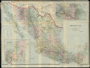
Mexico
« Previous
Next »
1
2
…
22
23
24
25
26