Search Constraints
Search Results
11852. Southington, Conn : 1878
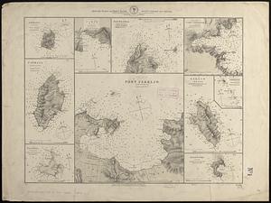
![[Southwest coast of Nova Scotia from Cape Sable to Cape St. Mary]](https://bpldcassets.blob.core.windows.net/derivatives/images/commonwealth:t722hs70t/image_thumbnail_300.jpg)
![[Southwest coast of Nova Scotia from Cape Sable to Cape St. Mary]](https://bpldcassets.blob.core.windows.net/derivatives/images/commonwealth:t722hs72c/image_thumbnail_300.jpg)
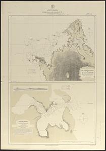
![[Southwest coast of Nova Scotia from Cape Sable to Cape St. Mary]](https://bpldcassets.blob.core.windows.net/derivatives/images/commonwealth:9g54xk749/image_thumbnail_300.jpg)
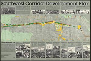
11859. Southwest corridor restudy
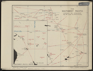
11860. The southwest Pacific

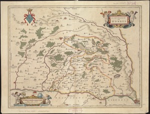
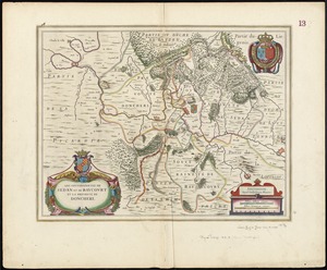
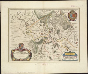
11862. La souverainete de Dombes

11865. La Spagnuola

11866. Spagnvola

11867. Spagnvola

11868. Spain & Portugal

11869. Spain and Portugal
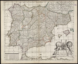
11870. Spain and Portugal

11871. Spain and Portugal


11877. Spanish North America


11896. Spencer

11897. Spencer, Mass : 1877


