Toggle navigation
LMEC Home
Exhibitions
Georeferencing
Tools for Teachers
Collections
My Favorites
Sign Up / Log In
Search
Search the map portal
Map Collection
Map Collection
Map Sets
Search
Search
Search for
Search In
All Fields
Creator
Title
Subject
Place
Search All Digital Collections
Advanced Search
13385 Results
Filter your Search
Place
North and Central America
9,353
United States
7,078
Suffolk (county)
1,664
Boston
1,621
Europe
1,035
Canada
949
Massachusetts
794
New York
532
more
Place
»
Topic
Boston (Mass.)--Maps
741
City planning--Massachusetts--Boston--Maps
418
United States--History--Revolution, 1775-1783--Maps
329
United States--Maps
315
Urban renewal--Massachusetts--Boston--Maps
254
Real property--Massachusetts--Boston--Maps
252
Massachusetts--Maps
219
Insurance surveys
197
more
Topic
»
Date
Date range begin
–
Date range end
Current results range from
1482
to
2023
View distribution
Creator
United States. Hydrographic Office
595
Boston Redevelopment Authority
403
Des Barres, Joseph F. W. (Joseph Frederick Wallet), 1722-1824
247
Royal United Services Institute for Defence and Security Studies
160
Jefferys, Thomas, -1771
154
George, III, King of Great Britain, 1738-1820
152
George, IV, King of Great Britain, 1762-1830
151
O.H. Bailey & Co
148
more
Creator
»
Format
Maps/Atlases
13,205
Manuscripts
985
Prints
102
Books
49
Drawings/Illustrations
44
Photographs
15
Objects/Artifacts
13
Documents
7
more
Format
»
Georeferenced
Yes
979
No
12,406
Collection
Norman B. Leventhal Map Center Collection
8,891
American Revolutionary War-Era Maps
3,305
Boston and New England Maps
2,804
Urban Maps
2,397
Maritime Charts and Atlases
1,150
William L. Clements Library Collection
910
Library of Congress Collection
618
Boston Redevelopment Authority Collection
475
more
Collection
»
Available to use
No known restrictions
9,952
Creative Commons license
1,677
Search Constraints
Sort by relevance
relevance
title
date (asc)
date (desc)
Number of results to display per page
50 per page
10
per page
20
per page
50
per page
100
per page
View results as:
grid view
map view
Search Results
11751.
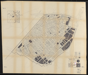
South End renewal area : locality map
11752.
South End renewal area : location map
11753.
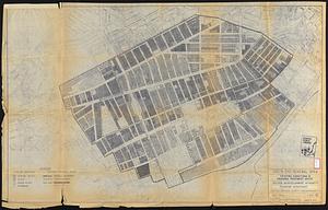
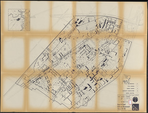
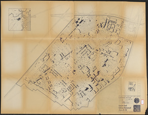
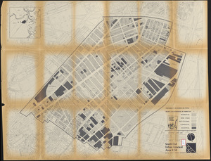
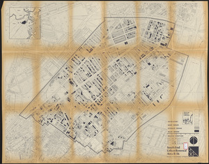
South End renewal area : existing conditions & proposed treatment areas
11754.
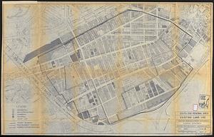
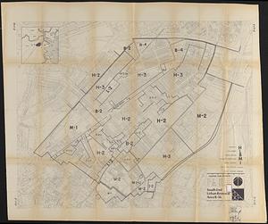
South End renewal area : existing land use
11755.
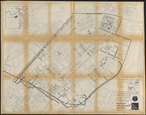
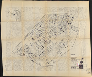
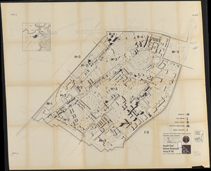
South End renewal area : blighted areas
11756.
South End urban renewal area project Mass. r-56 : site preparation contract no. 16 street lighting and drainage
11757.
South End urban renewal area project Mass. r-56 site preparation contract no. 50 Worcester Square Park reconstruction
11758.
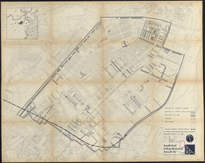
South End urban renewal area R-56 : property map
11759.
South End urban renewal area R-56 : property map
11760.
South End urban renewal area R-56 : property map
11761.
South End urban renewal area R-56 : proposed rights-of-way
11762.
South End urban renewal area R-56 : re-use parcels
11763.
South End urban renewal area R-56 : re-use parcels
11764.
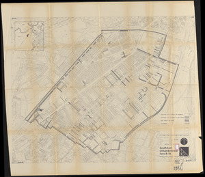
South End urban renewal area R-56 : proposed land use
11765.
South End urban renewal area R-56 : zone district changes
11766.
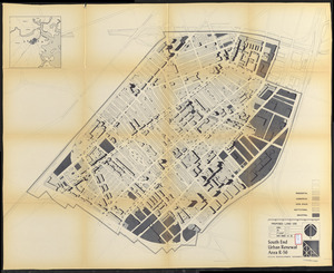
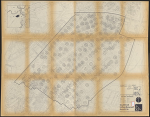
South End urban renewal area R-56 : proposed land use
11767.
South End urban renewal area R-56 : zone district changes
11768.
South End urban renewal area R-56 : proposed land use
11769.
South End urban renewal area R-56 : illustrative site plan
11770.
South End urban renewal area R-56 : proposed rights-of-way
11771.
South End urban renewal area R-56 : proposed treatment areas
11772.
South End urban renewal area R-56 : proposed rights-of-way
11773.
South End urban renewal area R-56 : building deficiencies
11774.
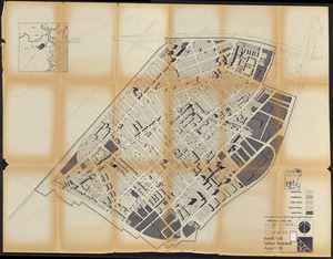
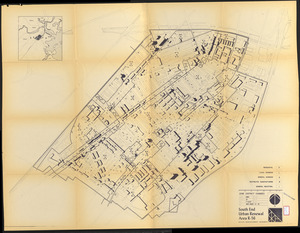
South End urban renewal area R-56 : existing land use
11775.
South End urban renewal area R-56 : building conditions
11776.
South End urban renewal area R-56 : building conditions
11777.
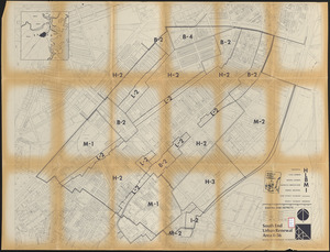
South End urban renewal area R-56 : existing zone districts
11778.
South End urban renewal area R-56 : existing zone districts
11779.
South End urban renewal area R-56 : existing zone districts
11780.
A South Ender's view of the world
11781.
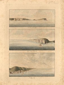
South entrance of Grand Passage : Cape St. Mary, N:E: one mile ; St. Mary's Bay
11782.
South entrance of Grand Passage ; Cape St. Mary n.e. one mile ; St. Marys Bay
11783.
South extreme of America, Hermite Island, St. Martin Cove : from British surveys corrected to 1877
11784.
South extreme of America, Wollaston Islands : from British surveys corrected to 1878
11785.
South Framingham, Massachusetts
11786.
South Framingham, Massachusetts : 1882
11787.
South Germany, (Bavaria, &c.)
11788.
South Italy
11789.
South Manchuria
11790.
South Mountain showing the positions of the forces of the United States and the enemy during the battle fought by the Army of...
11791.
South New Market : Rockingham County, N.H. 1884
11792.
South Norwalk and Norwalk, Conn : 1875
11793.
South Pacific
11794.
South Pacific, Fiji or Viti Group, Matuku ; Matuku Harbor
11795.
South Pacific, Fiji or Viti Group, Moala
11796.
South Pacific, Fiji or Viti Group, Nairai & Mbatiki Islands
11797.
South Pacific, Fiji or Viti Group, Ngau Island and Mumbolithe Reef
11798.
South Pacific, Fiji or Viti Group, Totoya
11799.
South Pacific, harbors in the Solomon Islands and in the neighboring groups : republication of Brit. Admty. chart no. 769
11800.
South Pacific, Juan Fernandez Id., Cumberland Bay : from a French survey in 1870
‹ Prev
Next ›
1
2
…
232
233
234
235
236
237
238
239
240
…
267
268