Toggle navigation
LMEC Home
Collections
My Favorites
Exhibitions
Georeferencing
Tools for Teachers
Sign Up / Log In
Search
Search the map portal
Search
Search
Search for
Search in
All Fields
Title
Subject
Place
Creator
Search All Digital Collections
Advanced Search
15351 Results
Filter your Search
Show filters
Hide filters
Place
North and Central America
12,055
United States
10,013
Massachusetts
3,954
Suffolk (county)
1,734
Boston
1,684
Europe
1,461
Canada
1,032
New York
890
more
Place
»
Topic
Boston (Mass.)--Maps
769
City planning--Massachusetts--Boston--Maps
421
United States--Maps
353
United States--History--Revolution, 1775-1783--Maps
331
Real property--Massachusetts--Boston--Maps
260
Urban renewal--Massachusetts--Boston--Maps
254
Massachusetts--Maps
249
North America--Maps--Early works to 1800
242
more
Topic
»
Date
Begin
End
View distribution
Creator
United States. National Ocean Service
684
United States. Hydrographic Office
599
Boston Redevelopment Authority
404
Des Barres, Joseph F. W. (Joseph Frederick Wallet), 1722-1824
246
Jefferys, Thomas, -1771
188
Royal United Services Institute for Defence and Security Studies
160
George, III, King of Great Britain, 1738-1820
152
George, IV, King of Great Britain, 1762-1830
151
more
Creator
»
Format
Maps/Atlases
15,142
Manuscripts
985
Prints
109
Books
70
Drawings/Illustrations
44
Objects/Artifacts
18
Photographs
15
Ephemera
11
more
Format
»
Georeferenced
Yes
1,312
No
14,039
Collection
Norman B. Leventhal Map & Education Center Collection
9,467
American Revolutionary War-Era Maps
3,914
Boston and New England Maps
3,077
Urban Maps
2,564
Maritime Charts and Atlases
1,169
William L. Clements Library Collection
910
U.S. Government Documents Maps Collection
718
Library of Congress Collection
618
more
Collection
»
Available to use
No known restrictions
11,301
Creative Commons license
1,688
Sort
by date (desc)
relevance
title
date (asc)
date (desc)
recently added
Number of results to display per page
20
per page
per page
10
per page
20
per page
50
per page
100
per page
Search Results
21.
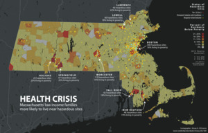
Health crisis : Massachusetts' low income families more likely to live near hazardous sites
22.
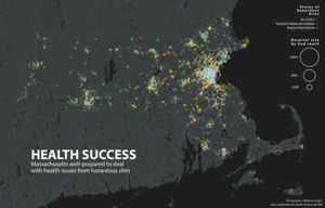
Health success : Massachusetts well-prepared to deal with health issues from hazardous sites
23.
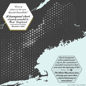
A hexagonal chart of yearly snowfall in New England up through and including November 1, 2020
24.
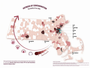
Hotbeds of contamination : the toxicity of our cities
25.
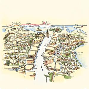
Jamaica Plain view of the world
26.
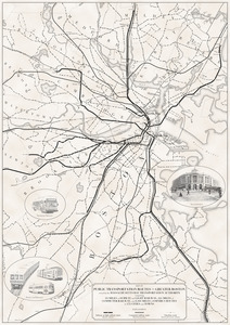
Map of public transportation routes in Greater Boston served by the Massachusetts Bay Transportation Authority comprising 64...
27.
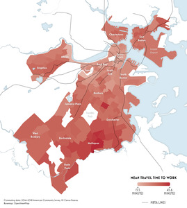
Mean travel time to work
28.
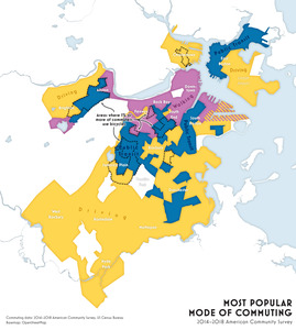
Most popular mode of commuting : 2014-2018 American Community Survey
29.
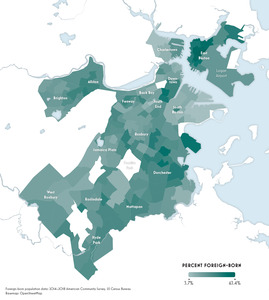
Percent foreign-born
30.
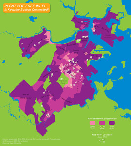
Plenty of free wi-fi is keeping Boston connected!
31.
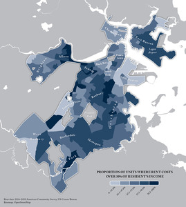
Proportion of units where rent costs over 30% of resident's income
32.
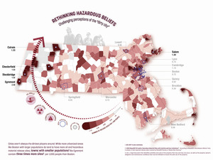
Rethinking hazardous beliefs : challenging perceptions of the "dirty city"
33.
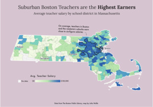
Suburban Boston teachers are the highest earners
34.
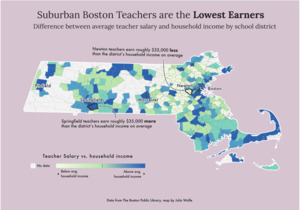
Suburban Boston teachers are the lowest earners
35.
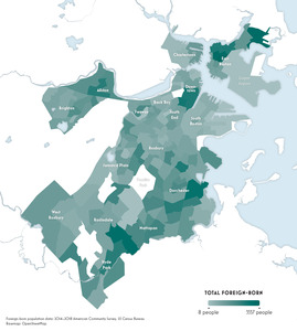
Total foreign-born
36.
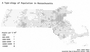
A type-ology of population in Massachusetts
37.
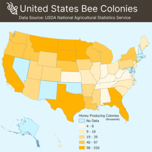
United States bee colonies
38.
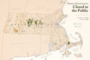
Western Massachusetts closed to the public
39.
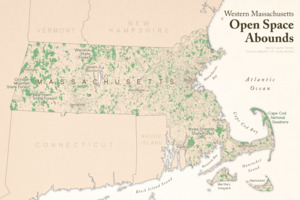
Western Massachusetts open space abounds
40.
The 2100 project : an atlas for the Green New Deal
« Previous
Next »
1
2
3
4
5
6
…
767
768