Search Constraints
Search Results


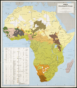
109. Sudan


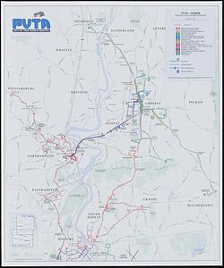
120. PVTA bus map & guide
![Town of Plymouth [land development planning]](https://bpldcassets.blob.core.windows.net/derivatives/images/commonwealth:tt44v120f/image_thumbnail_300.jpg)

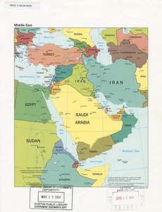
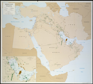
125. Middle East


130. Maps of Beverly


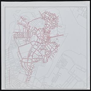
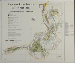
![[Character conversion print errors on] Draft working map Neponset River estuary](https://bpldcassets.blob.core.windows.net/derivatives/images/commonwealth:mc87v2589/image_thumbnail_300.jpg)

143. Haiti


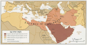
149. Age of the Caliphs

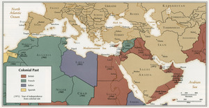
151. Colonial Past
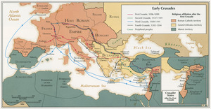
152. Early Crusades

153. East Asia


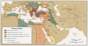
157. Ottoman Empire


160. Asia


175. Waterfront skyline