Toggle navigation
LMEC Home
Exhibitions
Georeferencing
Tools for Teachers
Collections
My Favorites
Sign Up / Log In
Search
Search the map portal
Map Collection
Map Collection
Map Sets
Search
Search
Search for
Search In
All Fields
Creator
Title
Subject
Place
Search All Digital Collections
Advanced Search
13385 Results
Filter your Search
Place
North and Central America
9,353
United States
7,078
Suffolk (county)
1,664
Boston
1,621
Europe
1,035
Canada
949
Massachusetts
794
New York
532
more
Place
»
Topic
Boston (Mass.)--Maps
741
City planning--Massachusetts--Boston--Maps
418
United States--History--Revolution, 1775-1783--Maps
329
United States--Maps
315
Urban renewal--Massachusetts--Boston--Maps
254
Real property--Massachusetts--Boston--Maps
252
Massachusetts--Maps
219
Insurance surveys
197
more
Topic
»
Date
Date range begin
–
Date range end
Current results range from
1482
to
2023
View distribution
Creator
United States. Hydrographic Office
595
Boston Redevelopment Authority
403
Des Barres, Joseph F. W. (Joseph Frederick Wallet), 1722-1824
247
Royal United Services Institute for Defence and Security Studies
160
Jefferys, Thomas, -1771
154
George, III, King of Great Britain, 1738-1820
152
George, IV, King of Great Britain, 1762-1830
151
O.H. Bailey & Co
148
more
Creator
»
Format
Maps/Atlases
13,205
Manuscripts
985
Prints
102
Books
49
Drawings/Illustrations
44
Photographs
15
Objects/Artifacts
13
Documents
7
more
Format
»
Georeferenced
Yes
979
No
12,406
Collection
Norman B. Leventhal Map Center Collection
8,891
American Revolutionary War-Era Maps
3,305
Boston and New England Maps
2,804
Urban Maps
2,397
Maritime Charts and Atlases
1,150
William L. Clements Library Collection
910
Library of Congress Collection
618
Boston Redevelopment Authority Collection
475
more
Collection
»
Available to use
No known restrictions
9,952
Creative Commons license
1,677
Search Constraints
Sort by date (desc)
relevance
title
date (asc)
date (desc)
Number of results to display per page
50 per page
10
per page
20
per page
50
per page
100
per page
View results as:
grid view
map view
Search Results
9601.
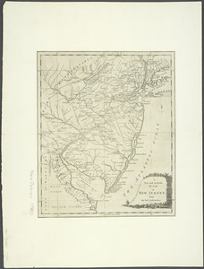
A New and accurate map of New Jersey : from the best authorities
9602.
A new and accurate map of New Jersey, from the best authorities
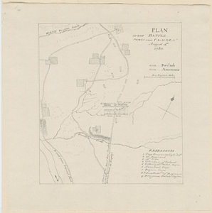
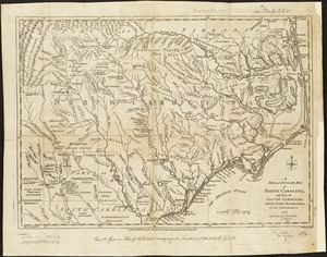
9603.
A new and accurate map of North Carolina, and part of South Carolina, with the field of battle between Earl Cornwalis and...
9604.
A New and accurate map of the chief parts of South Carolina, and Georgia
9605.
A new and accurate map of the colony of Massachusets Bay, in North America, from a late survey
9606.
A new and accurate map of the colony of Massachusets Bay, in North America, from a late survey
9607.
A new and accurate map of the province of New York and part of the Jerseys, New England and Canada, shewing the scenes of our...
9608.
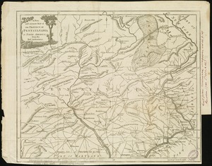
A new and accurate map of the province of Pennsylvania in North America, from the best authorities
9609.
A New and accurate map of Virginia : and part of Maryland and Pennsylvania
9610.
A new and correct map of North America : in which the places of the principal engagements during the present war are accurately...
9611.
A new and correct map of North America : in which the places of the principal engagements during the present war are accurately...
9612.
A New map of the province of Maryland in North America
9613.
Nieuwe en zeer accuraate generaale caart van de twee rievieren Berbice en Canje met alle desselfs plantagien en gronden op...
9614.
North America
9615.
The north point of Grandmanan Island in the bay Fundy bearing e.n.e distant two leagues ; A view of Campo Bello at the entrance...
9616.
The north point of Grandmanan Island in the bay Fundy bearing e.n.e distant two leagues ; A view of Campo Bello at the entrance...
9617.
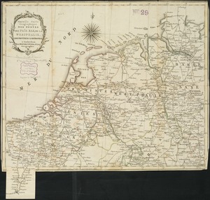
Nouvelle carte geographique des postes des Païs Bas, de la Westphalie, & des provinces limitrophes
9618.
Operations in America : No. 2
9619.
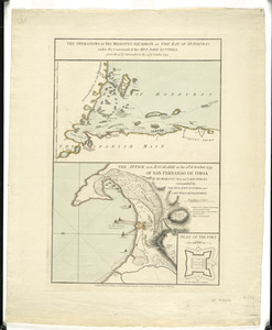
The operations of His Majesty's squadron in the Bay of Honduras, under the command of the Hon. John Luttrell from the 15th of...
9620.
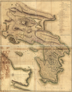
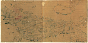
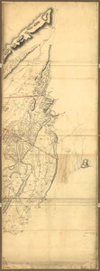
[Panoramic view of Newport, Rhode Island and the harbor showing the position of the French fleet and troop encampments]
9621.
Part of modern Brunswick County
9622.
Part of modern Brunswick County
9623.
Part of modern Charleston County
9624.
Part of the modern counties of Currituck, Camden, and Pasquotank, North Carolina
9625.
Part of the modern counties of Hudson and Bergen, New Jersey
9626.
Partie occidentale du Canada, : contenant les cinq Grands Lacs, avec les pays circonvoisins
9627.
Partie occidentale du Canada contenant les cinqs grands lac [sic], avec les pays criconvoisins [sic]
9628.
[Plan de Gibraltar]
9629.
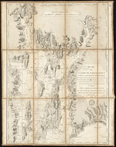
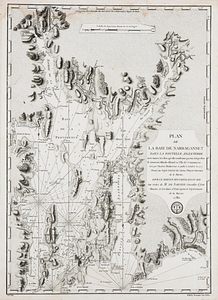
Plan de la baie de Narraganset dans la Nouvelle Angleterre : avec toutes les îles qu'elle renferme parmi lesquelles se...
9630.
Plan de la baie de Narragansett dans la Nouvelle Angleterre avec toutes les îles qu'elle renferme parmi lesquelles se trouvent...
9631.
Plan de la position de l'armée françoise autour de Newport et du mouillage de l'escadre dans la rade de cette ville
9632.
Plan de la ville de Charlestown, de ses retranchements et du siege faits par les Anglois en 1780
9633.
Plan de la ville, du port, et de la rade de New-port et Rhode Island : Debarquement en 1780
9634.
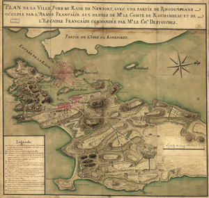
Plan de la ville, port, et rade de Newport : avec une partie de Rhode-Island occupée par l'armée française aux ordres de Mr....
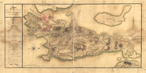
9635.
Plan de Rhodes-Island, et position de l'armée françoise a Newport
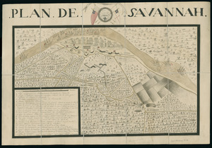
9636.
Plan de Savannah
9637.
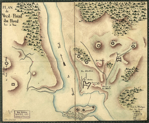
Plan de West-Point du nord, levé a vue
9638.
Plan du Môle St. Nicolas
9639.
Plan du superbe quartier neuf appellé le Bays de Coustard ou sont representées les nouvelles distributions de terre faitts en...
9640.
Plan general des operations de l'Armée Britanique contre les rebelles dans l'Amerique : depuis l'arrivée des troupes...
9641.
A Plan of Charles Town the capitol of South Carolina, : with the harbour, islands, and forts; the attack on Fort Sulivan, by...
9642.
Plan of Charleston and its defenses 1780
9643.
Plan of Damons land
9644.
Plan of ground about Wilmington
9645.
Plan of Isle aux Noix at the north end of Lake Champlain 1780
9646.
Plan of New York and Staten Islands with part of Long Island
9647.
Plan of the action at Huberton under Brigadier Genl. Frazer, supported by Major Genl. Reidesel, on the 7th July 1777
9648.
Plan of the action at Huberton under Brigadier Genl. Frazer, supported by Major Genl. Reidesel, on the 7th July 1777
9649.
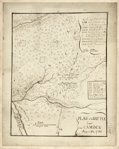
Plan of the battle fought near Camden, August 16th, 1780
9650.
Plan of the battle fought near Camden August 16th 1780
‹ Prev
Next ›
1
2
…
189
190
191
192
193
194
195
196
197
…
267
268


![[Panoramic view of Newport, Rhode Island and the harbor showing the position of the French fleet and troop encampments]](https://bpldcassets.blob.core.windows.net/derivatives/images/commonwealth:dz010v493/image_thumbnail_300.jpg)

![Partie occidentale du Canada contenant les cinqs grands lac [sic], avec les pays criconvoisins [sic]](https://bpldcassets.blob.core.windows.net/derivatives/metadata/commonwealth-oai:tx31vg299/image_thumbnail_300.jpg)
![[Plan de Gibraltar]](https://bpldcassets.blob.core.windows.net/derivatives/images/commonwealth:z603vt83t/image_thumbnail_300.jpg)