Toggle navigation
LMEC Home
Exhibitions
Georeferencing
Tools for Teachers
Collections
My Favorites
Sign Up / Log In
Search
Search the map portal
Map Collection
Map Collection
Map Sets
Search
Search
Search for
Search In
All Fields
Creator
Title
Subject
Place
Search All Digital Collections
Advanced Search
13385 Results
Filter your Search
Place
North and Central America
9,353
United States
7,078
Suffolk (county)
1,664
Boston
1,621
Europe
1,035
Canada
949
Massachusetts
794
New York
532
more
Place
»
Topic
Boston (Mass.)--Maps
741
City planning--Massachusetts--Boston--Maps
418
United States--History--Revolution, 1775-1783--Maps
329
United States--Maps
315
Urban renewal--Massachusetts--Boston--Maps
254
Real property--Massachusetts--Boston--Maps
252
Massachusetts--Maps
219
Insurance surveys
197
more
Topic
»
Date
Date range begin
–
Date range end
Current results range from
1482
to
2023
View distribution
Creator
United States. Hydrographic Office
595
Boston Redevelopment Authority
403
Des Barres, Joseph F. W. (Joseph Frederick Wallet), 1722-1824
247
Royal United Services Institute for Defence and Security Studies
160
Jefferys, Thomas, -1771
154
George, III, King of Great Britain, 1738-1820
152
George, IV, King of Great Britain, 1762-1830
151
O.H. Bailey & Co
148
more
Creator
»
Format
Maps/Atlases
13,205
Manuscripts
985
Prints
102
Books
49
Drawings/Illustrations
44
Photographs
15
Objects/Artifacts
13
Documents
7
more
Format
»
Georeferenced
Yes
979
No
12,406
Collection
Norman B. Leventhal Map Center Collection
8,891
American Revolutionary War-Era Maps
3,305
Boston and New England Maps
2,804
Urban Maps
2,397
Maritime Charts and Atlases
1,150
William L. Clements Library Collection
910
Library of Congress Collection
618
Boston Redevelopment Authority Collection
475
more
Collection
»
Available to use
No known restrictions
9,952
Creative Commons license
1,677
Search Constraints
Sort by relevance
relevance
title
date (asc)
date (desc)
Number of results to display per page
50 per page
10
per page
20
per page
50
per page
100
per page
View results as:
grid view
map view
Search Results
9601.
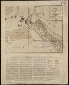
A plan of the attack of Fort Sulivan, the key of Charlestown, in South Carolina, on the 28th. of June 1776 : by His Majesty's...
9602.
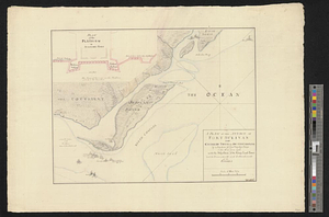
A plan of the attack of Fort Sullivan near Charles Town in South Carolina by a squadron of his majesty's ships on the 28th of...
9603.
A plan of the attack of Fort Sullivan, near Charles Town in South Carolina, by a squadron of his majesty's ships on the 28th of...
9604.
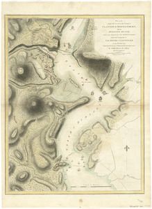
Plan of the attack of the Forts Clinton & Montgomery, upon Hudsons River which were stormed by His Majestys forces under the...
9605.
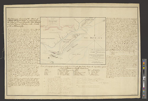
Plan of the attack on Fort William Henry and Ticonderoga : showing the road from Fort Edward, Montcalm's camp and wharf of...
9606.
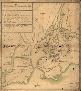
Plan of the attack the rebels on Long Island, by an officer of the Army
9607.
A plan of the attacks against Fort Miflin on Mud Island : which surrendered 16th, November 1777 to the Kings troops under the...
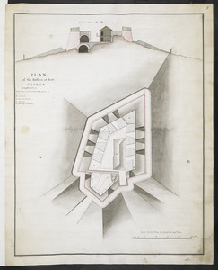
9608.
PLAN of the Bastion at Fort George
9609.
Plan of the Battery on the South Shore Erected against Fort Levy on the 21. of August 1760
9610.
Plan of the battle and situation of the British and French armys on the Heights of Abraham the 28th: of April 1760 : repetition...
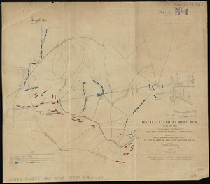
9611.
Plan of the battle field at Bull Run, July 21st 1861 : to accompany the report of Brigr. Genl. Irvin McDowell, commanding ; map 1
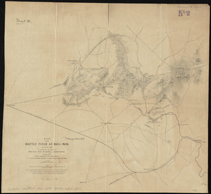
9612.
Plan of the battle field at Bull Run, July 21st 1861 : to accompany the report of Brigr. Genl. Irvin McDowell, commanding ; map 2
9613.
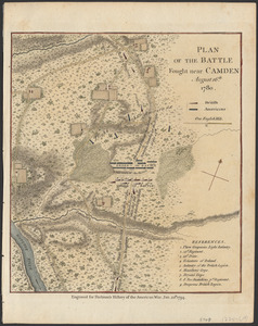
Plan of the battle fought near Camden, August 16th, 1780
9614.
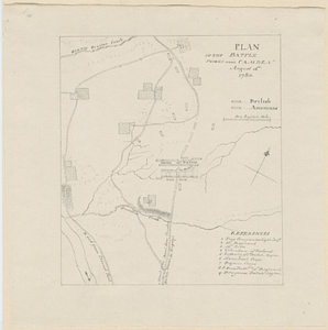
Plan of the battle fought near Camden August 16th, 1780
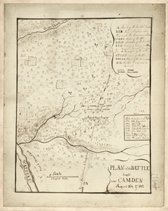
9615.
Plan of the battle fought near Camden August 16th 1780
9616.
Plan of the battle fought on the 28th of April 1760 upon the height of Abraham near Quebec, between the British troops...
9617.
Plan of the Battle fought on the Plains of Abraham, September the 13th 1759
9618.
Plan of the battle fought the 28th of April 1760 upon the Height of Abraham near Quebec between the British troops garrisoned...
9619.
Plan of the battle near Bushy Run, gained by Colonel Bouquet over the Delawares, Shawanese, Mingoes, Wyandots, Mohikons,...
9620.
Plan of the battle near Bushy-Run gained by His Majesty's troops commanded by Colonel Henry Bouquet over the Delawares,...
9621.
A Plan of the Battle of Bunker Hill
9622.
Plan of the Battle of Gum Swamp alias Sutton Wood, on the 16th August 1780 between the royal army, 1600, commanded by Lieut:...
9623.
Plan of the battle of Monmouth, 28th of June, 78
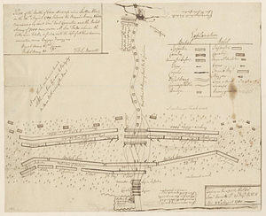
9624.
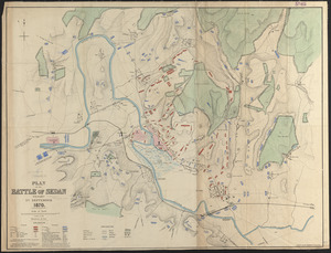
Plan of the battle of Sedan fought 1st September 1870
9625.
Plan of the battle, on Bunker's Hill : fought on the 17th of June 1775
9626.
Plan of the battle, on Bunker's Hill : fought on the 17th of June 1775
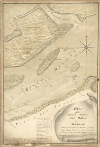
9627.
[Plan of the battles of Saratoga]
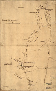
9628.
A plan of the bay and harbor of Boston : surveyed agreeably to the orders and instructions of the Right Honorable the Lords...
9629.
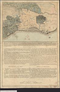
Plan of the bay of Saldanha on the S.W. coast of Africa shewing the opperations [sic] of the squadron of Commodore Johnstone,...
9630.
Plan of the bay of Tortuga
9631.
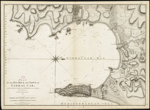
Plan of the bay, rock and town of Gibraltar, from an actual survey by an officer who was at Gibraltar from 1769 to 1775
9632.
Plan of the British attack on Mud Island, Pennsylvania
9633.
Plan of the Brooks estate corner of Court & Washington Street : to be sold at public auction, at the Merchants Exchange Reading...
9634.
Plan of the burnt district : showing proposed improvements in streets. Nov. 12th 1872
9635.
Plan of the camp and battle of Alamance the 16 May 1771 between the provincials of Nth: Carolina, commanded by his excellency...
9636.
Plan of the cemetery of Mount Auburn
9637.
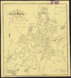
Plan of the central part of the city of Worcester
9638.
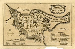
A plan of the city & fortifications of Louisbourg
9639.
A plan of the city & fortifications of Louisbourg
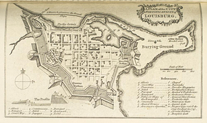
9640.
A Plan of the city & fortifications of Louisburg
9641.
A plan of the city & harbor of Louisburg
9642.
Plan of the city & harbour of Havanna, capital of Cuba
9643.
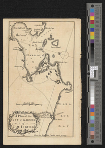
A plan of the city & harbour of Louisburg : shewing that part of Gabarus Bay in which the English landed, also their encampment...
9644.
A plan of the city and environs of New York in North America
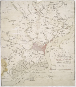
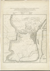
9645.
A plan of the city and environs of Philadelphia
9646.
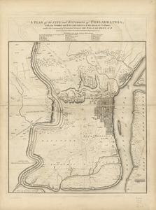
A plan of the city and environs of Philadelphia : with the works and encampments of His Majesty's forces under the command of...
9647.
A plan of the city and environs of Philadelphia : with the works and encampments of His Majesty's forces under the command of...
9648.
A plan of the city and environs of Philadelphia
9649.
A plan of the city and environs of Philadelphia
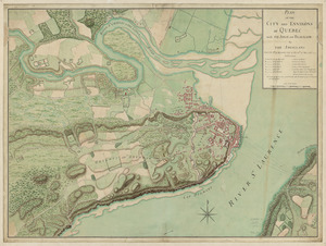
9650.
Plan of the city and environs of Quebec, with its siege and blockade by the Americans : from the 8th of December, 1775 to the...
‹ Prev
Next ›
1
2
…
189
190
191
192
193
194
195
196
197
…
267
268


![[Plan of the battles of Saratoga]](https://bpldcassets.blob.core.windows.net/derivatives/images/commonwealth:z603vw07d/image_thumbnail_300.jpg)

![Plan of the bay of Saldanha on the S.W. coast of Africa shewing the opperations [sic] of the squadron of Commodore Johnstone, in the attack upon the five Dutch East India ships on the morning of July 21st: AD: 1781](https://bpldcassets.blob.core.windows.net/derivatives/metadata/commonwealth-oai:7d27dp94q/image_thumbnail_300.jpg)