Toggle navigation
LMEC Home
Exhibitions
Georeferencing
Tools for Teachers
Collections
My Favorites
Sign Up / Log In
Search
Search the map portal
Map Collection
Map Collection
Map Sets
Search
Search
Search for
Search In
All Fields
Creator
Title
Subject
Place
Search All Digital Collections
Advanced Search
13385 Results
Filter your Search
Place
North and Central America
9,353
United States
7,078
Suffolk (county)
1,664
Boston
1,621
Europe
1,035
Canada
949
Massachusetts
794
New York
532
more
Place
»
Topic
Boston (Mass.)--Maps
741
City planning--Massachusetts--Boston--Maps
418
United States--History--Revolution, 1775-1783--Maps
329
United States--Maps
315
Urban renewal--Massachusetts--Boston--Maps
254
Real property--Massachusetts--Boston--Maps
252
Massachusetts--Maps
219
Insurance surveys
197
more
Topic
»
Date
Date range begin
–
Date range end
Current results range from
1482
to
2023
View distribution
Creator
United States. Hydrographic Office
595
Boston Redevelopment Authority
403
Des Barres, Joseph F. W. (Joseph Frederick Wallet), 1722-1824
247
Royal United Services Institute for Defence and Security Studies
160
Jefferys, Thomas, -1771
154
George, III, King of Great Britain, 1738-1820
152
George, IV, King of Great Britain, 1762-1830
151
O.H. Bailey & Co
148
more
Creator
»
Format
Maps/Atlases
13,205
Manuscripts
985
Prints
102
Books
49
Drawings/Illustrations
44
Photographs
15
Objects/Artifacts
13
Documents
7
more
Format
»
Georeferenced
Yes
979
No
12,406
Collection
Norman B. Leventhal Map Center Collection
8,891
American Revolutionary War-Era Maps
3,305
Boston and New England Maps
2,804
Urban Maps
2,397
Maritime Charts and Atlases
1,150
William L. Clements Library Collection
910
Library of Congress Collection
618
Boston Redevelopment Authority Collection
475
more
Collection
»
Available to use
No known restrictions
9,952
Creative Commons license
1,677
Search Constraints
Sort by title
relevance
title
date (asc)
date (desc)
Number of results to display per page
50 per page
10
per page
20
per page
50
per page
100
per page
View results as:
grid view
map view
Search Results
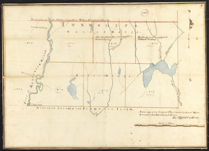
9501.
Plan of six townships in Ranges 1 and 2 north of Plymouth Claim, surveyor's name not given, dated February 15, 1794.
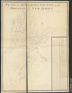
9502.
Plan of Somerset County in the province of New Jersey : copied from the original by Lieut. I. Hills, asst. engr
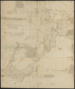
9503.
Plan of Somerset, surveyor's name not given, dated December 1830
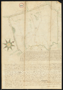
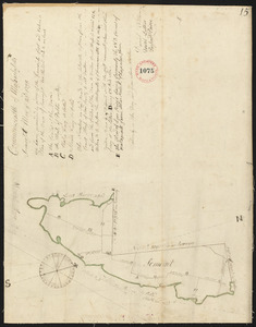
9504.
Plan of Somerset, surveyor's name not given, dated May 23, 1795.
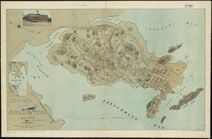
9505.
Plan of Sorrento, Maine
9506.
Plan of South Bay showing the Harbor Commissioners lines
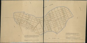
9507.
Plan of South Boston
9508.
A plan of South Boston and the owners lands, and the roads, taken from the original plan now in keeping, being the same plan...
9509.
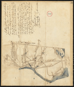
Plan of South Hadley made by Daniel Paine, dated March 1831
9510.
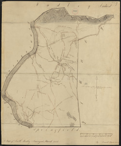
Plan of South Hadley, surveyor's name not given, dated November 1794.
9511.
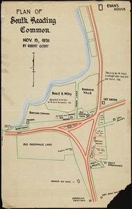
Plan of South Reading Common, Nov. 19, 1826
9512.
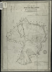
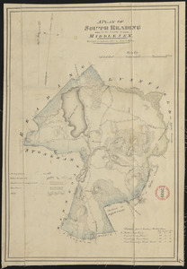
A plan of South Reading in the County of Middlesex
9513.
Plan of South Reading (Wakefield) made by John G. Hales, dated September 1830
9514.
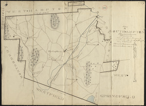
Plan of Southampton made by Justus Dwight, dated November 1830
9515.
Plan of Southampton surveyed by Daniel Barrett, dated December, 1794.
9516.
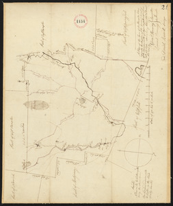
Plan of Southborough made by Larkin Newton, dated 1831
9517.
Plan of Southborough surveyed by Nathan Bridges dated December 15, 1794.
9518.
Plan of Southbridge made by Barlow Freeman, dated October, 1831
9519.
Plan of Southwick made by Amasa Holcomb, dated May, 1831
9520.
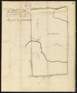
Plan of Southwick, surveyor's name not given, dated 1794-5.
9521.
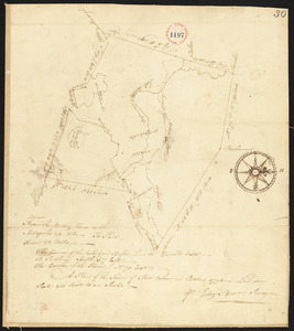
Plan of Spencer, surveyor's name not given, dated November 1830
9522.
Plan of Spencer, surveyor's name not given, dated October 1795.
9523.
Plan of Springfield
9524.
Plan of Springfield surveyed by Isreal Chapin, dated May 20, 1795.
9525.
Plan of Springfield, surveyor's name not given, dated 1830
9526.
Plan of St. Clairs battle ground
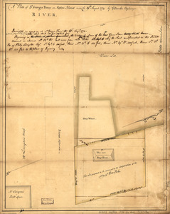
9527.
A plan of St. Georges Ferry on Nassau-Island made the 10th August 1774
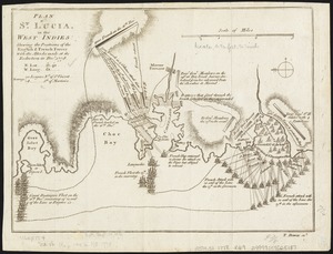
9528.
Plan of St. Lucia, in the West Indies : shewing the positions of the English and French forces with the attacks made at its...
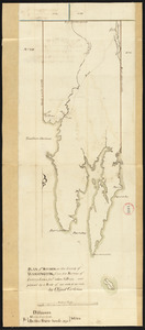
9529.
A plan of St. Mary's Harbour in the province of East Florida with the proposed post for the defence of it and the inland...
9530.
Plan of Standish, made by Moses Banks, dated February 23, 1795.
9531.
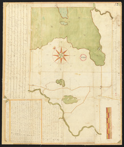
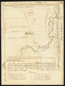
Plan of Starks, made by Samuel Weston, dated April 15, 1798.
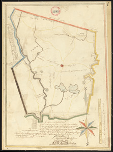
9532.
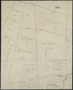
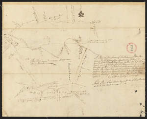
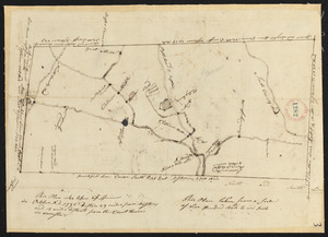
Plan of Stephen W. and Francis Jackson's farm in Newton, 6 1/2 miles from Boston
9533.
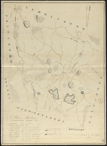
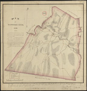
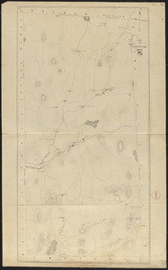
Plan of Sterling made by Moses Sawyer, dated 1830
9534.
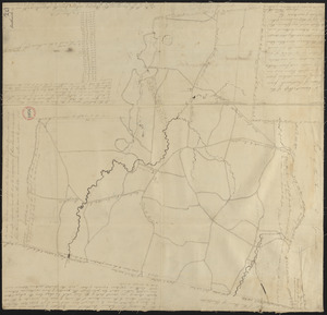
Plan of Sterling, surveyor's name not given, dated May 22, 1795.
9535.
Plan of Steuben surveyed by Osgood Carleton, dated 1794-5.
9536.
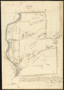
Plan of Stockbridge, surveyor's name not given, dated 1830
9537.
Plan of Stockbridge, surveyor's name not given, dated May 25, 1795.
9538.
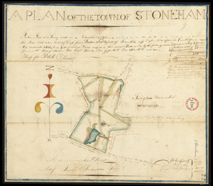
Plan of Stoneham made by John G. Hales, dated September 1830
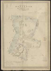
9539.
Plan of Stoneham surveyed by Luther Richardson, dated November 1794.
9540.
Plan of store lots near Haymarket Square : belonging to the estate of Josiah Quincy Jr. : to be sold by public auction on...
9541.
Plan of Stoughton made by Joseph Hodges, dated October 1830
9542.
Plan of Stoughton surveyed by Nathaniel Fisher, dated 1794.
9543.
Plan of Stow made by Augustus Tower, dated 1830
9544.
Plan of Stow surveyed by Jabez Brown, dated October 1794.
9545.
Plan of Strong, ME (Township No.3), surveyor's name not given, dated December 10, 1795.
9546.
Plan of Sturbridge made by David Wright, dated October 1831
9547.
Plan of Sturbridge surveyed by Job Hamant, dated May 6, 1795.
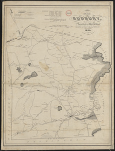
9548.
Plan of Sudbury made by William H. Wood, dated October 1830
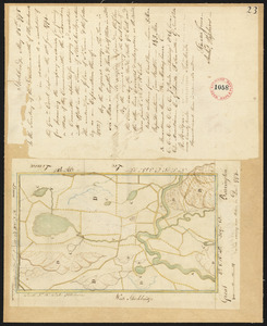
9549.
Plan of Sudbury surveyed by Matthias Mossman, dated April 17, 1795.
9550.
Plan of Suffolk Street District : showing estates & buildings as proposed to be taken by the City of Boston under the Act of...
‹ Prev
Next ›
1
2
…
187
188
189
190
191
192
193
194
195
…
267
268


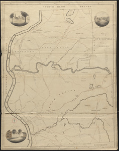

![A plan of St. Mary's Harbour in the province of East Florida with the proposed post for the defence of it and the inland navigation to St. Jones [sic] River](https://bpldcassets.blob.core.windows.net/derivatives/metadata/commonwealth-oai:cv43st68h/image_thumbnail_300.jpg)