Toggle navigation
LMEC Home
Exhibitions
Georeferencing
Tools for Teachers
Collections
My Favorites
Sign Up / Log In
Search
Search the map portal
Map Collection
Map Collection
Map Sets
Search
Search
Search for
Search In
All Fields
Creator
Title
Subject
Place
Search All Digital Collections
Advanced Search
13385 Results
Filter your Search
Place
North and Central America
9,353
United States
7,078
Suffolk (county)
1,664
Boston
1,621
Europe
1,035
Canada
949
Massachusetts
794
New York
532
more
Place
»
Topic
Boston (Mass.)--Maps
741
City planning--Massachusetts--Boston--Maps
418
United States--History--Revolution, 1775-1783--Maps
329
United States--Maps
315
Urban renewal--Massachusetts--Boston--Maps
254
Real property--Massachusetts--Boston--Maps
252
Massachusetts--Maps
219
Insurance surveys
197
more
Topic
»
Date
Date range begin
–
Date range end
Current results range from
1482
to
2023
View distribution
Creator
United States. Hydrographic Office
595
Boston Redevelopment Authority
403
Des Barres, Joseph F. W. (Joseph Frederick Wallet), 1722-1824
247
Royal United Services Institute for Defence and Security Studies
160
Jefferys, Thomas, -1771
154
George, III, King of Great Britain, 1738-1820
152
George, IV, King of Great Britain, 1762-1830
151
O.H. Bailey & Co
148
more
Creator
»
Format
Maps/Atlases
13,205
Manuscripts
985
Prints
102
Books
49
Drawings/Illustrations
44
Photographs
15
Objects/Artifacts
13
Documents
7
more
Format
»
Georeferenced
Yes
979
No
12,406
Collection
Norman B. Leventhal Map Center Collection
8,891
American Revolutionary War-Era Maps
3,305
Boston and New England Maps
2,804
Urban Maps
2,397
Maritime Charts and Atlases
1,150
William L. Clements Library Collection
910
Library of Congress Collection
618
Boston Redevelopment Authority Collection
475
more
Collection
»
Available to use
No known restrictions
9,952
Creative Commons license
1,677
Search Constraints
Sort by relevance
relevance
title
date (asc)
date (desc)
Number of results to display per page
50 per page
10
per page
20
per page
50
per page
100
per page
View results as:
grid view
map view
Search Results
9351.
Plan of Pepperell made by Caleb Butler, dated 1830
9352.
Plan of Pepperellborough (Saco) surveyed by Daniel Grainger, dated 1794.
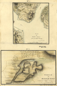
9353.
Plan of Perth Amboy from an actual survey. Sketch of Bonham Town
9354.
Plan of Peru (Partridgefield), surveyor's name not given, dated 1794-5.
9355.
Plan of Peru, surveyor's name not given, dated January 4, 1831
9356.
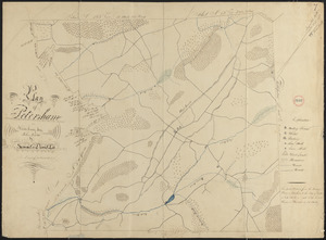
Plan of Petersham made by David Lee and Samuel Lee, dated November 30, 1830
9357.
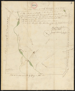
Plan of Petersham made by Jeremiah Robinson, dated May 1795.
9358.
Plan of Phillipston made by Jason Lamb, dated November 1830
9359.
A Plan of Pitts Fort at Pittsburgh. Oct.r 1759
9360.
Plan of Pittsfield, surveyor's name not given, dated 1831
9361.
Plan of Pittsfield surveyor's name not given, dated December 8, 1794.
9362.
Plan of Plainfield District, surveyor's name not given, dated May 20, 1795.
9363.
Plan of Plainfield made by E. S. Darling, dated November, 1830
9364.
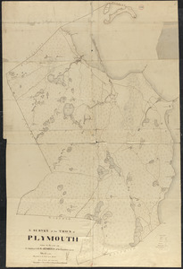
Plan of Plymouth made by S. Bourne, dated 1830
9365.
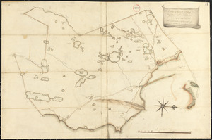
Plan of Plymouth, surveyor's name not given.
9366.
Plan of Plympton, surveyor's name not given, dated June 1, 1795.
9367.
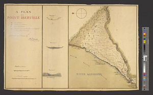
A plan of Point Ibberville
9368.
Plan of Poland (Bakerstown) surveyed by Osgood Carleton, dated 1792.
9369.
A plan of Port Royal harbour in Carolina with the proposed forts, depth of water &c
9370.
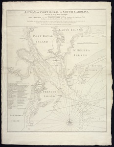
A plan of Port Royal in South Carolina
9371.
A plan of Port Royal in South Carolina
9372.
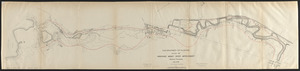
Plan of portion of park system from Common to Franklin Park : including Charles River Basin, Charlesbank, Commonwealth Avenue,...
9373.
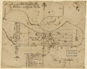
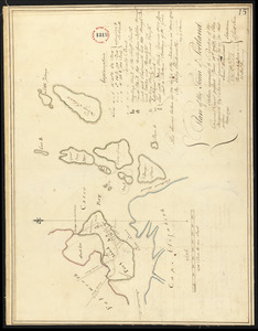
Plan of Portland
9374.
Plan of Portland made by Peleg Wadsworth, dated May 1795.
9375.
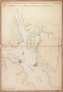
A plan of Portsmouth Harbour in the province of Virginia : shewing the works erected by the British forces for its defence, 1781
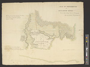
9376.
Plan of Portsmouth on Elizabeth River : from an exact survey made ye. 21st January 1781
9377.
Plan of Pownalborough (Wiscasset, etc.) surveyed by John T Foye, dated May, 1795.
9378.
Plan of Prescott made by E. S. Darling, dated October, 1830
9379.
Plan of Princess Ann and Norfolk counties
9380.
Plan of Princeton, Dec. 31, 1776
9381.
Plan of Princeton made by Amos Meriam, dated October 1830
9382.
Plan of Princeton, surveyor's name not given, dated May 6, 1795.
9383.
Plan of properties at Galloupe's Point : Swampscott, Mass.
9384.
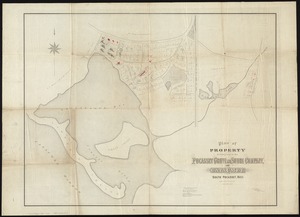
Plan of property belonging to the Pocasset Grove and Shore Company, at Cataumet, South Pocasset, Mass
9385.
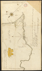
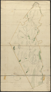
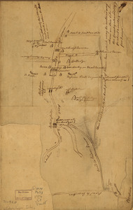
[Plan of property in the Cambridgeport marshes]
9386.
Plan of property of the National Dock & Warehouse Co. East Boston
9387.
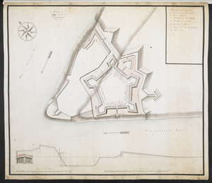
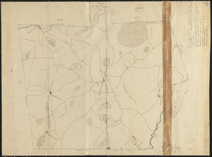
[Plan of proposed Fort Ontario at Oswego]
9388.
Plan of proposed Marginal Street from Broad Street at Rowe's Wharf to Commercial Street at Eastern Avenue : showing adjacent...
9389.
Plan of proposed Muddy River improvement, showing contours : July 23, 1881
9390.
Plan of Prospect, ME, survyed by Robert Houston, dated May 1795.
9391.
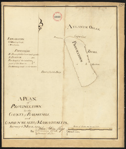
Plan of Provincetown, surveyor's name not given, dated 1831
9392.
Plan of Provincetown, surveyor's name not given, dated May 11, 1795.
9393.
Plan of Public Garden : showing proposed arrangement of lots thereon
9394.
Plan of Public library lot
9395.
Plan of Puerto Cavello, on the coast of the Caracas ; Plan of Puerto de La Guaira on the coast of the Caracas
9396.
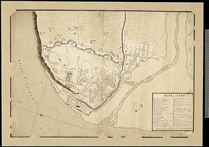
Plan of Quebec
9397.
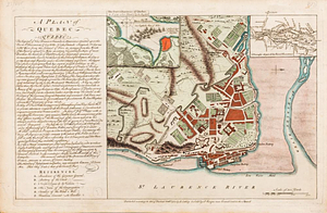
A plan of Quebec
9398.
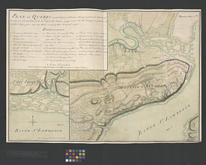
A plan of Quebec
9399.
A plan of Quebec and environs, with its defences and the occasional entrenched camps of the French commanded by Marquis de...
9400.
Plan of Québec and the Heights of Abraham, shewing in particular the French encampment after the battle of the 28th: April,...
‹ Prev
Next ›
1
2
…
184
185
186
187
188
189
190
191
192
…
267
268


![[Plan of property in the Cambridgeport marshes]](https://bpldcassets.blob.core.windows.net/derivatives/images/commonwealth:1257bb747/image_thumbnail_300.jpg)

![[Plan of proposed Fort Ontario at Oswego]](https://bpldcassets.blob.core.windows.net/derivatives/images/commonwealth:hx11z1204/image_thumbnail_300.jpg)