Toggle navigation
LMEC Home
Exhibitions
Georeferencing
Tools for Teachers
Collections
My Favorites
Sign Up / Log In
Search
Search the map portal
Map Collection
Map Collection
Map Sets
Search
Search
Search for
Search In
All Fields
Creator
Title
Subject
Place
Search All Digital Collections
Advanced Search
13385 Results
Filter your Search
Place
North and Central America
9,353
United States
7,078
Suffolk (county)
1,664
Boston
1,621
Europe
1,035
Canada
949
Massachusetts
794
New York
532
more
Place
»
Topic
Boston (Mass.)--Maps
741
City planning--Massachusetts--Boston--Maps
418
United States--History--Revolution, 1775-1783--Maps
329
United States--Maps
315
Urban renewal--Massachusetts--Boston--Maps
254
Real property--Massachusetts--Boston--Maps
252
Massachusetts--Maps
219
Insurance surveys
197
more
Topic
»
Date
Date range begin
–
Date range end
Current results range from
1482
to
2023
View distribution
Creator
United States. Hydrographic Office
595
Boston Redevelopment Authority
403
Des Barres, Joseph F. W. (Joseph Frederick Wallet), 1722-1824
247
Royal United Services Institute for Defence and Security Studies
160
Jefferys, Thomas, -1771
154
George, III, King of Great Britain, 1738-1820
152
George, IV, King of Great Britain, 1762-1830
151
O.H. Bailey & Co
148
more
Creator
»
Format
Maps/Atlases
13,205
Manuscripts
985
Prints
102
Books
49
Drawings/Illustrations
44
Photographs
15
Objects/Artifacts
13
Documents
7
more
Format
»
Georeferenced
Yes
979
No
12,406
Collection
Norman B. Leventhal Map Center Collection
8,891
American Revolutionary War-Era Maps
3,305
Boston and New England Maps
2,804
Urban Maps
2,397
Maritime Charts and Atlases
1,150
William L. Clements Library Collection
910
Library of Congress Collection
618
Boston Redevelopment Authority Collection
475
more
Collection
»
Available to use
No known restrictions
9,952
Creative Commons license
1,677
Search Constraints
Sort by date (desc)
relevance
title
date (asc)
date (desc)
Number of results to display per page
50 per page
10
per page
20
per page
50
per page
100
per page
View results as:
grid view
map view
Search Results
9351.
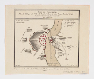
Baie de Chesapeak : plan de l'attaque des villes de Yorck et Gloucester dans lesquelles êtoit fortifie le Général Cornwalia,...
9352.
Barrington Bay
9353.
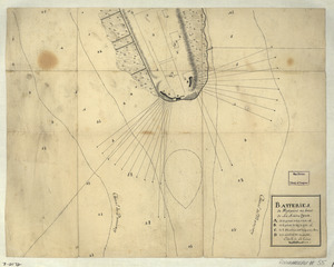
Batteries de West-point au haut de la Rivière d'York
9354.
Battle of Guildford fought on the 15 of March 1781
9355.
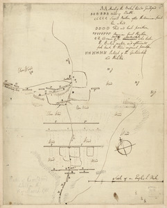
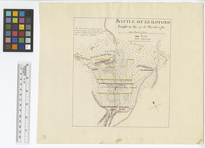
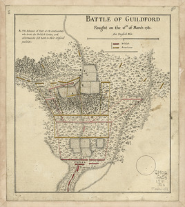
Battle of Guildford fought on the 15 of March 1781
9356.
Battle of Guildford fought on the 15th of March 1781
9357.
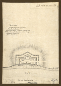
Bay of Pensacola, fortification
9358.
British troop dispositions in and near New York City
9359.
British troop dispositions in and near New York City, July and August 1781
9360.
The British works at Yorktown and Gloucester
9361.
[Buzzards Bay and Vineyard Sound]
9362.
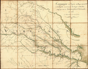
Campagne en Virginie du Major Général M'is de LaFayette : ou se trouvent les camps et marches, ainsy que ceux du Lieutenant...
9363.
Cape Fear River, with the counties adjacent, and the towns of Brunswick and Wilmington, against which Lord Cornwallis, detached...
9364.
Cape Poge bearing S 52°E, distant 2 miles : Sandy Point bearing W S W distant four miles ; Gay Head bearing N E 1/4 E and...
9365.
Cape Prospect ... Cape Sambro ... ; The high lands of Haspotagoen ... ; The Ovens at the entrance of Lunenburg Bay ; Cape Sable...
9366.
Cape Prospect bearing N: by E: distant 10 1/2 miles : Cape Sambro ... ; The high lands of Haspotagoen ... ; The Ovens ... ;...
9367.
Cape St. Mary n.e. one mile ; South entrance of Grand Passage ; St. Marys Bay
9368.
Carte de la campagne de la division aux ordres du Mis. de St. Simon en Virginie depuis le 2 7bre. 1781 jusq-a la reddition...
9369.
Carte de la partie de la Virginie ou l'armée combinée de France & des États-Unis de l'Amérique a fait prisonnière l'armée...
9370.
Carte de la partie nord, des Etats Unis, de l'Amérique Septentrionale
9371.
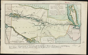
Carte de la route des lacs depuis Montréal et St. Jean jusqu'à la Riviere d'Hudson : réduite d'après les meilleures cartes...
9372.
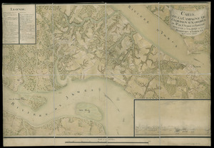
Carte des environs de York en Virginie avec les attaques et la position des armées Françoise et Américaine, devant cette place...
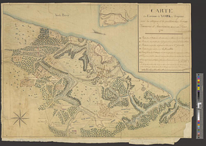
9373.
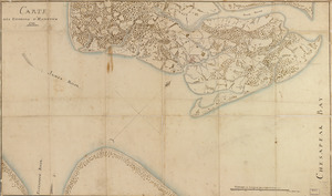
Carte des environs d'Hampton
9374.
Carte des environs du Fort Pitt et de la nouvelle province Indiana : dediée a M. Franklin
9375.
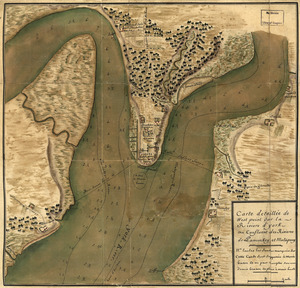
Carte detaillée de West Point sur la rivière d'York au confluent des Rivières de Pamunkey et Matapony
9376.
[Charles Town Harbour & adjacent Islands, Country, Rivers &c]
9377.
[Charles Town Neck Exhibiting the Plan of the Town and all the Fortifications in December 1781]
9378.
Charles Town, South Carolina : with a chart of the bars & harbour
9379.
Charlotte Bay
9380.
Chart and plan of the harbour of New York & the couny. adjacent, from Sandy Hook to Kingsbridge, comprehending the whole of New...
9381.
Chart and plan of the harbour of New York & the couny. adjacent, from Sandy Hook to Kingsbridge, comprehending the whole of New...
9382.
A chart of Cape Breton and St. John's Islands &c. in the gulph of St. Lawrence
9383.
A chart of Port Royal and Kingston Harbours, in the island of Jamaica
9384.
A chart of the harbour of Boston
9385.
A chart of the harbour of Rhode Island and Narraganset Bay
9386.
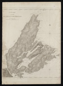
A chart of the island of Cape Breton
9387.
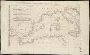
A chart of the Mediterranean Sea, with part of the Atlantic Ocean and Adriatic Sea, with the islands of Minorca, Majorca,...
9388.
Chart showing the depth of the James and York rivers as they enter Chesapeake Bay, with towns adjacent
9389.
Charts of the coast and harbors of New England : [title page]
9390.
[Chignecto Bay and vicinity]
9391.
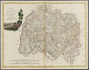
Circolo di Svevia diviso ne suoi stati di nuova projezione
9392.
The coast of New England
9393.
The coast of New England
9394.
[Coast of New England from Chatham Harbor to Naragansett Bay]
9395.
Coast of New Hampshire and Massachusetts from Great Boars Head to Marblehead Harbor
9396.
Coast of New Hampshire and Massachusetts from Great Boars Head to Marblehead Harbor
9397.
[Coast of Rhode Island and Long Island from Narragansett Bay to Peconic Bay]
9398.
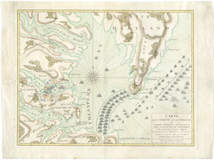
Combat naval à la hauteur de la Baye de Chézapeake [sic] le 5 7bre. 1781
9399.
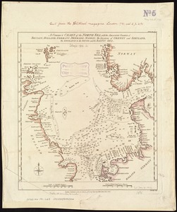
A correct chart of the North Sea, with the adjacent coasts of Britain, Holland, Germany, Denmark, Norway, the islands of Orkney...
9400.
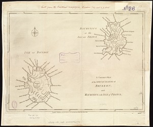
A correct map of the African islands of Bourbon, and Mauritius or the Isle of France
‹ Prev
Next ›
1
2
…
184
185
186
187
188
189
190
191
192
…
267
268


![[Buzzards Bay and Vineyard Sound]](https://bpldcassets.blob.core.windows.net/derivatives/images/commonwealth:7h149z564/image_thumbnail_300.jpg)


![[Charles Town Harbour & adjacent Islands, Country, Rivers &c]](https://bpldcassets.blob.core.windows.net/derivatives/images/commonwealth:hx11z271t/image_thumbnail_300.jpg)
![[Charles Town Neck Exhibiting the Plan of the Town and all the Fortifications in December 1781]](https://bpldcassets.blob.core.windows.net/derivatives/images/commonwealth:hx11z273c/image_thumbnail_300.jpg)


![[Chignecto Bay and vicinity]](https://bpldcassets.blob.core.windows.net/derivatives/images/commonwealth:z603vj91v/image_thumbnail_300.jpg)


![[Coast of New England from Chatham Harbor to Naragansett Bay]](https://bpldcassets.blob.core.windows.net/derivatives/images/commonwealth:7h149z37x/image_thumbnail_300.jpg)


![[Coast of Rhode Island and Long Island from Narragansett Bay to Peconic Bay]](https://bpldcassets.blob.core.windows.net/derivatives/images/commonwealth:7h149z14m/image_thumbnail_300.jpg)
![Combat naval à la hauteur de la Baye de Chézapeake [sic] le 5 7bre. 1781](https://bpldcassets.blob.core.windows.net/derivatives/images/commonwealth:z603vn12t/image_thumbnail_300.jpg)