Search Constraints
Search Results
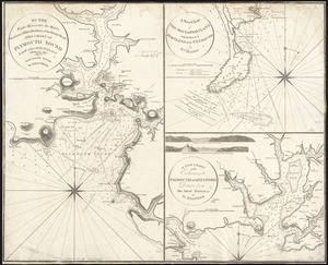


12413. Tobago


![[Torbay]](https://bpldcassets.blob.core.windows.net/derivatives/images/commonwealth:z603vj95z/image_thumbnail_300.jpg)
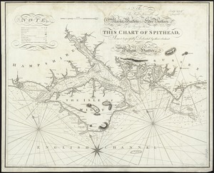
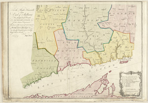
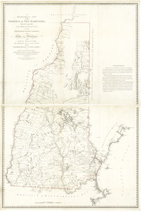
12488. [Torbay]
![[Torbay]](https://bpldcassets.blob.core.windows.net/derivatives/images/commonwealth:z603vj992/image_thumbnail_300.jpg)
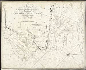
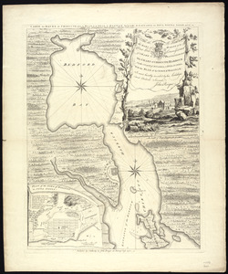
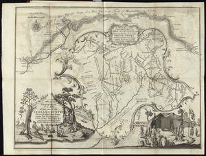
12489. [Torbay]
![[Torbay]](https://bpldcassets.blob.core.windows.net/derivatives/images/commonwealth:z603vk01w/image_thumbnail_300.jpg)
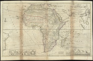
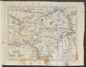
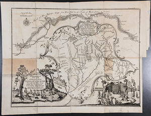
12490. [Torbay]
![[Torbay]](https://bpldcassets.blob.core.windows.net/derivatives/images/commonwealth:z603vj97h/image_thumbnail_300.jpg)
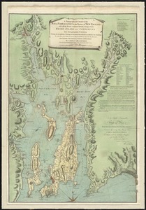
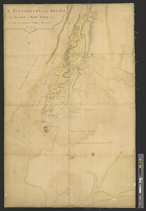
12491. [Torbay]
![[Torbay]](https://bpldcassets.blob.core.windows.net/derivatives/images/commonwealth:ws859h01x/image_thumbnail_300.jpg)
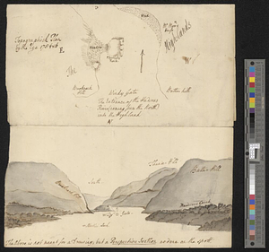
12492. [Torbay]

12493. Torrington, Conn : 1889
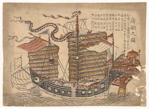
12494. Tosen zozu

12495. Total foreign-born


