Toggle navigation
LMEC Home
Exhibitions
Georeferencing
Tools for Teachers
Collections
My Favorites
Sign Up / Log In
Search
Search the map portal
Map Collection
Map Collection
Map Sets
Search
Search
Search for
Search In
All Fields
Creator
Title
Subject
Place
Search All Digital Collections
Advanced Search
253 Results
My Search
Start Over
Date
1845
to
1849
Remove constraint Date: <span class='from'>1845</span> to <span class='to'>1849</span>
Filter your Search
Place
North and Central America
138
United States
115
Massachusetts
54
Europe
47
Oceania
32
Suffolk (county)
23
Boston
21
New England
16
more
Place
»
Topic
United States Exploring Expedition (1838-1842)
16
New England--Maps
12
Boston (Mass.)--Maps
10
Massachusetts--Maps
10
Railroads--New England--Maps
10
United States--Maps
10
Railroads--Massachusetts--Maps
8
Railroads--New York (State)--Maps
7
more
Topic
»
Date
1845
to
1849
[remove]
253
Date range begin
–
Date range end
Current results range from
1770
to
1990
1845
to
1845
116
1846
to
1846
124
1847
to
1847
115
1848
to
1848
117
1849
to
1849
139
Creator
United States Exploring Expedition (1838-1842)
34
Wilkes, Charles, 1798-1877
31
Sherman & Smith
19
J. & C. Walker (Firm)
10
Great Britain. Hydrographic Office
7
Vidal, A. T. E. (Alexander Thomas Emeric), 1792-1863
7
Dower, John, active 1838-1846?
6
Horsburgh, James
5
more
Creator
»
Format
Maps/Atlases
249
Manuscripts
14
Prints
3
Books
1
Georeferenced
Yes
32
No
221
Collection
Norman B. Leventhal Map & Education Center Collection
226
Boston and New England Maps
62
Urban Maps
54
Maritime Charts and Atlases
52
American Revolutionary War-Era Maps
13
Library of Congress Collection
5
Robert E. Diefenbach Map Collection at Phillips Academy
5
Lucius Beebe Memorial Library Historic Maps
4
more
Collection
»
Available to use
No known restrictions
232
Creative Commons license
11
Search Constraints
Sort by relevance
relevance
title
date (asc)
date (desc)
Number of results to display per page
20 per page
10
per page
20
per page
50
per page
100
per page
View results as:
grid view
map view
Search Results
221.
Rail road map of New England & eastern New York
222.
Railroad map of New England & eastern New York complied from the most authentic sources
223.
Rhein Panorama von Cöln nach Düsseldorf und Mainz
224.
Rock's illustrated map of London
225.
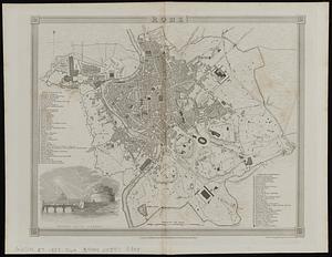
Rome
226.
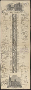
Route of the Providence and Worcester rail road
227.
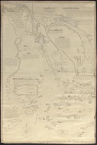
Seagull Harbour, Gretton Bay, Wollaston Island, Tierra del Fuego
228.
Seven miles around Jerusalem : from original surveys and observations
229.
Siege of Vera Cruz, by the U.S. troops under Major General Scott, in March 1847, from surveys made by Major Turnbull, Captains...
230.
Skeleton map showing the rail roads completed and in progress in the United States and their connection as proposed with the...
231.
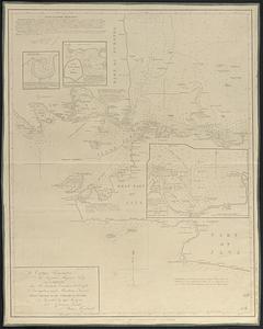
[Sketch of the region of the island of Cape Breton, between the parallels of forty-five and forty-eight degrees of latitude]
232.
Sketch of the states of Massachusetts, Connecticut, and Rhode Island, and parts of New Hampshire & New York exhibiting the...
233.
St. Pablo, Paumotu Group ; Nukutipipi or Margaret Island, Paumotu Group ; Heretua or Archangel of Quiros, Paumotu Group ; Teku...
234.
The State of Florida : compiled in the Bureau of Topographical Engineers from the best authorities
235.
Swains Island ; Jarvis' Island ; Birnies Island, Phœnix Group ; Enderbury' Island, Phœnix Group - Hull's Island, Phœnix Group ;...
236.
Taiara or King's Island ; Henuake, Honden or Dog Id. ; Penrhyns Island ; Two groups
237.
Taputeouea or Drummond's Island, Kingsmill Group ; Peacock's anchorage at Drummond's Island, Kingsmill Group
238.
This map of Kentucke
239.
To Captain Krusenstern, of the Imperial Russian Navy, as a tribute for his laudable exertions to benefit navigation and...
240.
To Chas. Marjoribanks esqre. and the other members of the Honble. East India Company's factory at Canton, this chart of Choo...
‹ Prev
Next ›
1
2
…
8
9
10
11
12
13


![[Sketch of the region of the island of Cape Breton, between the parallels of forty-five and forty-eight degrees of latitude]](https://bpldcassets.blob.core.windows.net/derivatives/images/commonwealth:4m90fh38k/image_thumbnail_300.jpg)